N3161 Paap Rd Weyauwega, WI 54983
Estimated Value: $152,000 - $278,000
2
Beds
--
Bath
948
Sq Ft
$217/Sq Ft
Est. Value
About This Home
This home is located at N3161 Paap Rd, Weyauwega, WI 54983 and is currently estimated at $205,678, approximately $216 per square foot. N3161 Paap Rd is a home located in Waupaca County with nearby schools including Weyauwega Elementary School, Weyauwega Middle School, and Weyauwega High School.
Ownership History
Date
Name
Owned For
Owner Type
Purchase Details
Closed on
Feb 14, 2024
Sold by
Hallman Arthur E
Bought by
Arthur E Hallman Sr Irrevocable Income-Only T
Current Estimated Value
Purchase Details
Closed on
Oct 24, 2023
Sold by
Hallman Daniel G
Bought by
Abrahamson Jacob
Purchase Details
Closed on
Jan 30, 2013
Sold by
Peters Clarence A and Peters Beatrice M
Bought by
Hallman Daniel G
Create a Home Valuation Report for This Property
The Home Valuation Report is an in-depth analysis detailing your home's value as well as a comparison with similar homes in the area
Home Values in the Area
Average Home Value in this Area
Purchase History
| Date | Buyer | Sale Price | Title Company |
|---|---|---|---|
| Arthur E Hallman Sr Irrevocable Income-Only T | -- | None Listed On Document | |
| Abrahamson Jacob | -- | None Listed On Document | |
| Hallman Daniel G | $241,900 | None Available |
Source: Public Records
Tax History Compared to Growth
Tax History
| Year | Tax Paid | Tax Assessment Tax Assessment Total Assessment is a certain percentage of the fair market value that is determined by local assessors to be the total taxable value of land and additions on the property. | Land | Improvement |
|---|---|---|---|---|
| 2024 | $1,245 | $104,300 | $19,100 | $85,200 |
| 2023 | $1,245 | $58,900 | $11,100 | $47,800 |
| 2022 | $1,146 | $58,400 | $10,600 | $47,800 |
| 2021 | $1,104 | $57,700 | $9,900 | $47,800 |
| 2020 | $1,069 | $57,700 | $9,900 | $47,800 |
| 2019 | $1,020 | $57,400 | $9,600 | $47,800 |
| 2018 | $1,104 | $57,600 | $9,800 | $47,800 |
| 2017 | $855 | $57,700 | $9,900 | $47,800 |
| 2016 | $855 | $57,800 | $10,000 | $47,800 |
| 2015 | $847 | $57,800 | $10,000 | $47,800 |
| 2014 | $863 | $57,700 | $9,900 | $47,800 |
| 2013 | $917 | $57,800 | $10,000 | $47,800 |
Source: Public Records
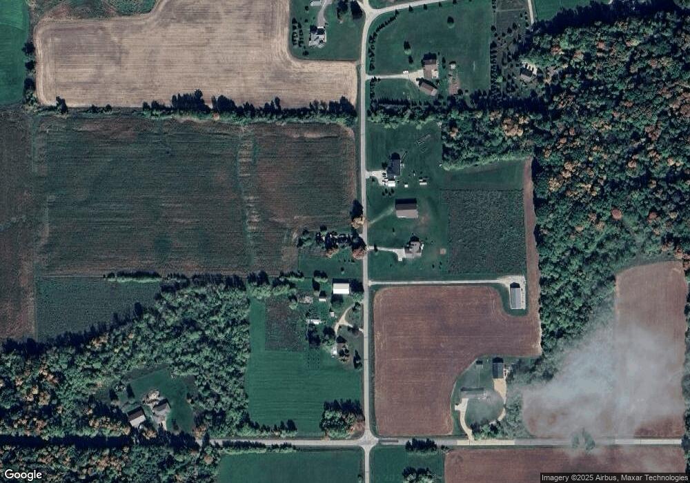
Map
Nearby Homes
- E5698 Waukaunaka St
- 5599 County Road Aa
- 1019 Mill Pond Cir
- 1009 Mill Pond Cir
- 201 2nd Ave
- 0 State Highway 22 54
- 0 Handrich Rd
- 103 W Main St
- 0 Wisconsin 49
- E4347 E Gate Dr
- 0 Hillside Dr Unit 50308768
- 0 Hillside Dr Unit 50311949
- 0 Guth Rd Unit 50315739
- 0 Commercial Dr Unit 50291246
- 0 Commercial Dr Unit 50312972
- 0 Commercial Dr Unit 50291198
- 0 Commercial Dr Unit 50312984
- 0 Runway Dr Unit 50291193
- 0 Runway Dr Unit 50256086
- 0 Runway Dr Unit 50179248
- N3188 Paap Rd
- N3158 Paap Rd
- N3133 Paap Rd
- N3148 Paap Rd
- E5332 White Lake Rd
- N3214 Paap Rd
- 0 Paap Rd Unit 50079852
- 0 Paap Rd Unit 50026904
- 0 Paap Rd Unit 50026903
- 0 Paap Rd Unit 50079853
- 0 Paap Rd Unit 50130215
- N3240 Paap Rd
- E5248 White Lake Rd
- N3074 Paap Rd
- E5275 White Lake Rd
- N3252 Paap Rd
- N3283 State Road 110
- N3279 State Road 110
- E5450 White Lake Rd
- N3301 State Road 110