N3188 Paap Rd Weyauwega, WI 54983
Estimated Value: $362,000 - $509,000
4
Beds
--
Bath
1,674
Sq Ft
$261/Sq Ft
Est. Value
About This Home
This home is located at N3188 Paap Rd, Weyauwega, WI 54983 and is currently estimated at $436,712, approximately $260 per square foot. N3188 Paap Rd is a home located in Waupaca County with nearby schools including Weyauwega Elementary School, Weyauwega Middle School, and Weyauwega High School.
Ownership History
Date
Name
Owned For
Owner Type
Purchase Details
Closed on
Jun 13, 2007
Sold by
Pfunett Llc
Bought by
Nett Derek P and Nett Kerry A
Current Estimated Value
Home Financials for this Owner
Home Financials are based on the most recent Mortgage that was taken out on this home.
Original Mortgage
$180,000
Outstanding Balance
$110,558
Interest Rate
6.26%
Mortgage Type
Construction
Estimated Equity
$326,154
Create a Home Valuation Report for This Property
The Home Valuation Report is an in-depth analysis detailing your home's value as well as a comparison with similar homes in the area
Home Values in the Area
Average Home Value in this Area
Purchase History
| Date | Buyer | Sale Price | Title Company |
|---|---|---|---|
| Nett Derek P | $20,000 | None Available |
Source: Public Records
Mortgage History
| Date | Status | Borrower | Loan Amount |
|---|---|---|---|
| Open | Nett Derek P | $180,000 |
Source: Public Records
Tax History Compared to Growth
Tax History
| Year | Tax Paid | Tax Assessment Tax Assessment Total Assessment is a certain percentage of the fair market value that is determined by local assessors to be the total taxable value of land and additions on the property. | Land | Improvement |
|---|---|---|---|---|
| 2024 | $4,774 | $343,700 | $50,500 | $293,200 |
| 2023 | $4,774 | $215,300 | $32,200 | $183,100 |
| 2022 | $3,893 | $202,500 | $32,200 | $170,300 |
| 2021 | $3,786 | $202,500 | $32,200 | $170,300 |
| 2020 | $3,744 | $202,500 | $32,200 | $170,300 |
| 2019 | $3,574 | $202,500 | $32,200 | $170,300 |
| 2018 | $3,887 | $202,500 | $32,200 | $170,300 |
| 2017 | $3,123 | $202,500 | $32,200 | $170,300 |
| 2016 | $3,026 | $202,500 | $32,200 | $170,300 |
| 2015 | $3,110 | $202,500 | $32,200 | $170,300 |
| 2014 | $3,163 | $202,500 | $32,200 | $170,300 |
| 2013 | $3,352 | $202,500 | $32,200 | $170,300 |
Source: Public Records
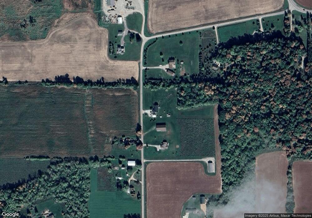
Map
Nearby Homes
- E5629 Waukaunaka St
- E5698 Waukaunaka St
- 1019 Mill Pond Cir
- 1003 Mill Pond Cir
- 1010A/B Mill Pond Cir
- 1028 Mill Pond Cir
- 1022 Mill Pond Cir
- 1005 Mill Pond Cir
- 1009 Mill Pond Cir
- 0 M Behm Ave
- 0 Ave
- 201 2nd Ave
- 0 State Highway 22 54
- 0 Handrich Rd
- 103 W Main St
- 217 E Main St
- 111 W Parker St
- 110 W Sumner St
- 514 E Main St
- 205 W Main St
- N3158 Paap Rd
- N3161 Paap Rd
- N3214 Paap Rd
- N3148 Paap Rd
- 0 Paap Rd Unit 50079852
- 0 Paap Rd Unit 50026904
- 0 Paap Rd Unit 50026903
- 0 Paap Rd Unit 50079853
- 0 Paap Rd Unit 50130215
- N3240 Paap Rd
- N3133 Paap Rd
- E5332 White Lake Rd
- N3252 Paap Rd
- N3283 State Road 110
- E5248 White Lake Rd
- N3074 Paap Rd
- N3279 State Road 110
- N3301 State Road 110
- E5275 White Lake Rd
- N3273 State Road 110