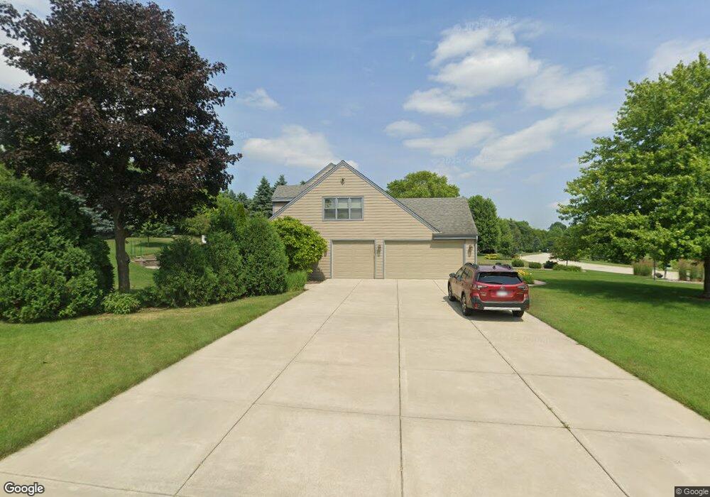
N32W23442 Fieldside Rd Pewaukee, WI 53072
Estimated Value: $514,000 - $770,000
--
Bed
--
Bath
--
Sq Ft
0.84
Acres
About This Home
This home is located at N32W23442 Fieldside Rd, Pewaukee, WI 53072 and is currently estimated at $672,991. N32W23442 Fieldside Rd is a home located in Waukesha County with nearby schools including Pewaukee Lake Elementary School, Asa Clark Middle School, and Pewaukee High School.
Ownership History
Date
Name
Owned For
Owner Type
Purchase Details
Closed on
Aug 19, 2024
Sold by
Leeds Thomas M and Leeds Patricia A
Bought by
Thomas M Leeds And Patricia A Leeds Revocable and Leeds
Current Estimated Value
Purchase Details
Closed on
Jul 30, 1996
Sold by
Braby Lawrence E and Braby Lawrence E
Bought by
Leeds Thomas M and Leeds Patricia A
Home Financials for this Owner
Home Financials are based on the most recent Mortgage that was taken out on this home.
Original Mortgage
$207,000
Interest Rate
8.18%
Mortgage Type
Balloon
Create a Home Valuation Report for This Property
The Home Valuation Report is an in-depth analysis detailing your home's value as well as a comparison with similar homes in the area
Home Values in the Area
Average Home Value in this Area
Purchase History
| Date | Buyer | Sale Price | Title Company |
|---|---|---|---|
| Thomas M Leeds And Patricia A Leeds Revocable | -- | None Listed On Document | |
| Leeds Thomas M | $308,000 | -- |
Source: Public Records
Mortgage History
| Date | Status | Borrower | Loan Amount |
|---|---|---|---|
| Previous Owner | Leeds Thomas M | $207,000 |
Source: Public Records
Tax History Compared to Growth
Tax History
| Year | Tax Paid | Tax Assessment Tax Assessment Total Assessment is a certain percentage of the fair market value that is determined by local assessors to be the total taxable value of land and additions on the property. | Land | Improvement |
|---|---|---|---|---|
| 2024 | $5,931 | $485,400 | $162,300 | $323,100 |
| 2023 | $5,901 | $485,400 | $162,300 | $323,100 |
| 2022 | $6,079 | $485,400 | $162,300 | $323,100 |
| 2021 | $6,044 | $485,400 | $162,300 | $323,100 |
| 2020 | $6,156 | $397,100 | $144,700 | $252,400 |
| 2019 | $5,993 | $397,100 | $144,700 | $252,400 |
| 2018 | $5,775 | $397,100 | $144,700 | $252,400 |
| 2017 | $5,751 | $397,100 | $144,700 | $252,400 |
| 2016 | $5,966 | $397,100 | $144,700 | $252,400 |
| 2015 | $6,047 | $397,100 | $144,700 | $252,400 |
| 2014 | $6,293 | $397,100 | $144,700 | $252,400 |
| 2013 | $6,293 | $397,100 | $144,700 | $252,400 |
Source: Public Records
Map
Nearby Homes
- W233N3088 Oakmont Ct E Unit B
- N35W23701 Auburn Ct Unit 1
- W229N3655 Sterling Ct
- N25W24117 River Park Dr Unit 2
- N28W22352 Foxwood Ln
- W241N2573 E Parkway Meadow Cir Unit 3
- N42W22833 Beacon Ct
- N26W22577 Oakwood Ln
- W240N2500 E Parkway Meadow Cir Unit 8
- W241N2507 E Parkway Meadow Cir Unit 6
- 1339 Hillwood Blvd Unit D
- 509 Westfield Way Unit F
- N24W22420 Meadowood Ln
- 1023 Waterstone Ct
- W243N2280 Deer Park Dr Unit A
- N45W22742 Charlotte Way
- 1136 Oxbow Ct
- 1019 Waterstone Ct
- 353 Westfield Way
- 1039 Waterstone Ct
- N32W23390 Fieldside Rd
- N32W23450 Fieldside Rd
- W234N3331 Harvest Ln
- N33W23363 Greenbriar Ct
- W234N3340 Harvest Ln
- N32W23476 Fieldside Rd
- N33W23399 Greenbriar Ct
- W234N3337 Harvest Ln
- N32W23465 Fieldside Rd
- N33W23357 Greenbriar Ct
- W234N3362 Harvest Ln
- N32W23510 Fieldside Rd
- N33W23386 Greenbriar Ct
- N32W23511 Fieldside Rd
- N32W23310 Fieldside Rd
- W234N3345 Harvest Ln
- W234N3359 Harvest Ln
- N33W23382 Greenbriar Ct
- N32W23522 Fieldside Rd
- W234N3380 Harvest Ln