N3369 Covered Bridge Rd Waupaca, WI 54981
Estimated Value: $284,000 - $366,000
--
Bed
--
Bath
--
Sq Ft
2.2
Acres
About This Home
This home is located at N3369 Covered Bridge Rd, Waupaca, WI 54981 and is currently estimated at $340,477. N3369 Covered Bridge Rd is a home located in Waupaca County with nearby schools including Waupaca Learning Center Elementary School, Waupaca Middle School, and Waupaca High School.
Ownership History
Date
Name
Owned For
Owner Type
Purchase Details
Closed on
Feb 10, 2022
Sold by
Bell Brion A and Aralda Ann
Bought by
Bell Family Revocable Trust and Bell
Current Estimated Value
Create a Home Valuation Report for This Property
The Home Valuation Report is an in-depth analysis detailing your home's value as well as a comparison with similar homes in the area
Home Values in the Area
Average Home Value in this Area
Purchase History
| Date | Buyer | Sale Price | Title Company |
|---|---|---|---|
| Bell Family Revocable Trust | -- | None Listed On Document |
Source: Public Records
Tax History Compared to Growth
Tax History
| Year | Tax Paid | Tax Assessment Tax Assessment Total Assessment is a certain percentage of the fair market value that is determined by local assessors to be the total taxable value of land and additions on the property. | Land | Improvement |
|---|---|---|---|---|
| 2024 | $3,224 | $228,700 | $62,000 | $166,700 |
| 2023 | $3,224 | $228,700 | $62,000 | $166,700 |
| 2022 | $2,860 | $228,700 | $62,000 | $166,700 |
| 2021 | $3,389 | $200,700 | $52,500 | $148,200 |
| 2020 | $3,352 | $200,700 | $52,500 | $148,200 |
| 2019 | $3,365 | $200,700 | $52,500 | $148,200 |
| 2018 | $3,520 | $200,700 | $52,500 | $148,200 |
| 2017 | $3,645 | $200,700 | $52,500 | $148,200 |
| 2016 | $3,507 | $200,700 | $52,500 | $148,200 |
| 2015 | $3,578 | $200,700 | $52,500 | $148,200 |
| 2014 | $3,551 | $200,700 | $52,500 | $148,200 |
| 2013 | $3,577 | $200,700 | $52,500 | $148,200 |
Source: Public Records
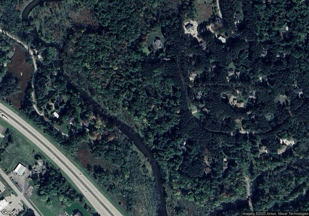
Map
Nearby Homes
- 0 Covered Bridge Rd Unit 50292957
- 1015 W Fulton St
- E2059 N Westgate Acres Rd
- E2264 Meadow Valley Ct
- 210 Country Side Ct Unit C
- 901 Thomas Trail
- 920 Thomas Trail
- 401 Bailey St
- 1500 Foxfire Ct
- 1547 Foxfire Ct
- 1579 Foxfire Ct
- 602 North St
- 908 Honey Bear Ln
- 578 Highland Dr
- 2001 State Rd 54
- 406 W Fulton St
- 401 Granite St
- N2769 Taylor Ct
- N2883 Otter Dr
- E2086 King Rd
- N3359 Covered Bridge Rd
- N3368 Covered Bridge Rd
- N3353 Covered Bridge Rd
- N3354 Covered Bridge Rd
- E2278 Fawn Ridge Ct
- N3395 Covered Bridge Rd
- N3390 Covered Bridge Rd
- E2291 Fawn Ridge Ct
- N3344 Covered Bridge Rd
- E2284 Fawn Ridge Ct
- E2284 Fawn Ridge Ct
- N3404 Covered Bridge Rd
- N3320 Alm Ln
- N3345 Covered Bridge Rd
- N2377 Lamplighter Ln
- E2298 Fawn Ridge Ct
- N3326 Alm Ln
- E2297 Fawn Ridge Ct
- N3336 Covered Bridge Rd
- N3329 Covered Bridge Rd