Estimated Value: $193,716 - $232,000
--
Bed
--
Bath
--
Sq Ft
0.25
Acres
About This Home
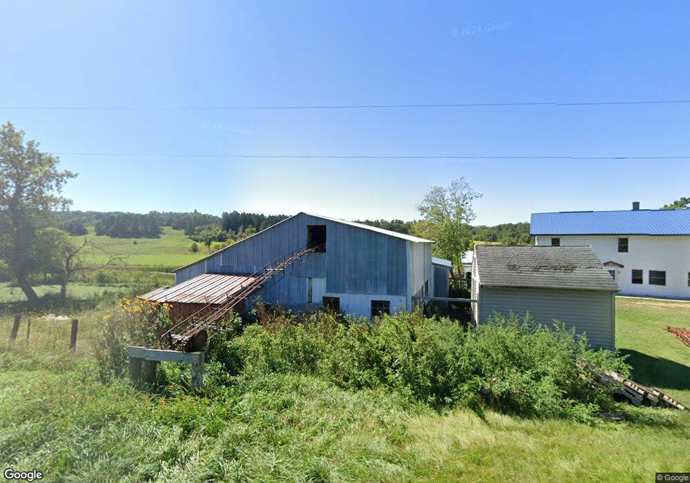
This home is located at N35185 County Rd S, Blair, WI 54616 and is currently estimated at $206,429. N35185 County Rd S is a home located in Trempealeau County with nearby schools including Whitehall Memorial Elementary School, Whitehall Memorial Jr./Sr. High School, and Pine Creek Amish School.
Ownership History
Date
Name
Owned For
Owner Type
Purchase Details
Closed on
Jul 17, 2023
Sold by
Borntreger Amos and Borntreger Susan
Bought by
Stutzman David and Stutzman Ella
Current Estimated Value
Purchase Details
Closed on
Jul 2, 2010
Sold by
Hochstetler Amos
Bought by
Hochstetler David L
Home Financials for this Owner
Home Financials are based on the most recent Mortgage that was taken out on this home.
Original Mortgage
$64,950
Interest Rate
4.74%
Mortgage Type
Purchase Money Mortgage
Create a Home Valuation Report for This Property
The Home Valuation Report is an in-depth analysis detailing your home's value as well as a comparison with similar homes in the area
Home Values in the Area
Average Home Value in this Area
Purchase History
| Date | Buyer | Sale Price | Title Company |
|---|---|---|---|
| Stutzman David | $225,000 | Kostner Koslo & Brovold Llc | |
| Hochstetler David L | $70,000 | None Available |
Source: Public Records
Mortgage History
| Date | Status | Borrower | Loan Amount |
|---|---|---|---|
| Previous Owner | Hochstetler David L | $64,950 |
Source: Public Records
Tax History Compared to Growth
Tax History
| Year | Tax Paid | Tax Assessment Tax Assessment Total Assessment is a certain percentage of the fair market value that is determined by local assessors to be the total taxable value of land and additions on the property. | Land | Improvement |
|---|---|---|---|---|
| 2024 | $2,027 | $130,000 | $1,100 | $128,900 |
| 2023 | $1,850 | $130,000 | $1,100 | $128,900 |
| 2022 | $1,651 | $130,000 | $1,100 | $128,900 |
| 2021 | $1,895 | $103,800 | $900 | $102,900 |
| 2020 | $1,934 | $10,420 | $900 | $9,520 |
| 2019 | $1,362 | $71,800 | $900 | $70,900 |
| 2018 | $1,235 | $71,300 | $900 | $70,400 |
| 2017 | $1,230 | $71,300 | $900 | $70,400 |
| 2016 | $1,041 | $62,700 | $900 | $61,800 |
| 2015 | $1,070 | $68,200 | $900 | $67,300 |
| 2014 | $1,063 | $68,200 | $900 | $67,300 |
| 2011 | $984 | $61,400 | $900 | $60,500 |
Source: Public Records
Map
Nearby Homes
- N34855 County Rd S
- N34701 County Rd N
- XX Vold Rd
- N34701 County Rd S
- N36836 Us Highway 53 121
- 612 E Broadway St
- 517 W Broadway St
- 102 S Peterson Ave
- 127 E Broadway St
- 313 S Park Rd
- 328 S Urberg Ave
- 18124 Fredrickson St
- 18144 Anderson St
- 36290 Camp St
- 18430 Hillside Dr
- 36015 Main St
- 39971 Anderson St
- 39885 Winsand Dr
- 40257 Olson St
- W12198 County Road P
- W13723 Kabus Rd
- N35209 County Rd S
- W13501 Fly Creek Rd
- N35227 County Rd S
- N35182 Weverstad Rd
- W13316 Neitzke Ln
- W13232 Neitzke Ln
- N35590 Weverstad Rd
- N35299 Weverstad Rd
- W13237 Fly Creek Rd
- N35684 Weverstad Rd
- W13177 Neitzke Ln
- W13124 Neitzke Ln
- W13107 Neitzke Ln
- Tbd County Rd S
- N36022 Foss Rd
- N36052 Foss Rd
- W12775 Neitzke Ln