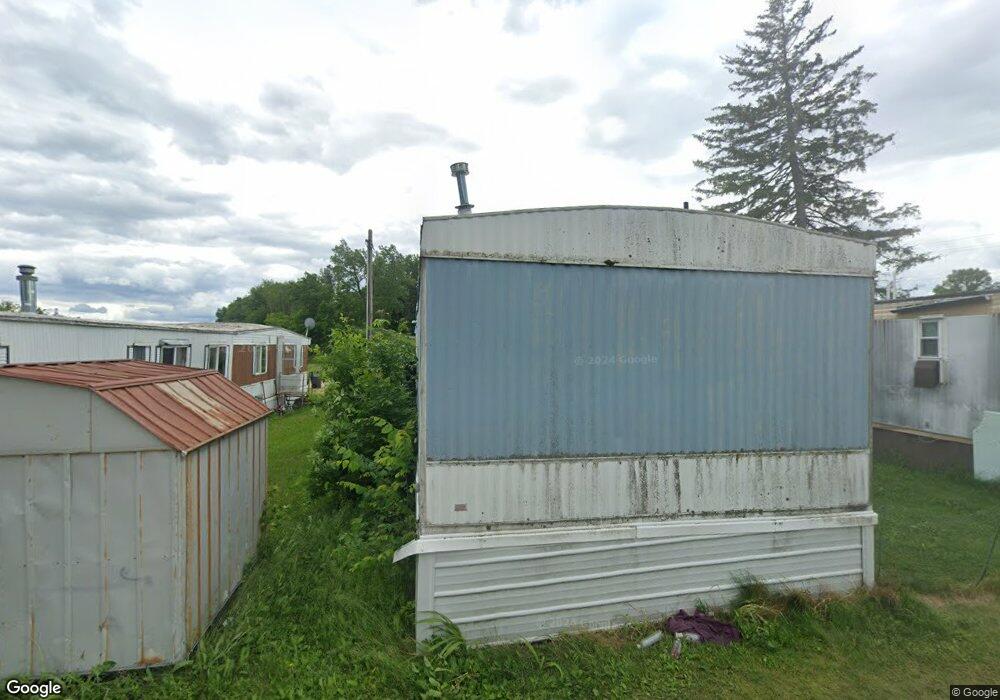
N35932 Us Highway 53 Whitehall, WI 54773
--
Bed
--
Bath
1,400
Sq Ft
5.53
Acres
About This Home
This home is located at N35932 Us Highway 53, Whitehall, WI 54773. N35932 Us Highway 53 is a home located in Trempealeau County with nearby schools including Whitehall Memorial Elementary School, Whitehall Memorial Jr./Sr. High School, and Fly Creek Amish School.
Ownership History
Date
Name
Owned For
Owner Type
Purchase Details
Closed on
Jan 4, 2022
Sold by
Riverside Court Llc
Bought by
Tne Investments Llc
Purchase Details
Closed on
Oct 30, 2017
Sold by
Olson Elise G and Estate Of Brady L Olson
Bought by
Riverside Cort Llc
Home Financials for this Owner
Home Financials are based on the most recent Mortgage that was taken out on this home.
Original Mortgage
$125,000
Interest Rate
3.83%
Mortgage Type
Purchase Money Mortgage
Purchase Details
Closed on
Jul 23, 2012
Sold by
Olson Aaron T
Bought by
Olson Brady L
Home Financials for this Owner
Home Financials are based on the most recent Mortgage that was taken out on this home.
Original Mortgage
$1,835,000
Interest Rate
3.54%
Mortgage Type
Commercial
Create a Home Valuation Report for This Property
The Home Valuation Report is an in-depth analysis detailing your home's value as well as a comparison with similar homes in the area
Home Values in the Area
Average Home Value in this Area
Purchase History
| Date | Buyer | Sale Price | Title Company |
|---|---|---|---|
| Tne Investments Llc | $235,000 | Kostner Koslo & Brovold Llc | |
| Riverside Cort Llc | $140,000 | None Available | |
| Olson Brady L | $45,000 | None Available |
Source: Public Records
Mortgage History
| Date | Status | Borrower | Loan Amount |
|---|---|---|---|
| Previous Owner | Riverside Cort Llc | $125,000 | |
| Previous Owner | Olson Brady L | $1,835,000 |
Source: Public Records
Tax History Compared to Growth
Tax History
| Year | Tax Paid | Tax Assessment Tax Assessment Total Assessment is a certain percentage of the fair market value that is determined by local assessors to be the total taxable value of land and additions on the property. | Land | Improvement |
|---|---|---|---|---|
| 2024 | $1,876 | $101,700 | $28,600 | $73,100 |
| 2023 | $1,764 | $101,700 | $28,600 | $73,100 |
| 2022 | $1,644 | $101,700 | $28,600 | $73,100 |
| 2021 | $1,854 | $101,700 | $28,600 | $73,100 |
| 2020 | $1,833 | $35,910 | $28,600 | $7,310 |
| 2019 | $1,929 | $88,400 | $18,700 | $69,700 |
| 2018 | $1,780 | $88,400 | $18,700 | $69,700 |
| 2017 | $1,681 | $88,400 | $18,700 | $69,700 |
| 2016 | $1,698 | $88,400 | $18,700 | $69,700 |
| 2015 | $1,634 | $88,400 | $18,700 | $69,700 |
| 2014 | $1,634 | $88,400 | $18,700 | $69,700 |
| 2011 | $1,553 | $88,400 | $18,700 | $69,700 |
Source: Public Records
Map
Nearby Homes
- 18144 Anderson St
- 18124 Fredrickson St
- 18430 Hillside Dr
- 36290 Camp St
- 36015 Main St
- N36836 Us Highway 53 121
- N32838 Briten Rd
- N34701 County Rd N
- N34855 County Rd S
- 36121 Ash St
- N30732 Square Bluff Rd
- 35433 Wayne St
- 35979 Osseo Rd
- 517 W Broadway St
- 23898 Adams St
- 23942 Tracy St
- 102 S Peterson Ave
- N34701 County Rd S
- 328 S Urberg Ave
- 127 E Broadway St
- 37979 U S 53
- W36752 U S 53
- 0 U S 53
- N35930 Us Highway 53
- 18146 Ervin St
- 18162 Ervin St
- 35930 U S 53
- 35930 Us Highway 53
- 35692 Lee St
- N35717 Richter Rd
- 18074 Ervin St
- 18139 Hopkins St
- 18137 Anderson St
- 35700 Lee St
- 18151 Hopkins St
- 36048 Lee St
- 36042 Lee St
- 36039 Lee St
- 36041 Lee St
- 18151 Anderson St