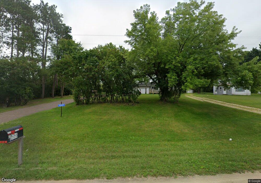
N36840 Us Highway 53 121 Whitehall, WI 54773
Estimated Value: $181,000 - $220,202
--
Bed
--
Bath
--
Sq Ft
0.62
Acres
About This Home
This home is located at N36840 Us Highway 53 121, Whitehall, WI 54773 and is currently estimated at $200,551. N36840 Us Highway 53 121 is a home with nearby schools including Whitehall Memorial Elementary School, Whitehall Memorial Jr./Sr. High School, and Fly Creek Amish School.
Ownership History
Date
Name
Owned For
Owner Type
Purchase Details
Closed on
Dec 2, 2011
Sold by
Solberg Tracy R and Solberg Korine M
Bought by
Solberg Shaun A
Current Estimated Value
Home Financials for this Owner
Home Financials are based on the most recent Mortgage that was taken out on this home.
Original Mortgage
$75,300
Outstanding Balance
$51,782
Interest Rate
4.12%
Mortgage Type
Purchase Money Mortgage
Estimated Equity
$148,769
Create a Home Valuation Report for This Property
The Home Valuation Report is an in-depth analysis detailing your home's value as well as a comparison with similar homes in the area
Home Values in the Area
Average Home Value in this Area
Purchase History
| Date | Buyer | Sale Price | Title Company |
|---|---|---|---|
| Solberg Shaun A | $75,000 | None Available |
Source: Public Records
Mortgage History
| Date | Status | Borrower | Loan Amount |
|---|---|---|---|
| Open | Solberg Shaun A | $75,300 |
Source: Public Records
Tax History Compared to Growth
Tax History
| Year | Tax Paid | Tax Assessment Tax Assessment Total Assessment is a certain percentage of the fair market value that is determined by local assessors to be the total taxable value of land and additions on the property. | Land | Improvement |
|---|---|---|---|---|
| 2024 | $2,407 | $151,500 | $11,400 | $140,100 |
| 2023 | $2,209 | $151,500 | $11,400 | $140,100 |
| 2022 | $1,963 | $151,500 | $11,400 | $140,100 |
| 2021 | $1,864 | $102,300 | $3,700 | $98,600 |
| 2020 | $2,238 | $13,560 | $3,700 | $9,860 |
| 2019 | $2,248 | $102,300 | $3,700 | $98,600 |
| 2018 | $1,864 | $102,300 | $3,700 | $98,600 |
| 2017 | $1,812 | $101,000 | $3,700 | $97,300 |
| 2016 | $1,793 | $101,000 | $3,700 | $97,300 |
| 2015 | $1,667 | $101,000 | $3,700 | $97,300 |
| 2014 | $1,660 | $101,000 | $3,700 | $97,300 |
| 2011 | $1,578 | $101,000 | $3,700 | $97,300 |
Source: Public Records
Map
Nearby Homes
- N36836 Us Highway 53 121
- 36290 Camp St
- 18144 Anderson St
- 18124 Fredrickson St
- 36015 Main St
- 18430 Hillside Dr
- N34855 County Rd S
- N34701 County Rd N
- N32838 Briten Rd
- 39971 Anderson St
- 39885 Winsand Dr
- 40257 Olson St
- W12198 County Road P
- XX Vold Rd
- N34701 County Rd S
- 517 W Broadway St
- 102 S Peterson Ave
- 328 S Urberg Ave
- 127 E Broadway St
- 612 E Broadway St
- N36824 Us Highway 53 121
- N36812 Us Highway 53 121
- n 36812 Us Highway 53 121
- N36831 U S 53
- N36952 Us Highway 53 121
- W16773 Brittani Ln
- N36952 U S 53
- N36952 Hwy 121 53
- N36954 Us Highway 53 121
- N36953 Hwy 53 121
- N36797 Us Highway 53 121
- N36772 Schansberg Rd
- W17257 O K Ln
- W17255 O K Ln
- W16853 Brittani Ln
- W17024 Meadowbrook Ln
- W17174 Meadowbrook Ln
- W17066 Meadowbrook Ln
- 17238 Meadowbrook Ln
- W17238 Meadowbrook Ln