N3776 Maple Grove Rd Weyauwega, WI 54983
Estimated Value: $488,000 - $662,000
4
Beds
--
Bath
1,488
Sq Ft
$375/Sq Ft
Est. Value
About This Home
This home is located at N3776 Maple Grove Rd, Weyauwega, WI 54983 and is currently estimated at $557,504, approximately $374 per square foot. N3776 Maple Grove Rd is a home located in Waupaca County with nearby schools including Waupaca Learning Center Elementary School, Waupaca Middle School, and Waupaca High School.
Ownership History
Date
Name
Owned For
Owner Type
Purchase Details
Closed on
Sep 24, 2018
Sold by
Williams Karin M
Bought by
Williams Trevor G
Current Estimated Value
Home Financials for this Owner
Home Financials are based on the most recent Mortgage that was taken out on this home.
Original Mortgage
$110,400
Outstanding Balance
$96,077
Interest Rate
4.5%
Mortgage Type
New Conventional
Estimated Equity
$461,427
Purchase Details
Closed on
Jun 13, 2008
Sold by
Williams Gerald G
Bought by
Williams Gerald G
Create a Home Valuation Report for This Property
The Home Valuation Report is an in-depth analysis detailing your home's value as well as a comparison with similar homes in the area
Home Values in the Area
Average Home Value in this Area
Purchase History
| Date | Buyer | Sale Price | Title Company |
|---|---|---|---|
| Williams Trevor G | $138,000 | None Available | |
| Williams Gerald G | -- | None Available |
Source: Public Records
Mortgage History
| Date | Status | Borrower | Loan Amount |
|---|---|---|---|
| Open | Williams Trevor G | $110,400 |
Source: Public Records
Tax History Compared to Growth
Tax History
| Year | Tax Paid | Tax Assessment Tax Assessment Total Assessment is a certain percentage of the fair market value that is determined by local assessors to be the total taxable value of land and additions on the property. | Land | Improvement |
|---|---|---|---|---|
| 2024 | $4,388 | $379,400 | $95,300 | $284,100 |
| 2023 | $4,388 | $243,600 | $54,700 | $188,900 |
| 2022 | $3,759 | $243,400 | $54,500 | $188,900 |
| 2021 | $3,960 | $243,100 | $54,200 | $188,900 |
| 2020 | $3,926 | $243,000 | $54,100 | $188,900 |
| 2019 | $3,997 | $243,000 | $54,100 | $188,900 |
| 2018 | $4,492 | $243,100 | $54,200 | $188,900 |
| 2017 | $4,545 | $242,900 | $54,000 | $188,900 |
| 2016 | $4,407 | $243,000 | $54,100 | $188,900 |
| 2015 | $4,623 | $243,000 | $54,100 | $188,900 |
| 2014 | $4,640 | $242,900 | $54,000 | $188,900 |
| 2013 | $4,640 | $242,900 | $54,000 | $188,900 |
Source: Public Records
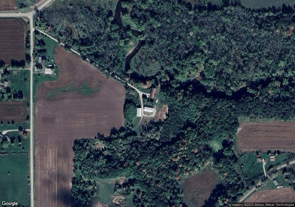
Map
Nearby Homes
- 0 State Highway 22 54
- 0 Handrich Rd
- E5698 Waukaunaka St
- 1927 Huffcutt Ln
- 1926 Huffcutt Ln
- 0 Commercial Dr Unit 50291246
- 0 Commercial Dr Unit 50312972
- 0 Commercial Dr Unit 50291198
- 0 Commercial Dr Unit 50312984
- 1545 Webster Way
- 0 Constance Rd Unit 20803051
- 0 Constance Rd Unit 50285836
- 0 Constance Rd Unit 20803050
- E4347 E Gate Dr
- 0 N Hill Rd Unit 20803046
- 0 N Hill Rd Unit 20803055
- 0 N Hill Rd Unit 20803057
- 0 Feathers Ct Unit 20803048
- 0 Runway Dr Unit 50291193
- 0 Runway Dr Unit 50256086
- N3627 N Military Rd
- N3762 Maple Grove Rd
- N3641 N Military Rd
- 3627 N Military Rd
- N3641 N Military Rd
- N3715 Maple Grove Rd
- N3757 Maple Grove Rd
- n 3648 N Military Rd
- N3648 N Military Rd
- N3668 N Military Rd
- 0 N Military Unit 50131599
- 0 N Military Unit 20902214
- 0 N Military Unit 50047188
- 0 N Military Unit 50053800
- 0 N Military Unit 50080942
- 0 N Military Unit 50081169
- N3618 N Military Rd
- E4650 County Road K
- 0 N Military Rd
- E4699 County Road K