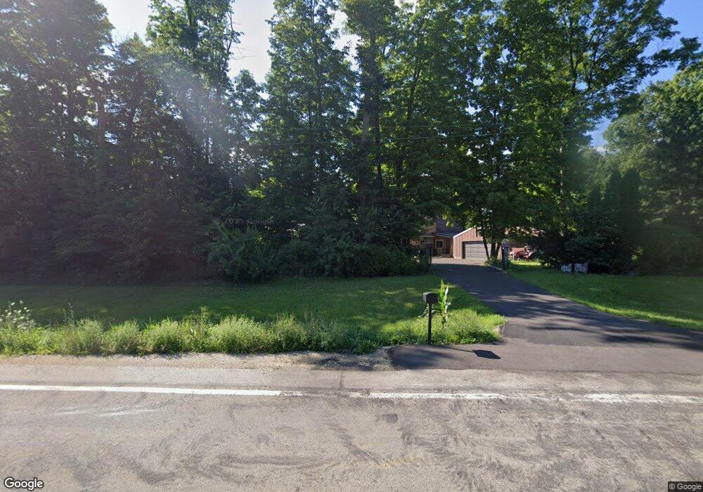
N3863 State Road 59 Monroe, WI 53566
Estimated Value: $459,000 - $530,404
Studio
--
Bath
--
Sq Ft
473,933
Sq Ft Lot
About This Home
This home is located at N3863 State Road 59, Monroe, WI 53566 and is currently estimated at $495,101. N3863 State Road 59 is a home located in Green County.
Ownership History
Date
Name
Owned For
Owner Type
Purchase Details
Closed on
Aug 24, 2007
Sold by
Steurer Randy K and Steurer Brenda L
Bought by
Comeau Katheleen D and Comeau Alan
Current Estimated Value
Home Financials for this Owner
Home Financials are based on the most recent Mortgage that was taken out on this home.
Original Mortgage
$159,600
Interest Rate
6.77%
Mortgage Type
New Conventional
Purchase Details
Closed on
Aug 4, 2005
Sold by
Devermann Sandra L
Bought by
Steurer Randy K and Steurer Brenda L
Home Financials for this Owner
Home Financials are based on the most recent Mortgage that was taken out on this home.
Original Mortgage
$168,000
Interest Rate
5.71%
Mortgage Type
New Conventional
Create a Home Valuation Report for This Property
The Home Valuation Report is an in-depth analysis detailing your home's value as well as a comparison with similar homes in the area
Purchase History
| Date | Buyer | Sale Price | Title Company |
|---|---|---|---|
| Comeau Katheleen D | $228,000 | None Available | |
| Steurer Randy K | $210,000 | None Available |
Source: Public Records
Mortgage History
| Date | Status | Borrower | Loan Amount |
|---|---|---|---|
| Closed | Comeau Katheleen D | $159,600 | |
| Previous Owner | Steurer Randy K | $168,000 |
Source: Public Records
Tax History
| Year | Tax Paid | Tax Assessment Tax Assessment Total Assessment is a certain percentage of the fair market value that is determined by local assessors to be the total taxable value of land and additions on the property. | Land | Improvement |
|---|---|---|---|---|
| 2025 | $4,582 | $251,200 | $65,500 | $185,700 |
| 2024 | $4,243 | $251,200 | $65,500 | $185,700 |
| 2023 | $4,507 | $251,200 | $65,500 | $185,700 |
| 2022 | $4,815 | $251,200 | $65,500 | $185,700 |
| 2021 | $4,060 | $251,200 | $65,500 | $185,700 |
| 2020 | $4,047 | $251,200 | $65,500 | $185,700 |
| 2019 | $3,871 | $251,200 | $65,500 | $185,700 |
| 2018 | $3,908 | $251,200 | $65,500 | $185,700 |
| 2017 | $4,240 | $240,500 | $47,300 | $193,200 |
| 2016 | $4,332 | $240,500 | $47,300 | $193,200 |
| 2014 | $3,885 | $240,500 | $47,300 | $193,200 |
Source: Public Records
Map
Nearby Homes
- N4077 Schrade Rd
- 12.10 Acres Deerfield Dr
- Lot 3 5 10 Acres Deerfield Dr
- Lot 9 7 00 Acres Deerfield Dr
- Lot 17 Pembridge Trail
- Lot 24 Ringhand Rd
- 5.24 Acres Ringhand Rd
- 10.45 Acres Ringhand Rd
- 5.21 Acres Ringhand Rd
- Lot 1 Monroe Sylvester Rd
- Lot 2 Monroe Sylvester Rd
- Lot 2 Monroe-Sylvester Rd
- Lot 8 Thunder Rd
- 150 +/- Acres County Road Dr
- Lot 3 Horizon Ct
- 444+/- Acres County Highway Dr
- Lot 40 Hidden Valley Rd
- N3523 View Point Dr
- 512 22nd Ave
- 2226 8th St
- N3904 State Road 59
- N3845 State Road 59
- N3802 State Road 59
- W3669 Sylvester Rd
- W3689 Sylvester Rd
- W3667 Sylvester Rd
- N3797 State Road 59
- W3653 Sylvester Rd
- W3704 Sylvester Rd
- N3774 State Road 59
- N3698 Hwy 59
- N3698 State Road 59
- N3992 Balls Mill Rd
- 13.5 ac Balls Mill Rd
- N/A Ringhand Rd
- Lot 10 Tindell Ln
- Lot 9 Tindell Ln
- Lot 8 Tindell Ln
- Lot 7 Tindell Ln
- Lot 5 Tindell Ln
Your Personal Tour Guide
Ask me questions while you tour the home.