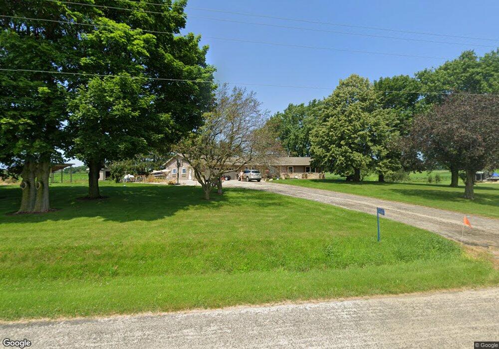
N3881 Level Valley Rd Hustisford, WI 53034
Estimated Value: $393,000 - $561,840
--
Bed
--
Bath
--
Sq Ft
5.82
Acres
About This Home
This home is located at N3881 Level Valley Rd, Hustisford, WI 53034 and is currently estimated at $512,710. N3881 Level Valley Rd is a home located in Dodge County with nearby schools including John Hustis Elementary School, Hustisford High School, and Bethany Lutheran School.
Ownership History
Date
Name
Owned For
Owner Type
Purchase Details
Closed on
Jun 18, 2018
Sold by
Wilmington Savings Fund Society Fsb
Bought by
Rinderle Sara M and Rinderle Joseph W
Current Estimated Value
Home Financials for this Owner
Home Financials are based on the most recent Mortgage that was taken out on this home.
Original Mortgage
$266,000
Outstanding Balance
$230,045
Interest Rate
4.5%
Mortgage Type
New Conventional
Estimated Equity
$282,665
Purchase Details
Closed on
Dec 8, 2017
Sold by
Dodge County Sheriff
Bought by
Wilmingston Savings Fund Society Fsb
Purchase Details
Closed on
Jun 18, 2007
Sold by
Bischoff David J and Bischoff Kathleen L
Bought by
Stigler Joel S and Stigler Lisa A
Home Financials for this Owner
Home Financials are based on the most recent Mortgage that was taken out on this home.
Original Mortgage
$240,300
Interest Rate
9.65%
Mortgage Type
Adjustable Rate Mortgage/ARM
Create a Home Valuation Report for This Property
The Home Valuation Report is an in-depth analysis detailing your home's value as well as a comparison with similar homes in the area
Home Values in the Area
Average Home Value in this Area
Purchase History
| Date | Buyer | Sale Price | Title Company |
|---|---|---|---|
| Rinderle Sara M | $280,000 | Mmrem Title Llc | |
| Wilmingston Savings Fund Society Fsb | -- | -- | |
| Stigler Joel S | $267,000 | None Available |
Source: Public Records
Mortgage History
| Date | Status | Borrower | Loan Amount |
|---|---|---|---|
| Open | Rinderle Sara M | $266,000 | |
| Previous Owner | Stigler Joel S | $240,300 |
Source: Public Records
Tax History Compared to Growth
Tax History
| Year | Tax Paid | Tax Assessment Tax Assessment Total Assessment is a certain percentage of the fair market value that is determined by local assessors to be the total taxable value of land and additions on the property. | Land | Improvement |
|---|---|---|---|---|
| 2024 | $4,752 | $282,100 | $46,900 | $235,200 |
| 2023 | $4,679 | $282,100 | $46,900 | $235,200 |
| 2022 | $4,958 | $282,200 | $47,000 | $235,200 |
| 2021 | $4,324 | $282,100 | $46,900 | $235,200 |
| 2020 | $4,641 | $282,200 | $47,000 | $235,200 |
| 2019 | $4,603 | $282,200 | $47,000 | $235,200 |
| 2018 | $3,989 | $225,600 | $46,900 | $178,700 |
| 2017 | $3,984 | $225,600 | $46,900 | $178,700 |
| 2016 | $3,847 | $225,600 | $46,900 | $178,700 |
| 2015 | $3,819 | $225,600 | $46,900 | $178,700 |
| 2014 | $3,984 | $222,100 | $46,900 | $175,200 |
Source: Public Records
Map
Nearby Homes
- 441 Sandy Ln
- 252 S Hustis St
- 244 S Ridge St
- .68 Acre Parcel Anthony Island
- 727 E Lakeview Rd Unit 8
- 827 E Lakeview Rd
- W4436 E Lakeview Rd
- N4557 Lakeview Rd
- N4510 & N4504 Anthony Island
- N4510 Anthony Island -
- N4554 Lakeview Rd
- N4569 Hazelwood Rd
- N4973 Lake Dr
- N4550 County Road Dj
- Lt38 Sinissippi Point Rd
- N5025 Arrowhead Ct
- W4747 County Road Me
- N3220 Hale Rd
- 000 Lt0 Sleepy Hollow Rd
- Lot 2 Sleepy Hollow
- N3785 Level Valley Rd
- N4575 Hwy E
- N3965 Level Valley Rd
- N3771 County Road R
- N3898 County Road R
- N3898 Hwy R
- N3752 County Road R
- 753 E Lakeview Rd
- Lot 8 Mark Ln
- Lot 6 Mark Ln
- Lt1 Lake Dr Unit Lake
- Lot 1 Lake Dr Lakeside Heights
- L24&25 S Czech Ct
- Lots 25 &2 S Czech Ct
- 6 Lots Mark Ln
- Lots 1,2 & Hazelwood Rd
- Lot 5 County Road E Lake Dr
- L24 & 25 S Czech Ct
- N3934 County Road R
- N3718 County Road R