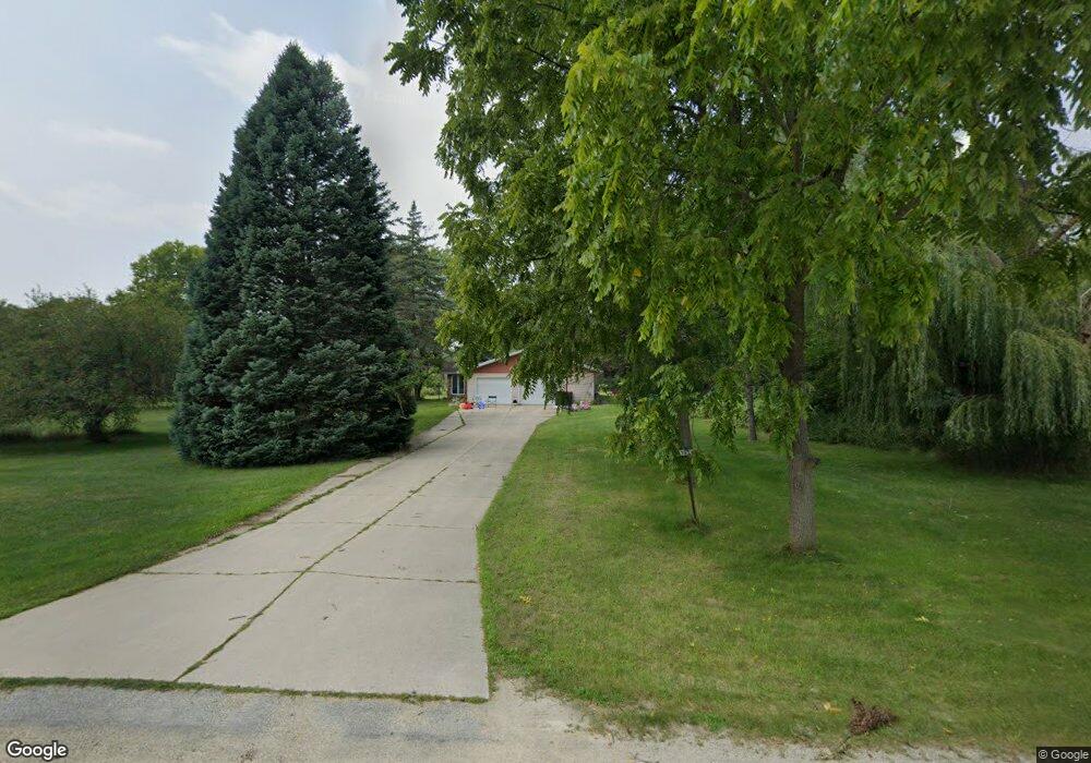
N3971 Brittany Ln Brodhead, WI 53520
Estimated Value: $358,000 - $437,000
3
Beds
2
Baths
1,850
Sq Ft
$208/Sq Ft
Est. Value
About This Home
This home is located at N3971 Brittany Ln, Brodhead, WI 53520 and is currently estimated at $385,219, approximately $208 per square foot. N3971 Brittany Ln is a home located in Green County with nearby schools including Ronald R. Albrecht Elementary School, Brodhead Middle School, and Brodhead High School.
Ownership History
Date
Name
Owned For
Owner Type
Purchase Details
Closed on
May 23, 2011
Sold by
Derendinger Dorothy V
Bought by
Meier John A and Meier Amy A
Current Estimated Value
Home Financials for this Owner
Home Financials are based on the most recent Mortgage that was taken out on this home.
Original Mortgage
$112,800
Outstanding Balance
$78,499
Interest Rate
4.91%
Mortgage Type
New Conventional
Estimated Equity
$306,720
Create a Home Valuation Report for This Property
The Home Valuation Report is an in-depth analysis detailing your home's value as well as a comparison with similar homes in the area
Home Values in the Area
Average Home Value in this Area
Purchase History
| Date | Buyer | Sale Price | Title Company |
|---|---|---|---|
| Meier John A | $141,000 | None Available |
Source: Public Records
Mortgage History
| Date | Status | Borrower | Loan Amount |
|---|---|---|---|
| Open | Meier John A | $112,800 |
Source: Public Records
Tax History Compared to Growth
Tax History
| Year | Tax Paid | Tax Assessment Tax Assessment Total Assessment is a certain percentage of the fair market value that is determined by local assessors to be the total taxable value of land and additions on the property. | Land | Improvement |
|---|---|---|---|---|
| 2024 | $3,463 | $270,500 | $62,200 | $208,300 |
| 2023 | $3,234 | $169,500 | $24,900 | $144,600 |
| 2022 | $3,109 | $169,500 | $24,900 | $144,600 |
| 2021 | $2,792 | $169,500 | $24,900 | $144,600 |
| 2020 | $2,764 | $169,500 | $24,900 | $144,600 |
| 2019 | $2,549 | $169,500 | $24,900 | $144,600 |
| 2018 | $2,520 | $169,500 | $24,900 | $144,600 |
| 2017 | $2,085 | $136,500 | $22,800 | $113,700 |
| 2016 | $2,191 | $136,500 | $22,800 | $113,700 |
| 2014 | $2,217 | $136,500 | $22,800 | $113,700 |
Source: Public Records
Map
Nearby Homes
- N4042 Brown Deer Dr
- N3952 Brown Deer Dr
- N4142 Eagle Dr
- L61 Country Club Dr
- W923 Cottage Rd
- N4140 Pine St Unit 1
- N3932 Park Rd
- 37+ Ac Decatur Rd
- N502 1st Center Ave
- Lot 2 2nd St
- 701 E 2nd Ave
- 605 E 4th Ave
- 207 8th St
- 1208 W 2nd Ave
- Lot 22 Orchid Ln
- W721 Ten Eyck Rd Unit 5R
- 1207 21st St
- N2751 County Road Gg
- 6 Acres 25th St
- N2741 & N2721 Highway 11
- N3989 Brittany Ln
- L151 Myrt Ln
- L152 Myrt Ln
- L15.2 Myrt Ln
- Lot 13 Myrt Ln
- N3947 Brittany Ln
- W593 Myrt Ln
- N3960 Brittany Ln
- N3967 Brittany Ln
- N3957 Brittany Ln
- N3929 Brittany Ln
- W571 Myrt Ln
- N3930 Brittany Ln
- N4010 Brittany Ln
- W574 Myrt Ln
- W557 Mary Ln Unit W559
- W562 Myrt Ln
- W630 Golf Course Rd
- N3908 Brittany Ln
- 0 Myrt Ln Unit 1711507