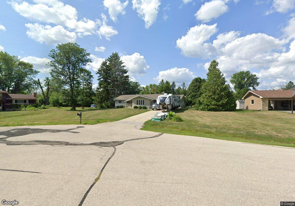
N39W22886 Brookside Ct Pewaukee, WI 53072
Estimated Value: $443,000 - $570,000
--
Bed
--
Bath
--
Sq Ft
0.56
Acres
About This Home
This home is located at N39W22886 Brookside Ct, Pewaukee, WI 53072 and is currently estimated at $502,571. N39W22886 Brookside Ct is a home located in Waukesha County with nearby schools including Pewaukee Lake Elementary School, Asa Clark Middle School, and Pewaukee High School.
Ownership History
Date
Name
Owned For
Owner Type
Purchase Details
Closed on
May 26, 2006
Sold by
Wiggins Oliver H and Wiggins Dorothy R
Bought by
Mccarthy Cris and Mccarthy Kerri
Current Estimated Value
Home Financials for this Owner
Home Financials are based on the most recent Mortgage that was taken out on this home.
Original Mortgage
$169,960
Outstanding Balance
$100,202
Interest Rate
6.62%
Mortgage Type
Fannie Mae Freddie Mac
Estimated Equity
$402,369
Create a Home Valuation Report for This Property
The Home Valuation Report is an in-depth analysis detailing your home's value as well as a comparison with similar homes in the area
Home Values in the Area
Average Home Value in this Area
Purchase History
| Date | Buyer | Sale Price | Title Company |
|---|---|---|---|
| Mccarthy Cris | $212,500 | None Available |
Source: Public Records
Mortgage History
| Date | Status | Borrower | Loan Amount |
|---|---|---|---|
| Open | Mccarthy Cris | $169,960 |
Source: Public Records
Tax History Compared to Growth
Tax History
| Year | Tax Paid | Tax Assessment Tax Assessment Total Assessment is a certain percentage of the fair market value that is determined by local assessors to be the total taxable value of land and additions on the property. | Land | Improvement |
|---|---|---|---|---|
| 2024 | $3,527 | $285,500 | $101,800 | $183,700 |
| 2023 | $3,492 | $285,500 | $101,800 | $183,700 |
| 2022 | $3,582 | $285,500 | $101,800 | $183,700 |
| 2021 | $3,552 | $285,500 | $101,800 | $183,700 |
| 2020 | $3,277 | $209,500 | $79,900 | $129,600 |
| 2019 | $3,173 | $209,500 | $79,900 | $129,600 |
| 2018 | $3,067 | $209,500 | $79,900 | $129,600 |
| 2017 | $3,072 | $209,500 | $79,900 | $129,600 |
| 2016 | $3,185 | $209,500 | $79,900 | $129,600 |
| 2015 | $2,954 | $209,500 | $79,900 | $129,600 |
| 2014 | $3,223 | $209,500 | $79,900 | $129,600 |
| 2013 | $3,223 | $209,500 | $79,900 | $129,600 |
Source: Public Records
Map
Nearby Homes
- W229N3655 Sterling Ct
- N45W22742 Charlotte Way
- N35W23690 Auburn Ct Unit 13-1
- N46W22811 Lindsay Rd
- N32W23360 Fieldside Rd
- N35W23701 Auburn Ct Unit 1
- W222N4700 Seven Oaks Dr
- W220N4551 Timber Dr
- W232N3043 Emerald Ln Unit A
- W220N4599 Timber Dr
- W220N4600 Timber Dr
- W220N4606 Timber Dr
- N34W23849 Grace Ave Unit C
- W238N4620 Woods Edge Dr
- 21445 Gumina Rd
- N31W22134 Green Rd
- W222N2872 Timberwood Ct
- 1356 Greenhedge Rd Unit C1
- 1356 Greenhedge Rd Unit C7
- 7034 Stonewood Ln
- N39W22861 Brookside Ct
- N39W22940 Brookside Ct
- N39W22969 Sunset Dr
- W228N3983 Crescent Dr
- W228N3977 Crescent Dr
- W229N4015 Sunset Dr
- N39W22898 Brookside Ct
- N39W22885 Brookside Ct
- W228N3925 Crescent Dr
- W228N3952 Crescent Dr
- W228N3986 Crescent Dr
- W228N4009 Crescent Dr
- W229N4032 Sunset Dr
- W228N3916 Crescent Dr
- W228N3895 Crescent Dr
- W228N4048 Sunset Dr
- W228N4043 Crescent Dr
- W229N4019 Sunset Dr
- W228N4014 Crescent Dr
- W229N4011 Sunset Dr