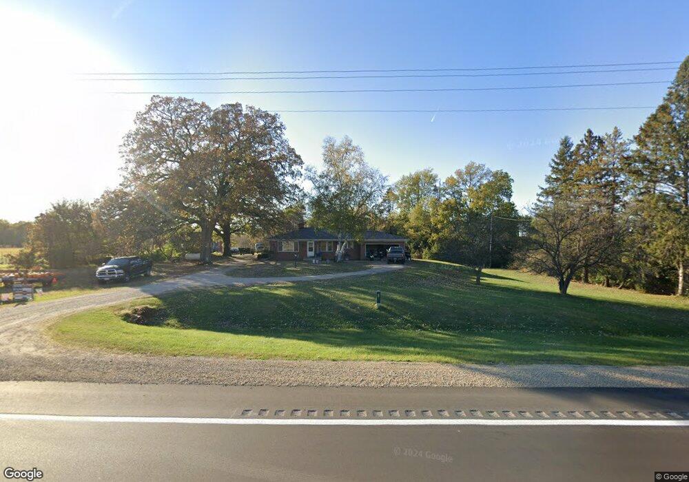
N4067 Us Highway 51 Poynette, WI 53955
Estimated Value: $478,000 - $620,000
--
Bed
--
Bath
--
Sq Ft
15.41
Acres
About This Home
This home is located at N4067 Us Highway 51, Poynette, WI 53955 and is currently estimated at $526,456. N4067 Us Highway 51 is a home located in Columbia County with nearby schools including Poynette Elementary School, Poynette Middle School, and Poynette High School.
Ownership History
Date
Name
Owned For
Owner Type
Purchase Details
Closed on
Feb 9, 2023
Sold by
Estate Of Kenneth Anderson
Bought by
Schultz Michael James and Schultz Kari Lee
Current Estimated Value
Purchase Details
Closed on
Mar 4, 2021
Sold by
Anderson Golda M
Bought by
Anderson Kenneth
Home Financials for this Owner
Home Financials are based on the most recent Mortgage that was taken out on this home.
Interest Rate
3.02%
Create a Home Valuation Report for This Property
The Home Valuation Report is an in-depth analysis detailing your home's value as well as a comparison with similar homes in the area
Home Values in the Area
Average Home Value in this Area
Purchase History
| Date | Buyer | Sale Price | Title Company |
|---|---|---|---|
| Schultz Michael James | $237,500 | Attorney Thomas G. Cullen, Att | |
| Anderson Kenneth | $237,500 | Attorney Thomas G. Cullen, Att | |
| Anderson Kenneth | $214,000 | -- |
Source: Public Records
Mortgage History
| Date | Status | Borrower | Loan Amount |
|---|---|---|---|
| Previous Owner | Anderson Kenneth | -- |
Source: Public Records
Tax History Compared to Growth
Tax History
| Year | Tax Paid | Tax Assessment Tax Assessment Total Assessment is a certain percentage of the fair market value that is determined by local assessors to be the total taxable value of land and additions on the property. | Land | Improvement |
|---|---|---|---|---|
| 2024 | $4,105 | $356,200 | $114,800 | $241,400 |
| 2023 | $3,958 | $237,500 | $112,200 | $125,300 |
| 2022 | $3,738 | $237,500 | $112,200 | $125,300 |
| 2021 | $3,459 | $237,500 | $112,200 | $125,300 |
| 2020 | $3,656 | $213,700 | $94,800 | $118,900 |
| 2019 | $3,759 | $213,700 | $94,800 | $118,900 |
| 2018 | $3,578 | $213,700 | $94,800 | $118,900 |
| 2017 | $3,334 | $213,700 | $94,800 | $118,900 |
| 2016 | $3,301 | $213,700 | $94,800 | $118,900 |
| 2015 | $3,235 | $213,700 | $94,800 | $118,900 |
| 2014 | $3,475 | $213,700 | $94,800 | $118,900 |
Source: Public Records
Map
Nearby Homes
- N4067 Us Highway 51
- N4155 Us Highway 51
- N4173 Us Highway 51
- W7995 Drake Rd
- W7941 Waugh Rd
- W7973 Waugh Rd
- W7979 Waugh Rd
- N5318 Us Highway 51
- W7988 Drake Rd
- W7962 Drake Rd
- W7937 Waugh Rd
- W8076 Thompson Rd
- W8004 Drake Rd
- W7930 Waugh Rd
- W7922 Drake Rd
- W8194 Thompson Rd
- W7817 Drake Rd
- 0 Thompson Rd Unit 1712644
- N4344 Us Highway 51
- W7824 Drake Rd