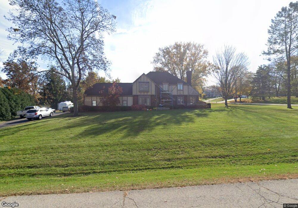
N41W27469 Patricia Ln Pewaukee, WI 53072
Estimated Value: $364,000 - $851,000
--
Bed
--
Bath
--
Sq Ft
0.92
Acres
About This Home
This home is located at N41W27469 Patricia Ln, Pewaukee, WI 53072 and is currently estimated at $578,777. N41W27469 Patricia Ln is a home located in Waukesha County with nearby schools including Pewaukee Lake Elementary School, Asa Clark Middle School, and Pewaukee High School.
Ownership History
Date
Name
Owned For
Owner Type
Purchase Details
Closed on
Sep 1, 2005
Sold by
Vanstraten Jeffrey J and Vanstraten Van Straten
Bought by
Waltz Brent R and Waltz Karen M
Current Estimated Value
Home Financials for this Owner
Home Financials are based on the most recent Mortgage that was taken out on this home.
Original Mortgage
$238,400
Interest Rate
5.93%
Mortgage Type
Fannie Mae Freddie Mac
Purchase Details
Closed on
Aug 9, 2004
Sold by
Lehrke Don Walter
Bought by
Vanstraten Jeffrey J and Vanstraten Kathleen M
Home Financials for this Owner
Home Financials are based on the most recent Mortgage that was taken out on this home.
Original Mortgage
$230,700
Interest Rate
3.37%
Mortgage Type
Purchase Money Mortgage
Purchase Details
Closed on
Feb 5, 1998
Sold by
Lerch Patricia Ann and Lehrke Patricia Ann
Bought by
Lehrke Don Walter and Lehrke Walter E
Create a Home Valuation Report for This Property
The Home Valuation Report is an in-depth analysis detailing your home's value as well as a comparison with similar homes in the area
Home Values in the Area
Average Home Value in this Area
Purchase History
| Date | Buyer | Sale Price | Title Company |
|---|---|---|---|
| Waltz Brent R | $298,000 | -- | |
| Vanstraten Jeffrey J | $243,000 | -- | |
| Lehrke Don Walter | $20,000 | -- |
Source: Public Records
Mortgage History
| Date | Status | Borrower | Loan Amount |
|---|---|---|---|
| Closed | Waltz Brent R | $238,400 | |
| Previous Owner | Vanstraten Jeffrey J | $230,700 |
Source: Public Records
Tax History Compared to Growth
Tax History
| Year | Tax Paid | Tax Assessment Tax Assessment Total Assessment is a certain percentage of the fair market value that is determined by local assessors to be the total taxable value of land and additions on the property. | Land | Improvement |
|---|---|---|---|---|
| 2024 | $3,831 | $310,800 | $108,800 | $202,000 |
| 2023 | $3,797 | $310,800 | $108,800 | $202,000 |
| 2022 | $3,898 | $310,800 | $108,800 | $202,000 |
| 2021 | $3,868 | $310,800 | $108,800 | $202,000 |
| 2020 | $4,179 | $268,300 | $90,400 | $177,900 |
| 2019 | $4,057 | $268,300 | $90,400 | $177,900 |
| 2018 | $3,916 | $268,300 | $90,400 | $177,900 |
| 2017 | $3,912 | $268,300 | $90,400 | $177,900 |
| 2016 | $4,056 | $268,300 | $90,400 | $177,900 |
| 2015 | $4,119 | $268,300 | $90,400 | $177,900 |
| 2014 | $4,185 | $268,300 | $90,400 | $177,900 |
| 2013 | $4,185 | $268,300 | $90,400 | $177,900 |
Source: Public Records
Map
Nearby Homes
- 1083 Quinlan Dr Unit C
- 827 Quinlan Dr Unit H
- 823 Quinlan Dr Unit H
- 823 Quinlan Dr Unit E
- W282N4163 Somerset Ln
- 327 Sandy Cir
- 450 Sandy Cir
- 394 Sandy Cir
- N59W25898 Amberwood Ct
- 411 Sandy Cir
- N35W28682 Old North Shore Dr
- Lt16 Lakeside Ridge Ct
- W278N2920 Oak St
- 339 Park Hill Dr Unit H
- N28W26972 Woodland Dr
- 368 Park Hill Dr Unit H
- N44W25902 Lindsay Rd
- 1800 E Juniper Way
- 285 Cardinal Ridge Dr Unit 285
- N28W26587 Miami Dr
- N41W27363 Patricia Ln
- N41W27424 Patricia Ln
- N41W27458 Patricia Ln
- N41W27475 Patricia Ln
- W274N4118 Shari Dr
- N41W27370 Roger Rd
- W274N4117 Shari Dr
- N41W27372 Patricia Ln
- N41W27476 Patricia Ln
- N41W27361 Hickory Grove Dr
- N41W27378 Roger Rd
- N41W27350 Patricia Ln
- W274N4255 Clara Ct
- N41W27360 Roger Rd
- W274N4105 Shari Dr
- N41W27481 Patricia Ln
- W275N4036 Ishnala Trail
- W274N4237 Clara Ct
- N41W27373 Roger Rd
- W273N4190 Hickory Grove Dr