N4211 20th Ct Montello, WI 53949
Estimated Value: $284,000 - $520,000
--
Bed
--
Bath
--
Sq Ft
2.15
Acres
About This Home
This home is located at N4211 20th Ct, Montello, WI 53949 and is currently estimated at $427,993. N4211 20th Ct is a home with nearby schools including Forest Lane Community School and Montello Junior/Senior High School.
Ownership History
Date
Name
Owned For
Owner Type
Purchase Details
Closed on
Nov 18, 2011
Sold by
Guthrie Cynthia
Bought by
Stelter James and Stelter Heidi
Current Estimated Value
Purchase Details
Closed on
Nov 10, 2011
Sold by
Nelson Janice L
Bought by
Stelter James and Stelter Heidi
Purchase Details
Closed on
Jul 19, 2005
Sold by
Fredrick Edwin W and Fredrick Marlene
Bought by
Fredrick V Lloyd and Fredrick Harriet J
Create a Home Valuation Report for This Property
The Home Valuation Report is an in-depth analysis detailing your home's value as well as a comparison with similar homes in the area
Home Values in the Area
Average Home Value in this Area
Purchase History
| Date | Buyer | Sale Price | Title Company |
|---|---|---|---|
| Stelter James | $299,900 | -- | |
| Stelter James | $299,900 | -- | |
| Fredrick V Lloyd | $3,000 | -- |
Source: Public Records
Mortgage History
| Date | Status | Borrower | Loan Amount |
|---|---|---|---|
| Closed | Fredrick V Lloyd | $0 |
Source: Public Records
Tax History Compared to Growth
Tax History
| Year | Tax Paid | Tax Assessment Tax Assessment Total Assessment is a certain percentage of the fair market value that is determined by local assessors to be the total taxable value of land and additions on the property. | Land | Improvement |
|---|---|---|---|---|
| 2024 | $4,691 | $279,500 | $17,900 | $261,600 |
| 2023 | $4,579 | $279,500 | $17,900 | $261,600 |
| 2022 | $4,230 | $279,500 | $17,900 | $261,600 |
| 2021 | $4,042 | $279,500 | $17,900 | $261,600 |
| 2020 | $4,520 | $279,500 | $17,900 | $261,600 |
| 2019 | $4,597 | $279,500 | $17,900 | $261,600 |
| 2018 | $4,784 | $279,500 | $17,900 | $261,600 |
| 2017 | $4,832 | $279,500 | $17,900 | $261,600 |
| 2016 | $4,983 | $279,500 | $17,900 | $261,600 |
| 2015 | $516,478 | $279,500 | $17,900 | $261,600 |
| 2014 | -- | $279,500 | $17,900 | $261,600 |
| 2013 | -- | $279,500 | $17,900 | $261,600 |
| 2012 | -- | $302,000 | $17,400 | $284,600 |
Source: Public Records
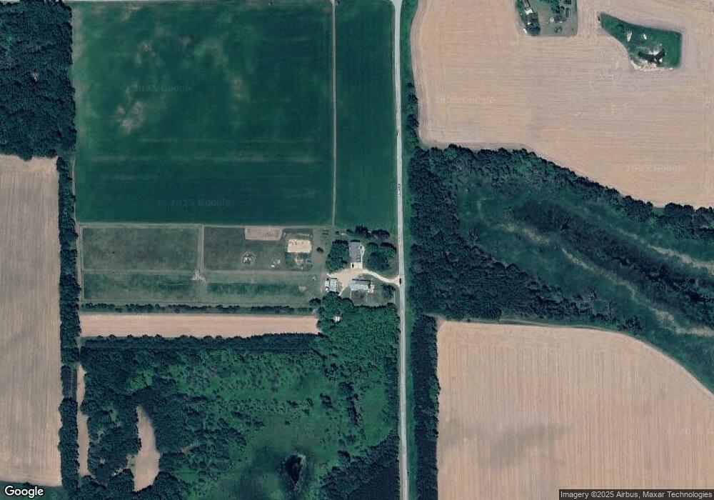
Map
Nearby Homes
- 71 Deerpath Dr
- Lot 53 Eagle Cir
- Lot 35 Peacock Ln
- Lot 59 Fern Ave
- Lot 47 Fern Ave
- Lot 81 19th Ave
- 111 Acres
- W1010 Laurie Ln
- W1002 Laurie Ln
- N5101 Lueck Ln
- W656 Fox Ct
- W6191 Lueck Ln
- N3571 21st Dr
- N3531 Blue Gill Dr
- 0 Moccasin Trail
- W505 Huron Bay Dr
- N3571 E Tomahawk Trail
- N3540 Myra Ln
- N3546 Myra Ln
- W151 N Shore Dr
- W1159 Fern Dr
- 0 Town Hall Rd Unit 1736508
- W1325 Fern Dr
- W1055 Fern Dr
- N4428 Town Hall Rd
- N4355 Town Hall Rd
- W1002 Fish Ave
- N4436 Town Hall Rd
- N4486 Town Hall Rd
- W950 Fern Dr Unit W952
- N4245 19th Ct
- N3891 20th Ct
- N3902 19th Ct
- N3902 19th Ct
- N4283 19th Ct
- Lt66 Deerpath Dr
- Lot 66 Deerpath Dr
- L63 & 64 Deerpath Dr
- W1521 Deer Path Dr
- N4193 19th Ct