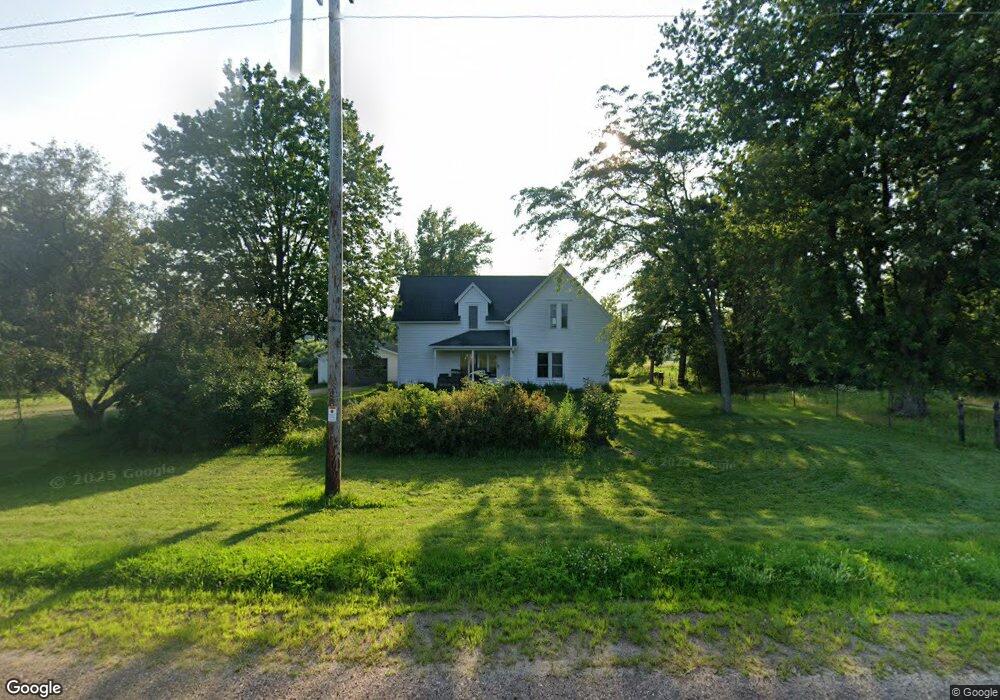
N4245 Us Highway 12 Humbird, WI 54746
Estimated Value: $239,995 - $322,000
3
Beds
2
Baths
2,080
Sq Ft
$138/Sq Ft
Est. Value
About This Home
This home is located at N4245 Us Highway 12, Humbird, WI 54746 and is currently estimated at $286,249, approximately $137 per square foot. N4245 Us Highway 12 is a home located in Clark County with nearby schools including Lincoln Elementary School and Lincoln Junior/Senior High School.
Ownership History
Date
Name
Owned For
Owner Type
Purchase Details
Closed on
Aug 20, 2018
Sold by
Thurmond Carl R
Bought by
Cernohous Leanna L
Current Estimated Value
Home Financials for this Owner
Home Financials are based on the most recent Mortgage that was taken out on this home.
Original Mortgage
$128,250
Outstanding Balance
$111,983
Interest Rate
4.75%
Mortgage Type
New Conventional
Estimated Equity
$174,266
Purchase Details
Closed on
Apr 27, 2017
Sold by
Lambrecht Drew C and Lambrecht Cathy A
Bought by
Thurmond Carl R
Home Financials for this Owner
Home Financials are based on the most recent Mortgage that was taken out on this home.
Original Mortgage
$121,500
Interest Rate
4.14%
Mortgage Type
New Conventional
Create a Home Valuation Report for This Property
The Home Valuation Report is an in-depth analysis detailing your home's value as well as a comparison with similar homes in the area
Home Values in the Area
Average Home Value in this Area
Purchase History
| Date | Buyer | Sale Price | Title Company |
|---|---|---|---|
| Cernohous Leanna L | $135,000 | Black River Country Abstract | |
| Thurmond Carl R | $135,000 | River Valley Title Group Llc |
Source: Public Records
Mortgage History
| Date | Status | Borrower | Loan Amount |
|---|---|---|---|
| Open | Cernohous Leanna L | $128,250 | |
| Previous Owner | Thurmond Carl R | $121,500 |
Source: Public Records
Tax History Compared to Growth
Tax History
| Year | Tax Paid | Tax Assessment Tax Assessment Total Assessment is a certain percentage of the fair market value that is determined by local assessors to be the total taxable value of land and additions on the property. | Land | Improvement |
|---|---|---|---|---|
| 2024 | $2,336 | $136,900 | $16,600 | $120,300 |
| 2023 | $2,243 | $136,900 | $16,600 | $120,300 |
| 2022 | $2,408 | $136,900 | $16,600 | $120,300 |
| 2021 | $2,170 | $136,900 | $16,600 | $120,300 |
| 2020 | $2,396 | $113,200 | $17,500 | $95,700 |
| 2019 | $2,239 | $113,200 | $17,500 | $95,700 |
| 2018 | $2,283 | $113,200 | $17,500 | $95,700 |
| 2017 | $381 | $113,200 | $17,500 | $95,700 |
| 2016 | $2,312 | $113,200 | $17,500 | $95,700 |
| 2015 | -- | $113,200 | $17,500 | $95,700 |
| 2014 | -- | $113,200 | $17,500 | $95,700 |
| 2013 | -- | $113,200 | $17,500 | $95,700 |
| 2011 | -- | $113,200 | $17,500 | $95,700 |
Source: Public Records
Map
Nearby Homes
- 218 E Main St
- W11421 Alderman St
- 0 Walkers Rd
- Cty Rd B
- 000 Oak Dr
- 0 Elker Rd
- +/- 13 Acres County B Monthei Rd
- 000 Us Highway 10
- 0 Elker Rd
- N14253 McGower Rd
- Tbd Crossover Rd
- 002 Old Highway 10
- 001 Old Highway 10
- Tbd Hwy 12 27
- TBD State Highway 12 27
- 000 Old Highway 10
- W14702 Old Highway 10
- 14707 Old Highway 10
- TBD N Center Rd
- E23745 Gerth Rd
- N4245 U S 12
- W11884 Fairview Rd
- N4398 Us Highway 12
- N4398 Us Hwy 12
- N4398 Us Highway 12
- N4398 Us Highway 12
- W11971 Fairview Ave
- W11971 Fairview Rd
- w 11971 Fairview Rd
- N4424 Us Highway 12
- N4424 U S 12
- N13780 Fairview Rd
- N13743 Fairview Rd
- W11678 Fairview Rd
- xxx Us Hwy 10 West Bluff Rd
- N4502 Bluff Rd W
- N13830 Fairview Rd
- 13830 Fairview Rd
- N13823 Fairview Rd
- W12239 E Lange Rd