N436 Debruin Rd Kaukauna, WI 54130
Estimated Value: $440,250 - $618,000
--
Bed
--
Bath
--
Sq Ft
5
Acres
About This Home
This home is located at N436 Debruin Rd, Kaukauna, WI 54130 and is currently estimated at $497,313. N436 Debruin Rd is a home located in Outagamie County with nearby schools including River View School, Kaukauna High School, and New Directions Learning Community.
Ownership History
Date
Name
Owned For
Owner Type
Purchase Details
Closed on
Aug 19, 2024
Sold by
Marie M Van Handel Revocable Trust
Bought by
Vanhandel Daniel M and Vanhandel Van Handel
Current Estimated Value
Purchase Details
Closed on
Feb 17, 2022
Sold by
Jacob Vanhandel Roger
Bought by
Vanhandel Marie M
Purchase Details
Closed on
Feb 15, 2022
Sold by
Vanhandel Marie M
Bought by
Marie M Van Handel Revocable T
Create a Home Valuation Report for This Property
The Home Valuation Report is an in-depth analysis detailing your home's value as well as a comparison with similar homes in the area
Home Values in the Area
Average Home Value in this Area
Purchase History
| Date | Buyer | Sale Price | Title Company |
|---|---|---|---|
| Vanhandel Daniel M | $411,000 | First American Title Insurance | |
| Vanhandel Marie M | -- | -- | |
| Marie M Van Handel Revocable T | -- | Menn Law Firm Ltd | |
| Marie M Van Handel Revocable Trust | -- | Menn Law Firm Ltd | |
| Marie M Van Handel Revocable Trust | -- | Menn Law Firm Ltd |
Source: Public Records
Tax History Compared to Growth
Tax History
| Year | Tax Paid | Tax Assessment Tax Assessment Total Assessment is a certain percentage of the fair market value that is determined by local assessors to be the total taxable value of land and additions on the property. | Land | Improvement |
|---|---|---|---|---|
| 2024 | $5,017 | $408,300 | $113,000 | $295,300 |
| 2023 | $4,072 | $356,400 | $91,100 | $265,300 |
| 2022 | $4,076 | $329,900 | $91,100 | $238,800 |
| 2021 | $4,255 | $281,700 | $70,200 | $211,500 |
| 2020 | $4,392 | $262,400 | $70,200 | $192,200 |
| 2019 | $4,177 | $243,100 | $70,200 | $172,900 |
| 2018 | $3,846 | $223,600 | $70,200 | $153,400 |
| 2017 | $4,031 | $220,700 | $70,000 | $150,700 |
| 2016 | $3,914 | $220,700 | $70,000 | $150,700 |
| 2015 | $3,868 | $220,700 | $70,000 | $150,700 |
| 2014 | $3,858 | $220,700 | $70,000 | $150,700 |
| 2013 | $3,839 | $220,700 | $70,000 | $150,700 |
Source: Public Records
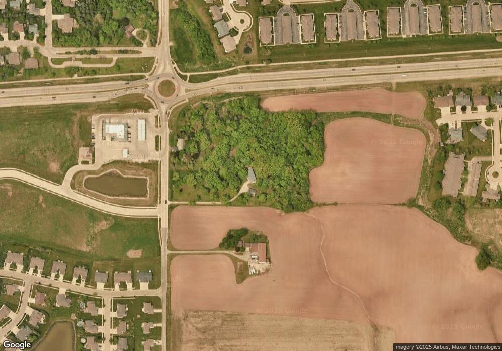
Map
Nearby Homes
- 1207 Saunders Rd
- 607 Debruin Rd
- 708 Westfield St
- 592 Cornrow Ln
- 580 W Henry St
- W2286 Valleywood Ln
- 3005 Crooks Ave
- 412 Buchanan Rd
- W2313 Saint Germaine Ct
- 435 Roger St
- 107 Lamine Ln
- 2205 Welhouse Dr
- W2512 Buchanan Rd
- 1601 Main Ave
- W5318 Amy Ave
- 216 E 17th St
- 304 E 17th St
- 445 Riverview Ridge Place
- 387 Riverview Ridge Place
- 431 Riverview Ridge Place
- N458 Debruin Rd
- 0 Debruin Rd Unit 50085953
- 0 Debruin Rd Unit 50219374
- 0 Debruin Rd Unit 50038947
- N414 Debruin Rd
- 0 Debruin Rd
- 500 Coonen Dr
- 504 Coonen Dr
- 601 Debruin Rd
- 1343 Moon Ridge Ct
- 510 Coonen Dr
- 645 Arnie St
- 603 Debruin Rd
- 11 Green Way Dr
- 1323 Moon Ridge Ct
- 512 Coonen Dr
- 1310 Moon Ridge Ct
- 1341 Moon Ridge Ct
- 1346 Moon Ridge Ct
- 1321 Moon Ridge Ct