N4371 19th Ave Mauston, WI 53948
Estimated Value: $324,000 - $454,000
--
Bed
--
Bath
--
Sq Ft
25
Acres
About This Home
This home is located at N4371 19th Ave, Mauston, WI 53948 and is currently estimated at $382,863. N4371 19th Ave is a home located in Juneau County with nearby schools including West Side Elementary School, Lyndon Station Elementary School, and Grayside Elementary School.
Ownership History
Date
Name
Owned For
Owner Type
Purchase Details
Closed on
Feb 23, 2024
Sold by
Butler Estate James E
Bought by
Butler Sara Y
Current Estimated Value
Create a Home Valuation Report for This Property
The Home Valuation Report is an in-depth analysis detailing your home's value as well as a comparison with similar homes in the area
Home Values in the Area
Average Home Value in this Area
Purchase History
| Date | Buyer | Sale Price | Title Company |
|---|---|---|---|
| Butler Sara Y | $169,800 | Attorney Laura L. Colt |
Source: Public Records
Tax History Compared to Growth
Tax History
| Year | Tax Paid | Tax Assessment Tax Assessment Total Assessment is a certain percentage of the fair market value that is determined by local assessors to be the total taxable value of land and additions on the property. | Land | Improvement |
|---|---|---|---|---|
| 2024 | $3,866 | $170,100 | $29,400 | $140,700 |
| 2023 | $3,175 | $169,800 | $29,100 | $140,700 |
| 2022 | $2,879 | $169,500 | $28,800 | $140,700 |
| 2021 | $2,865 | $169,300 | $28,600 | $140,700 |
| 2020 | $3,048 | $169,200 | $28,500 | $140,700 |
| 2019 | $2,916 | $169,100 | $28,400 | $140,700 |
| 2018 | $2,934 | $169,100 | $28,400 | $140,700 |
| 2017 | $2,685 | $165,700 | $27,600 | $138,100 |
| 2016 | $2,666 | $165,700 | $27,600 | $138,100 |
| 2015 | $3,155 | $165,700 | $27,600 | $138,100 |
| 2014 | $2,723 | $165,300 | $27,200 | $138,100 |
| 2013 | $2,807 | $165,300 | $27,200 | $138,100 |
Source: Public Records
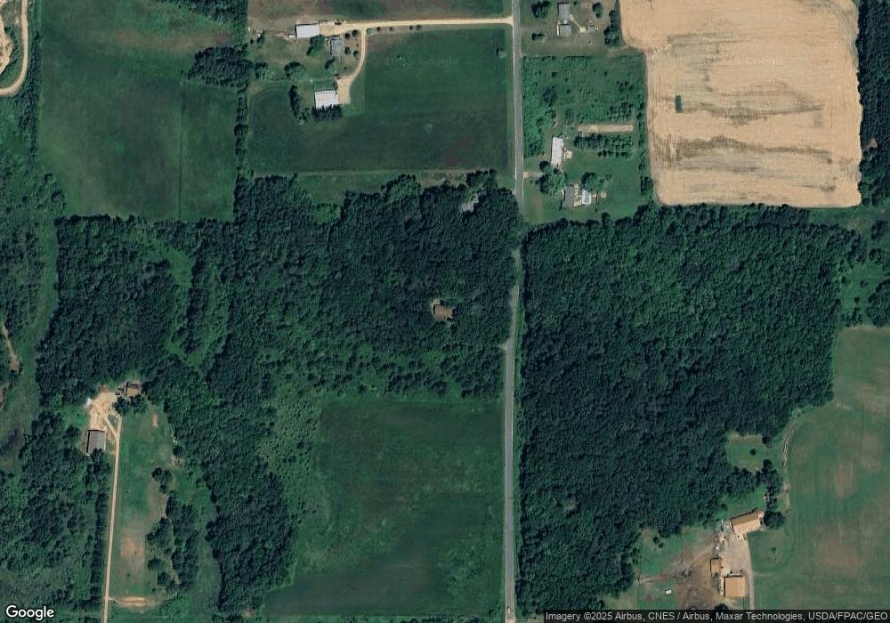
Map
Nearby Homes
- W4706 51st St
- 5.12 Ac College Ave
- 4138 W County Rd N Rd
- Lot 24 Cemetery Rd
- 825 E State St
- 809 E State St
- 0.3 acres Lincoln St
- 0.53 acres Prospect Ave
- 80.41 Acres 22nd Ave
- 1.6 acres Prospect and Lincoln St
- 712 La Crosse St
- 12.35 AC Highway 58 Trunk
- 511 Pine St
- 333 S Hickory St
- 813 S Hickory St
- 314 W State St
- 0 Fleet St Unit 1978417
- 314 W St
- 1001 Elm St
- 506 W State St
- N4397 19th Ave
- N4412 19th Ave
- N4429 19th Ave
- N4428 19th Ave
- W4934 State Road 82 E
- W4934 Hwy 82
- W4784 State Road 82 E
- W4881 State Road 82 E
- W4853 State Road 82 E
- N4481 19th Ave
- W4791 State Road 82 E
- 6.11 Ac Hwy 82
- L1 State Route 82 E
- 0 51st St Unit 1554697
- 0 51st St Unit 1557781
- 0 51st St Unit 1601531
- 0 51st St Unit 1676819
- 0 51st St Unit 1702038
- 0 51st St Unit 1702037
- w 4789 51st St