N4393 1130th St Prescott, WI 54021
Estimated Value: $512,000 - $1,124,685
--
Bed
--
Bath
--
Sq Ft
7.19
Acres
About This Home
This home is located at N4393 1130th St, Prescott, WI 54021 and is currently estimated at $893,895. N4393 1130th St is a home located in Pierce County with nearby schools including Malone Elementary School, Prescott Middle School, and Prescott High School.
Ownership History
Date
Name
Owned For
Owner Type
Purchase Details
Closed on
Mar 7, 2006
Sold by
Trumpter Development Company Llc
Bought by
Lewis Kenneth W and Lewis Diane L
Current Estimated Value
Home Financials for this Owner
Home Financials are based on the most recent Mortgage that was taken out on this home.
Original Mortgage
$265,500
Interest Rate
6.34%
Mortgage Type
Purchase Money Mortgage
Create a Home Valuation Report for This Property
The Home Valuation Report is an in-depth analysis detailing your home's value as well as a comparison with similar homes in the area
Home Values in the Area
Average Home Value in this Area
Purchase History
| Date | Buyer | Sale Price | Title Company |
|---|---|---|---|
| Lewis Kenneth W | -- | None Available |
Source: Public Records
Mortgage History
| Date | Status | Borrower | Loan Amount |
|---|---|---|---|
| Previous Owner | Lewis Kenneth W | $265,500 |
Source: Public Records
Tax History Compared to Growth
Tax History
| Year | Tax Paid | Tax Assessment Tax Assessment Total Assessment is a certain percentage of the fair market value that is determined by local assessors to be the total taxable value of land and additions on the property. | Land | Improvement |
|---|---|---|---|---|
| 2024 | $15,752 | $1,031,700 | $288,300 | $743,400 |
| 2023 | $14,591 | $1,031,700 | $288,300 | $743,400 |
| 2022 | $12,829 | $1,031,700 | $288,300 | $743,400 |
| 2021 | $12,673 | $638,600 | $235,800 | $402,800 |
| 2020 | $13,821 | $638,600 | $235,800 | $402,800 |
| 2019 | $13,023 | $638,600 | $235,800 | $402,800 |
| 2018 | $12,546 | $638,600 | $235,800 | $402,800 |
| 2017 | $13,084 | $638,600 | $235,800 | $402,800 |
| 2016 | $12,372 | $638,600 | $235,800 | $402,800 |
| 2015 | $12,422 | $638,600 | $235,800 | $402,800 |
| 2014 | $12,336 | $638,600 | $235,800 | $402,800 |
| 2013 | $11,534 | $638,600 | $235,800 | $402,800 |
Source: Public Records
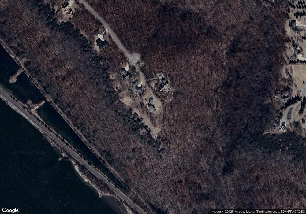
Map
Nearby Homes
- N4387 1115th St
- W11011 470th Ave
- N4848 1110th St
- W11540 504th Ave
- W11651 State Road 35
- xxxxx 566th Ave
- W10415 521st Ave
- TBD Ravenna Trail
- N5620 1090th St
- W10664 566th Ave
- W11980 565th Ave
- 20430 Rhoda Ave
- N5887 1110th St
- N5449 County Rd E
- N5608 County Rd E
- XXX Red Wing Blvd
- 490 Sea Wing Blvd
- 2117 Pleasant Dr
- 2113 Pleasant Dr
- 470 Sea Wing Blvd
- N4397 1130th St
- N4392 1130th St
- N4401 1130th St
- 4415 1130th St
- Lot 14 1130th
- Lot 12 1130 St
- Lot 15 1130th
- Lot 14 1130th
- Lot 15 1130 St
- N4435 1130th St
- N4381 1115th St
- XXX 1130th St
- N4450 1130th St
- N4445 1130th St
- N4419 1115th St
- Lot 64 446th Ave
- N4443 1115th St
- 0 Unassigned Address Unit 3875766
- 0 Unassigned Address Unit 3814130
- N4470 1130th St