N4394 Lakeview Rd Hustisford, WI 53034
Estimated Value: $328,000 - $889,749
3
Beds
2
Baths
1,275
Sq Ft
$478/Sq Ft
Est. Value
About This Home
This home is located at N4394 Lakeview Rd, Hustisford, WI 53034 and is currently estimated at $608,875, approximately $477 per square foot. N4394 Lakeview Rd is a home located in Dodge County with nearby schools including John Hustis Elementary School, Hustisford High School, and Bethany Lutheran School.
Ownership History
Date
Name
Owned For
Owner Type
Purchase Details
Closed on
Jul 29, 2021
Sold by
Marban Betty L and Marban Will
Bought by
Riegleman Paul and Riegleman Michelle
Current Estimated Value
Home Financials for this Owner
Home Financials are based on the most recent Mortgage that was taken out on this home.
Original Mortgage
$1,525,000
Outstanding Balance
$1,386,697
Interest Rate
2.9%
Mortgage Type
Purchase Money Mortgage
Estimated Equity
-$777,822
Create a Home Valuation Report for This Property
The Home Valuation Report is an in-depth analysis detailing your home's value as well as a comparison with similar homes in the area
Purchase History
| Date | Buyer | Sale Price | Title Company |
|---|---|---|---|
| Riegleman Paul | $2,000,000 | None Available |
Source: Public Records
Mortgage History
| Date | Status | Borrower | Loan Amount |
|---|---|---|---|
| Open | Riegleman Paul | $1,525,000 |
Source: Public Records
Tax History Compared to Growth
Tax History
| Year | Tax Paid | Tax Assessment Tax Assessment Total Assessment is a certain percentage of the fair market value that is determined by local assessors to be the total taxable value of land and additions on the property. | Land | Improvement |
|---|---|---|---|---|
| 2024 | $8,580 | $479,000 | $288,500 | $190,500 |
| 2023 | $8,545 | $479,000 | $288,500 | $190,500 |
| 2022 | $8,987 | $479,000 | $288,500 | $190,500 |
| 2021 | $7,958 | $479,000 | $288,500 | $190,500 |
| 2020 | $8,229 | $479,000 | $288,500 | $190,500 |
| 2019 | $8,179 | $479,000 | $288,500 | $190,500 |
| 2018 | $7,982 | $460,500 | $288,200 | $172,300 |
| 2017 | $8,093 | $460,500 | $288,200 | $172,300 |
| 2016 | $8,247 | $460,500 | $288,200 | $172,300 |
| 2015 | $7,972 | $460,500 | $288,200 | $172,300 |
| 2014 | $8,261 | $460,500 | $288,200 | $172,300 |
Source: Public Records
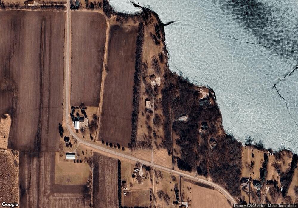
Map
Nearby Homes
- N4554 Lakeview Rd
- 727 E Lakeview Rd Unit 8
- 109 S Lake St
- 244 S Ridge St
- N4958 Arrowhead Trail
- N4973 Lake Dr
- N4550 County Road Dj
- Lt1 W Horseshoe Rd
- N5413 County Rd S
- N6436 County Road Tw
- 0 Burkwald Ave
- 236 S Hyland St
- Lt11 Cross St
- 206 South St
- 203 South St
- 234 Watertower Cir
- 201 Edgewater Ct
- 603 Sycamore Place
- 426 Seitz Ave
- 210 Ellison St
- Lt2 N Lakeview Rd
- Lt2 N Lakeview Rd Unit Lt2
- N4380 Lakeview Rd
- 921 Lakeview Rd
- 917 Lakeview Rd
- Lot 1 Lakeview Rd
- N4395 Lakeview Rd
- N4409 Lakeview Rd
- N4506 Lakeview Rd
- N4379 Lakeview Rd
- 827 E Lakeview Rd
- W4438 E Lakeview Rd
- W4436 E Lakeview Rd
- W4428 E Lakeview Rd
- W4410 E Lakeview Rd
- 737 E Lakeview Rd Unit 12
- 737 E Lakeview Rd Unit 11
- 737 E Lakeview Rd Unit 10
- 737 E Lakeview Rd Unit 9
- 737 E Lakeview Rd Unit 8