N44W24075 Lindsay Rd Pewaukee, WI 53072
Estimated Value: $521,810 - $712,000
--
Bed
--
Bath
--
Sq Ft
4.97
Acres
About This Home
This home is located at N44W24075 Lindsay Rd, Pewaukee, WI 53072 and is currently estimated at $618,270. N44W24075 Lindsay Rd is a home located in Waukesha County with nearby schools including Pewaukee Lake Elementary School, Asa Clark Middle School, and Pewaukee High School.
Ownership History
Date
Name
Owned For
Owner Type
Purchase Details
Closed on
Jul 27, 2011
Sold by
Anderson Richard and Anderson Sheila J
Bought by
Premo Eric J
Current Estimated Value
Home Financials for this Owner
Home Financials are based on the most recent Mortgage that was taken out on this home.
Original Mortgage
$260,000
Interest Rate
4.54%
Mortgage Type
New Conventional
Create a Home Valuation Report for This Property
The Home Valuation Report is an in-depth analysis detailing your home's value as well as a comparison with similar homes in the area
Home Values in the Area
Average Home Value in this Area
Purchase History
| Date | Buyer | Sale Price | Title Company |
|---|---|---|---|
| Premo Eric J | $347,500 | None Available |
Source: Public Records
Mortgage History
| Date | Status | Borrower | Loan Amount |
|---|---|---|---|
| Open | Premo Eric J | $260,000 | |
| Previous Owner | Premo Eric J | $260,000 |
Source: Public Records
Tax History Compared to Growth
Tax History
| Year | Tax Paid | Tax Assessment Tax Assessment Total Assessment is a certain percentage of the fair market value that is determined by local assessors to be the total taxable value of land and additions on the property. | Land | Improvement |
|---|---|---|---|---|
| 2024 | $4,336 | $350,800 | $148,200 | $202,600 |
| 2023 | $4,303 | $350,800 | $148,200 | $202,600 |
| 2022 | $4,422 | $350,800 | $148,200 | $202,600 |
| 2021 | $4,390 | $350,800 | $148,200 | $202,600 |
| 2020 | $4,613 | $295,000 | $153,600 | $141,400 |
| 2019 | $4,482 | $295,000 | $153,600 | $141,400 |
| 2018 | $4,325 | $295,000 | $153,600 | $141,400 |
| 2017 | $4,317 | $295,000 | $153,600 | $141,400 |
| 2016 | $4,476 | $295,000 | $153,600 | $141,400 |
| 2015 | $4,543 | $295,000 | $153,600 | $141,400 |
| 2014 | $4,622 | $295,000 | $153,600 | $141,400 |
| 2013 | $4,622 | $295,000 | $153,600 | $141,400 |
Source: Public Records
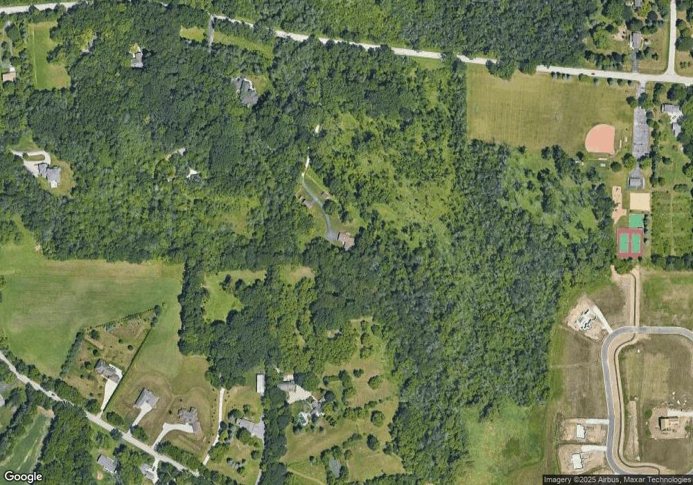
Map
Nearby Homes
- W238N4620 Woods Edge Dr
- 533 Westfield Way Unit C
- 1339 Hillwood Blvd Unit D
- 353 Westfield Way
- N35W23701 Auburn Ct Unit 1
- 339 Jonathan Dr
- N35W23690 Auburn Ct Unit 13-1
- 1356 Greenhedge Rd Unit C1
- 1356 Greenhedge Rd Unit C7
- 1334 Greenhedge Rd Unit B7
- 1322 Greenhedge Rd Unit 5
- 1070 Hillwood Blvd
- W250N5015 William Dr
- N46W22811 Lindsay Rd
- 602 Ole Dairy Rd
- W237N5468 Limestone Ct
- W237N5478 Fieldstone Pass Cir
- N45W22742 Charlotte Way
- W242N5613 Peppertree Dr S
- 1343 Meadowcreek Dr Unit B
- N44W24152 Lindsay Rd
- W243N4310 Swan Rd
- W238N4375 Farm Field Cir
- N45W24251 Lindsay Rd
- W242N4251 Swan Rd
- N45W24277 Lindsay Rd
- W242N4385 Swan Rd
- W241N4225 Swan Rd
- N44W23845 Lindsay Rd
- W238N4523 Woods Edge Dr
- N45W24357 Lindsay Rd
- W238N4551 Woods Edge Dr
- N44W23797 Lindsay Rd
- W243N4365 Swan Rd
- W243N4387 Swan Rd
- W238N4573 Woods Edge Dr
- W238N4518 Woods Edge Dr
- W237N4353 Farm Field Cir
- W237N4365 Farm Field Cir
- W237 N4365 Farm Field Cir