N4522 Oakland Dr Waupaca, WI 54981
Estimated Value: $200,000 - $323,000
--
Bed
--
Bath
--
Sq Ft
1.23
Acres
About This Home
This home is located at N4522 Oakland Dr, Waupaca, WI 54981 and is currently estimated at $267,391. N4522 Oakland Dr is a home located in Waupaca County with nearby schools including Waupaca Learning Center Elementary School, Waupaca Middle School, and Waupaca High School.
Ownership History
Date
Name
Owned For
Owner Type
Purchase Details
Closed on
Apr 25, 2024
Sold by
Forseth Leigh A and Edgren Thomas
Bought by
Forseth Andrew D
Current Estimated Value
Home Financials for this Owner
Home Financials are based on the most recent Mortgage that was taken out on this home.
Original Mortgage
$223,200
Outstanding Balance
$219,986
Interest Rate
6.74%
Mortgage Type
New Conventional
Estimated Equity
$47,405
Create a Home Valuation Report for This Property
The Home Valuation Report is an in-depth analysis detailing your home's value as well as a comparison with similar homes in the area
Home Values in the Area
Average Home Value in this Area
Purchase History
| Date | Buyer | Sale Price | Title Company |
|---|---|---|---|
| Forseth Andrew D | $279,000 | None Listed On Document |
Source: Public Records
Mortgage History
| Date | Status | Borrower | Loan Amount |
|---|---|---|---|
| Open | Forseth Andrew D | $223,200 |
Source: Public Records
Tax History Compared to Growth
Tax History
| Year | Tax Paid | Tax Assessment Tax Assessment Total Assessment is a certain percentage of the fair market value that is determined by local assessors to be the total taxable value of land and additions on the property. | Land | Improvement |
|---|---|---|---|---|
| 2024 | $2,366 | $164,200 | $21,500 | $142,700 |
| 2023 | $2,366 | $164,200 | $21,500 | $142,700 |
| 2022 | $1,884 | $164,200 | $21,500 | $142,700 |
| 2021 | $2,158 | $139,900 | $14,800 | $125,100 |
| 2020 | $2,191 | $139,900 | $14,800 | $125,100 |
| 2019 | $2,169 | $139,900 | $14,800 | $125,100 |
| 2018 | $2,375 | $139,900 | $14,800 | $125,100 |
| 2017 | $2,519 | $139,900 | $14,800 | $125,100 |
| 2016 | $2,380 | $139,900 | $14,800 | $125,100 |
| 2015 | $2,471 | $139,900 | $14,800 | $125,100 |
| 2014 | $2,453 | $139,900 | $14,800 | $125,100 |
| 2013 | $2,473 | $139,900 | $14,800 | $125,100 |
Source: Public Records
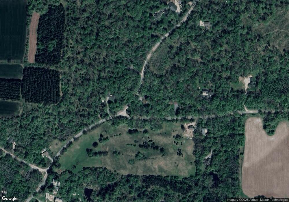
Map
Nearby Homes
- E1379 Larson Rd
- E1628 River Wood Dr
- 920 Thomas Trail
- E2264 Meadow Valley Ct
- 901 Thomas Trail
- 908 Honey Bear Ln
- E2059 N Westgate Acres Rd
- 401 Bailey St
- 0 Covered Bridge Rd Unit 50292957
- 1015 W Fulton St
- 200 Prairie View Ct
- 203 Vista Ct
- 200 Vista Ct
- E1782 Garfield Ln
- 409 Scott St
- 340 North St
- 2001 State Rd 54
- N3054 County Road Qq
- 1547 Foxfire Ct
- 1579 Foxfire Ct
- E1952 Nelson Rd
- N4497 Oakland Dr
- 0 Nelson Rd Unit 1801058
- 0 Nelson Rd Unit 50283723
- 0 Nelson Rd Unit 50283704
- 0 Nelson Rd Unit 50276306
- 0 Nelson Rd Unit 50270916
- 0 Nelson Rd Unit 50267701
- 0 Nelson Rd Unit 50231920
- 0 Nelson Rd Unit 20906342
- 0 Nelson Rd Unit 20906343
- 0 Nelson Rd Unit 20906349
- 0 Nelson Rd Unit 20906346
- 0 Nelson Rd Unit 50031195
- 0 Nelson Rd Unit 50031192
- 0 Nelson Rd Unit 50031081
- 0 Nelson Rd Unit 50031078
- 0 Nelson Rd Unit 50056345
- 0 Nelson Rd Unit 50056343
- 0 Nelson Rd Unit 50051705