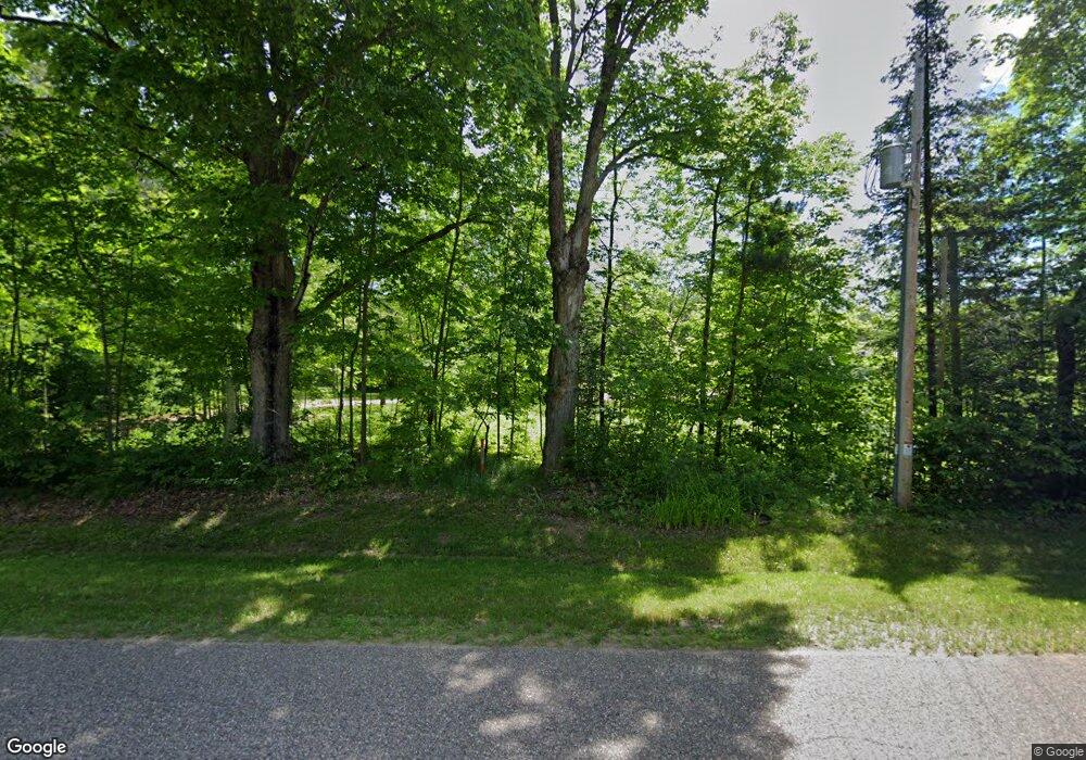
N4539 Polar Rd Bryant, WI 54418
Estimated Value: $346,000 - $481,000
Studio
--
Bath
--
Sq Ft
20
Acres
About This Home
This home is located at N4539 Polar Rd, Bryant, WI 54418 and is currently estimated at $428,746. N4539 Polar Rd is a home with nearby schools including Antigo High School.
Ownership History
Date
Name
Owned For
Owner Type
Purchase Details
Closed on
Nov 19, 2012
Sold by
Mocine Ralph F and Mocine Linda M
Bought by
Muraski Jason J and Muraski Kristin M
Current Estimated Value
Home Financials for this Owner
Home Financials are based on the most recent Mortgage that was taken out on this home.
Original Mortgage
$187,000
Outstanding Balance
$128,976
Interest Rate
3.35%
Estimated Equity
$299,770
Create a Home Valuation Report for This Property
The Home Valuation Report is an in-depth analysis detailing your home's value as well as a comparison with similar homes in the area
Purchase History
| Date | Buyer | Sale Price | Title Company |
|---|---|---|---|
| Muraski Jason J | -- | Langlade Abstract & Title, C |
Source: Public Records
Mortgage History
| Date | Status | Borrower | Loan Amount |
|---|---|---|---|
| Open | Muraski Jason J | $187,000 |
Source: Public Records
Tax History Compared to Growth
Tax History
| Year | Tax Paid | Tax Assessment Tax Assessment Total Assessment is a certain percentage of the fair market value that is determined by local assessors to be the total taxable value of land and additions on the property. | Land | Improvement |
|---|---|---|---|---|
| 2024 | $4,701 | $258,300 | $50,100 | $208,200 |
| 2023 | $4,315 | $258,300 | $50,100 | $208,200 |
| 2022 | $3,406 | $258,300 | $50,100 | $208,200 |
| 2021 | $3,234 | $237,700 | $50,100 | $187,600 |
| 2020 | $3,385 | $237,700 | $50,100 | $187,600 |
| 2019 | $3,057 | $237,700 | $50,100 | $187,600 |
| 2018 | $2,978 | $237,700 | $50,100 | $187,600 |
| 2017 | $3,343 | $259,800 | $50,100 | $209,700 |
| 2016 | $2,835 | $239,600 | $54,200 | $185,400 |
| 2015 | $1,955 | $176,600 | $54,200 | $122,400 |
| 2014 | $161 | $42,400 | $42,400 | $0 |
| 2013 | $170 | $42,400 | $42,400 | $0 |
Source: Public Records
Map
Nearby Homes
- N4596 Angle Rd
- N4528 Price Polar Rd
- N4532 Polar Rd
- N4514 Polar Rd
- N4334 Polar Rd
- N4432 Chillie Rd
- 0000 Polar Rd
- 80 Acres Polar Rd
- 80 Acres Polar Rd
- 40 Polar Rd
- N4152 Polar Rd
- N4515 County Rd S
- W7035 State Highway 64
- W7035 State Highway 64
- N4691 Carter Rd
- N4608 Price Polar Rd
- N4982 State Highway 52
- N4982 State Highway 52
- N4712 River Rd
- W6864 Dinrail Ln
