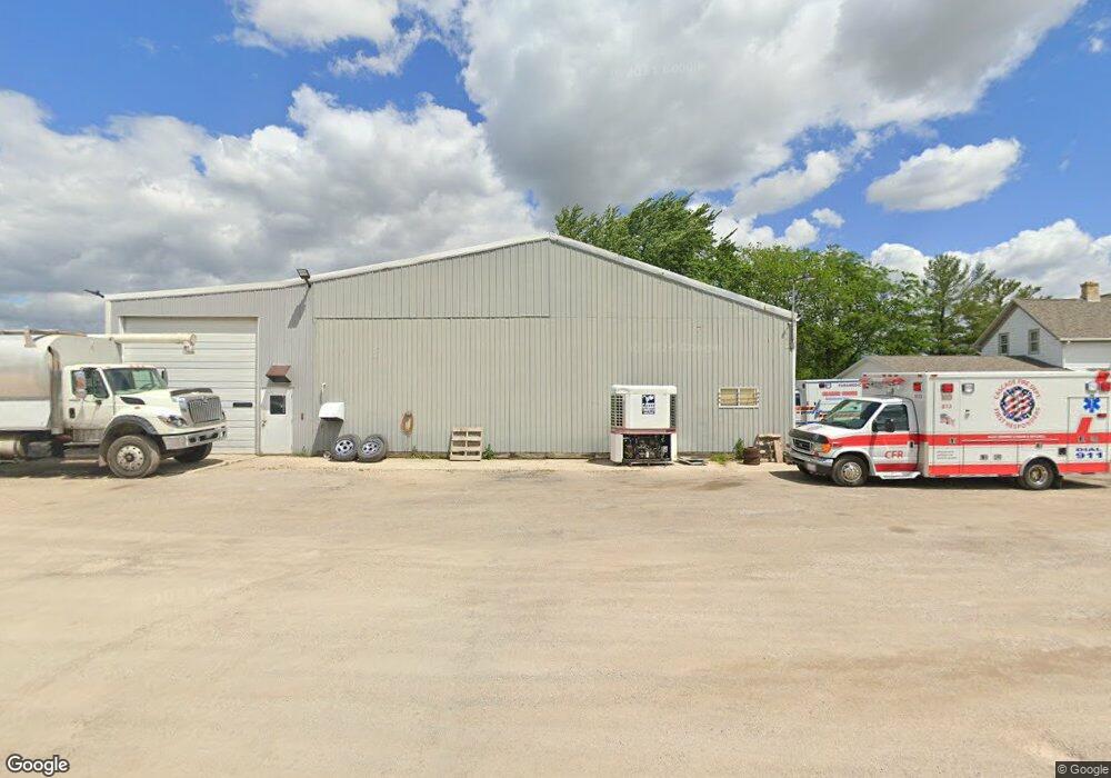
N4560 State Road 57 Plymouth, WI 53073
Estimated Value: $415,000 - $690,000
--
Bed
--
Bath
--
Sq Ft
4
Acres
About This Home
This home is located at N4560 State Road 57, Plymouth, WI 53073 and is currently estimated at $525,476. N4560 State Road 57 is a home located in Sheboygan County with nearby schools including Plymouth High School and St. John Lutheran School.
Ownership History
Date
Name
Owned For
Owner Type
Purchase Details
Closed on
Nov 19, 2018
Sold by
Lammers Kenneth W and Lammers Laurette M
Bought by
Black Dawg Diesel Llc
Current Estimated Value
Home Financials for this Owner
Home Financials are based on the most recent Mortgage that was taken out on this home.
Original Mortgage
$245,000
Outstanding Balance
$215,004
Interest Rate
4.8%
Mortgage Type
New Conventional
Estimated Equity
$310,472
Create a Home Valuation Report for This Property
The Home Valuation Report is an in-depth analysis detailing your home's value as well as a comparison with similar homes in the area
Home Values in the Area
Average Home Value in this Area
Purchase History
| Date | Buyer | Sale Price | Title Company |
|---|---|---|---|
| Black Dawg Diesel Llc | $350,000 | Andrews & Wirtz Law Office Llc |
Source: Public Records
Mortgage History
| Date | Status | Borrower | Loan Amount |
|---|---|---|---|
| Open | Black Dawg Diesel Llc | $245,000 |
Source: Public Records
Tax History Compared to Growth
Tax History
| Year | Tax Paid | Tax Assessment Tax Assessment Total Assessment is a certain percentage of the fair market value that is determined by local assessors to be the total taxable value of land and additions on the property. | Land | Improvement |
|---|---|---|---|---|
| 2024 | $6,186 | $348,100 | $52,500 | $295,600 |
| 2023 | $5,691 | $348,100 | $52,500 | $295,600 |
| 2022 | $5,192 | $348,100 | $52,500 | $295,600 |
| 2021 | $5,447 | $348,100 | $52,500 | $295,600 |
| 2020 | $5,472 | $348,100 | $52,500 | $295,600 |
| 2019 | $5,133 | $312,500 | $52,500 | $260,000 |
| 2018 | $4,859 | $312,500 | $52,500 | $260,000 |
| 2017 | $4,907 | $312,500 | $52,500 | $260,000 |
| 2016 | $5,036 | $312,500 | $52,500 | $260,000 |
| 2015 | $5,116 | $312,500 | $52,500 | $260,000 |
| 2014 | $4,920 | $312,500 | $52,500 | $260,000 |
Source: Public Records
Map
Nearby Homes
- W5315 Sumac Rd
- Tbd Blueberry Ln
- 731 Pheasant Run
- Lt0 County Rd N
- Lt2 Mowtown Dr
- 1138 Prairie Rd
- Riverview Plan at Plymouth Meadows
- Remington Plan at Plymouth Meadows
- Prairieview Plan at Plymouth Meadows
- Oxford Plan at Plymouth Meadows
- Wilshire Plan at Plymouth Meadows
- Hawthorne Plan at Plymouth Meadows
- Lancaster Plan at Plymouth Meadows
- Manchester Plan at Plymouth Meadows
- Hartford Plan at Plymouth Meadows
- Briarwood Plan at Plymouth Meadows
- Lexington Plan at Plymouth Meadows
- Princeton Plan at Plymouth Meadows
- Preston Plan at Plymouth Meadows
- Richmond Plan at Plymouth Meadows
- N4572 State Road 57
- W4872 County Road U
- N4633 State Road 57
- W4943 County Road U
- W4990 County Road U
- W4798 County Road U
- N4699 State Road 57
- W4793 County Road U
- W5088 County Road U
- N4356 State Road 57
- N4355 State Road 57
- W4704 County Road U
- W5130 County Road U
- W4691 County Road U
- W4691 County Trunk Highway U
- W5154 County Road U
- W5168 County Road U
- W4646 County Road U
- N4274 State Road 57
- W5182 County Road U