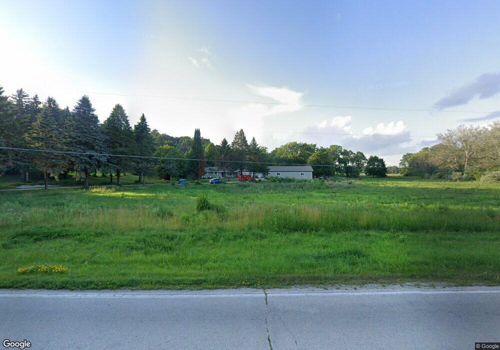
N45W25141 Lindsay Rd Pewaukee, WI 53072
Estimated Value: $508,000 - $704,641
4
Beds
2
Baths
1,819
Sq Ft
$339/Sq Ft
Est. Value
About This Home
This home is located at N45W25141 Lindsay Rd, Pewaukee, WI 53072 and is currently estimated at $616,910, approximately $339 per square foot. N45W25141 Lindsay Rd is a home located in Waukesha County with nearby schools including Pewaukee Lake Elementary School, Asa Clark Middle School, and Pewaukee High School.
Ownership History
Date
Name
Owned For
Owner Type
Purchase Details
Closed on
May 22, 2020
Sold by
Teuteberg John R
Bought by
Stein Nikolaus K and Stein Melissa A
Current Estimated Value
Home Financials for this Owner
Home Financials are based on the most recent Mortgage that was taken out on this home.
Original Mortgage
$340,100
Outstanding Balance
$301,376
Interest Rate
3.3%
Mortgage Type
New Conventional
Estimated Equity
$315,534
Purchase Details
Closed on
Jul 1, 2004
Sold by
Teuteberg Wilma L
Bought by
State Of Wisconsin Department Of Transpo
Create a Home Valuation Report for This Property
The Home Valuation Report is an in-depth analysis detailing your home's value as well as a comparison with similar homes in the area
Home Values in the Area
Average Home Value in this Area
Purchase History
| Date | Buyer | Sale Price | Title Company |
|---|---|---|---|
| Stein Nikolaus K | $358,000 | Knight Barry Title | |
| State Of Wisconsin Department Of Transpo | $4,400 | -- |
Source: Public Records
Mortgage History
| Date | Status | Borrower | Loan Amount |
|---|---|---|---|
| Open | Stein Nikolaus K | $340,100 |
Source: Public Records
Tax History Compared to Growth
Tax History
| Year | Tax Paid | Tax Assessment Tax Assessment Total Assessment is a certain percentage of the fair market value that is determined by local assessors to be the total taxable value of land and additions on the property. | Land | Improvement |
|---|---|---|---|---|
| 2024 | $5,496 | $447,200 | $141,200 | $306,000 |
| 2023 | $5,366 | $439,000 | $141,100 | $297,900 |
| 2022 | $5,301 | $421,200 | $181,500 | $239,700 |
| 2021 | $4,501 | $359,700 | $144,800 | $214,900 |
| 2020 | $4,679 | $299,300 | $156,200 | $143,100 |
| 2019 | $4,241 | $299,300 | $156,200 | $143,100 |
| 2018 | $4,092 | $299,300 | $156,200 | $143,100 |
| 2017 | $4,841 | $299,300 | $156,200 | $143,100 |
| 2016 | $4,240 | $299,300 | $156,200 | $143,100 |
| 2015 | $4,298 | $299,300 | $156,200 | $143,100 |
| 2014 | $4,692 | $299,300 | $156,200 | $143,100 |
| 2013 | $4,692 | $299,300 | $156,200 | $143,100 |
Source: Public Records
Map
Nearby Homes
- 602 Ole Dairy Rd
- 353 Westfield Way
- 339 Jonathan Dr
- 533 Westfield Way Unit C
- 1070 Hillwood Blvd
- 1339 Hillwood Blvd Unit D
- 368 Park Hill Dr Unit H
- Lt39 Crescent Hill Dr
- W253N5526 Crescent Hill Dr
- N54W25371 Crescent Hill Dr
- W253N5466 Crescent Hill Dr
- W253N5539 Crescent Hill Dr
- N55W25226 Crescent Hill Dr
- Lt2 Crescent Hill Dr
- Lt33 Crescent Hill Dr
- Lt13 Crescent Hill Dr
- Lt40 Crescent Hill Dr
- N55W25295 Crescent Hill Dr
- N55W25282 Crescent Hill Dr
- W253N5598 Crescent Hill Dr
- N45W25186 Lindsay Rd
- 801 Lindsay Rd
- N45W25222 Lindsay Rd
- 757 Lindsay Rd
- N45W25203 Lindsay Rd
- W252N4518 Sussex St
- 758 Stepping Stone Way
- 715 Lindsay Rd
- N45W25011 Lindsay Rd
- N45W25260 Lindsay Rd
- 744 Stepping Stone Way
- 730 Stepping Stone Way
- N45W25045 Lindsay Rd
- 804 Stepping Stone Way
- 716 Stepping Stone Way
- 783 Stepping Stone Way
- W252N4468 Sussex St
- 607 Stepping Stone Way
- 751 Stepping Stone Way
- 849 Sussex St