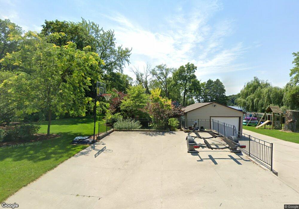
N4605 Lake Dr Hustisford, WI 53034
Estimated Value: $310,000 - $378,932
2
Beds
1
Bath
900
Sq Ft
$381/Sq Ft
Est. Value
About This Home
This home is located at N4605 Lake Dr, Hustisford, WI 53034 and is currently estimated at $342,733, approximately $380 per square foot. N4605 Lake Dr is a home located in Dodge County with nearby schools including John Hustis Elementary School, Hustisford High School, and Bethany Lutheran School.
Ownership History
Date
Name
Owned For
Owner Type
Purchase Details
Closed on
May 13, 2017
Sold by
Grove Nathan L and Grove Jessica L
Bought by
Vail Bryan and Vail Laurie
Current Estimated Value
Home Financials for this Owner
Home Financials are based on the most recent Mortgage that was taken out on this home.
Original Mortgage
$178,000
Outstanding Balance
$148,029
Interest Rate
4.1%
Mortgage Type
New Conventional
Estimated Equity
$194,704
Purchase Details
Closed on
May 20, 2009
Sold by
Capplelli John E and Capplelli Debbie M
Bought by
Grove Nathan L and Grove Jessica L
Purchase Details
Closed on
Jan 6, 2005
Sold by
Cappelli John E
Bought by
Cappelli John E and Cappelli Debbie M
Create a Home Valuation Report for This Property
The Home Valuation Report is an in-depth analysis detailing your home's value as well as a comparison with similar homes in the area
Home Values in the Area
Average Home Value in this Area
Purchase History
| Date | Buyer | Sale Price | Title Company |
|---|---|---|---|
| Vail Bryan | -- | None Available | |
| Grove Nathan L | $172,000 | None Available | |
| Cappelli John E | -- | -- |
Source: Public Records
Mortgage History
| Date | Status | Borrower | Loan Amount |
|---|---|---|---|
| Open | Vail Bryan | $178,000 |
Source: Public Records
Tax History Compared to Growth
Tax History
| Year | Tax Paid | Tax Assessment Tax Assessment Total Assessment is a certain percentage of the fair market value that is determined by local assessors to be the total taxable value of land and additions on the property. | Land | Improvement |
|---|---|---|---|---|
| 2024 | $3,708 | $202,200 | $83,700 | $118,500 |
| 2023 | $3,692 | $202,200 | $83,700 | $118,500 |
| 2022 | $3,880 | $202,200 | $83,700 | $118,500 |
| 2021 | $3,442 | $202,200 | $83,700 | $118,500 |
| 2020 | $3,622 | $202,200 | $83,700 | $118,500 |
| 2019 | $3,609 | $202,200 | $83,700 | $118,500 |
| 2018 | $3,442 | $190,000 | $83,700 | $106,300 |
| 2017 | $3,459 | $190,000 | $83,700 | $106,300 |
| 2016 | $3,527 | $190,000 | $83,700 | $106,300 |
| 2015 | $3,406 | $190,000 | $83,700 | $106,300 |
| 2014 | $3,520 | $190,000 | $83,700 | $106,300 |
Source: Public Records
Map
Nearby Homes
- N4569 Hazelwood Rd
- N4690 Lake Dr
- N4510 Anthony Island -
- N4510 & N4504 Anthony Island
- N4973 Lake Dr
- .68 Acre Parcel Anthony Island
- 727 E Lakeview Rd Unit 8
- W4436 E Lakeview Rd
- 827 E Lakeview Rd
- 244 S Ridge St
- 252 S Hustis St
- 441 Sandy Ln
- N4557 Lakeview Rd
- N4554 Lakeview Rd
- Lt38 Sinissippi Point Rd
- N4550 County Road Dj
- N5413 County Rd S
- 0 Burkwald Ave
- 202 East Ave
- Lt1 W Horseshoe Rd
- N4607 County Rd E
- L1 Lake Dr Unit Lake
- L1 Lake Dr
- L3 Lake Dr
- L2 Lake Dr
- N4615 Lake Dr
- N4603 County Rd E
- N4606 Lake Dr
- N4599 County Rd E
- N4619 Lake Dr
- N4587 County Rd E
- N4623 Lake Dr
- N4613 Hazelwood Rd
- N4613 Hazelwood Rd
- N4613 Hazelwood Rd
- N4613 Hazelwood Rd
- N4625 Lake Dr
- N4605 Hazelwood Rd
- N4583 County Rd E
- N4627 Lake Dr