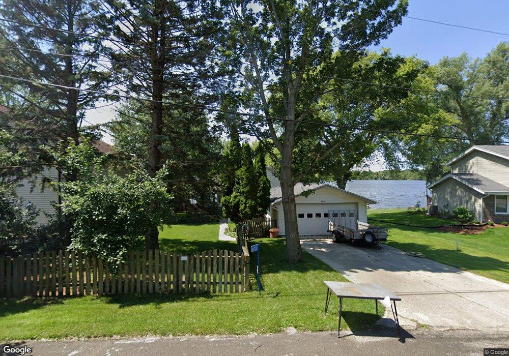
N4707 Lake Dr Hustisford, WI 53034
Estimated Value: $432,000 - $551,000
--
Bed
--
Bath
--
Sq Ft
9,845
Sq Ft Lot
About This Home
This home is located at N4707 Lake Dr, Hustisford, WI 53034 and is currently estimated at $465,982. N4707 Lake Dr is a home located in Dodge County with nearby schools including John Hustis Elementary School, Hustisford High School, and Bethany Lutheran School.
Ownership History
Date
Name
Owned For
Owner Type
Purchase Details
Closed on
May 8, 2018
Sold by
Stark Brian H and Stark Marcia A
Bought by
Macguire Laura M and Macguire Teresa C
Current Estimated Value
Home Financials for this Owner
Home Financials are based on the most recent Mortgage that was taken out on this home.
Original Mortgage
$208,000
Outstanding Balance
$179,095
Interest Rate
4.4%
Mortgage Type
New Conventional
Estimated Equity
$286,887
Purchase Details
Closed on
Sep 21, 2012
Sold by
Gus Nick Kokonas And Edda Kokonas Revocable T
Bought by
Stark Brian H
Create a Home Valuation Report for This Property
The Home Valuation Report is an in-depth analysis detailing your home's value as well as a comparison with similar homes in the area
Home Values in the Area
Average Home Value in this Area
Purchase History
| Date | Buyer | Sale Price | Title Company |
|---|---|---|---|
| Macguire Laura M | $260,000 | Attorneys Title And Closing | |
| Stark Brian H | $230,000 | -- |
Source: Public Records
Mortgage History
| Date | Status | Borrower | Loan Amount |
|---|---|---|---|
| Open | Macguire Laura M | $208,000 |
Source: Public Records
Tax History Compared to Growth
Tax History
| Year | Tax Paid | Tax Assessment Tax Assessment Total Assessment is a certain percentage of the fair market value that is determined by local assessors to be the total taxable value of land and additions on the property. | Land | Improvement |
|---|---|---|---|---|
| 2024 | $4,654 | $253,100 | $77,300 | $175,800 |
| 2023 | $4,635 | $253,100 | $77,300 | $175,800 |
| 2022 | $4,871 | $253,100 | $77,300 | $175,800 |
| 2021 | $4,323 | $253,100 | $77,300 | $175,800 |
| 2020 | $4,551 | $253,100 | $77,300 | $175,800 |
| 2019 | $4,533 | $253,100 | $77,300 | $175,800 |
| 2018 | $3,965 | $218,400 | $77,300 | $141,100 |
| 2017 | $3,873 | $218,400 | $77,300 | $141,100 |
| 2016 | $3,934 | $218,400 | $77,300 | $141,100 |
| 2015 | $3,819 | $218,400 | $77,300 | $141,100 |
| 2014 | $4,046 | $218,400 | $77,300 | $141,100 |
Source: Public Records
Map
Nearby Homes
- N4690 Lake Dr
- N4569 Hazelwood Rd
- N4510 Anthony Island -
- N4510 & N4504 Anthony Island
- N4973 Lake Dr
- 727 E Lakeview Rd Unit 8
- W4436 E Lakeview Rd
- 827 E Lakeview Rd
- .68 Acre Parcel Anthony Island
- 109 S Lake St
- N4557 Lakeview Rd
- N4554 Lakeview Rd
- 244 S Ridge St
- 252 S Hustis St
- 441 Sandy Ln
- Lt38 Sinissippi Point Rd
- N4550 County Road Dj
- N5413 County Rd S
- 0 Burkwald Ave
- Lt1 W Horseshoe Rd