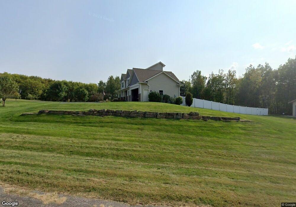
N4853 1165th St Prescott, WI 54021
Estimated Value: $520,000 - $760,655
--
Bed
--
Bath
--
Sq Ft
3.94
Acres
About This Home
This home is located at N4853 1165th St, Prescott, WI 54021 and is currently estimated at $645,218. N4853 1165th St is a home with nearby schools including Malone Elementary School, Prescott Middle School, and Prescott High School.
Ownership History
Date
Name
Owned For
Owner Type
Purchase Details
Closed on
Jul 20, 2012
Sold by
Miles Jeffrey F and Miles Jodi M
Bought by
Johnson Dana and Johnson Micala
Current Estimated Value
Home Financials for this Owner
Home Financials are based on the most recent Mortgage that was taken out on this home.
Original Mortgage
$40,871
Outstanding Balance
$28,293
Interest Rate
3.73%
Mortgage Type
Future Advance Clause Open End Mortgage
Estimated Equity
$616,925
Purchase Details
Closed on
Jun 10, 2010
Sold by
Burrows David
Bought by
Miles Jeffrey F and Miles Jodi M
Create a Home Valuation Report for This Property
The Home Valuation Report is an in-depth analysis detailing your home's value as well as a comparison with similar homes in the area
Home Values in the Area
Average Home Value in this Area
Purchase History
| Date | Buyer | Sale Price | Title Company |
|---|---|---|---|
| Johnson Dana | $57,500 | Global Closing & Title Svcs | |
| Miles Jeffrey F | -- | None Available |
Source: Public Records
Mortgage History
| Date | Status | Borrower | Loan Amount |
|---|---|---|---|
| Open | Johnson Dana | $40,871 |
Source: Public Records
Tax History Compared to Growth
Tax History
| Year | Tax Paid | Tax Assessment Tax Assessment Total Assessment is a certain percentage of the fair market value that is determined by local assessors to be the total taxable value of land and additions on the property. | Land | Improvement |
|---|---|---|---|---|
| 2024 | $10,189 | $667,300 | $71,400 | $595,900 |
| 2023 | $9,437 | $667,300 | $71,400 | $595,900 |
| 2022 | $8,197 | $667,300 | $71,400 | $595,900 |
| 2021 | $6,893 | $354,600 | $59,200 | $295,400 |
| 2020 | $7,569 | $354,600 | $59,200 | $295,400 |
| 2019 | $7,114 | $354,600 | $59,200 | $295,400 |
| 2018 | $6,861 | $354,600 | $59,200 | $295,400 |
| 2017 | $7,173 | $354,600 | $59,200 | $295,400 |
| 2016 | $6,930 | $354,600 | $59,200 | $295,400 |
| 2015 | $1,171 | $59,200 | $59,200 | $0 |
| 2014 | $1,164 | $59,200 | $59,200 | $0 |
| 2013 | $1,087 | $59,200 | $59,200 | $0 |
Source: Public Records
Map
Nearby Homes
- W11540 504th Ave
- N4848 1110th St
- W11011 470th Ave
- N4387 1115th St
- W10780 468th Ave
- W11980 565th Ave
- N5620 1090th St
- xxxxx 566th Ave
- N5687 1210th St
- W10664 566th Ave
- N5887 1110th St
- W10415 521st Ave
- TBD Ravenna Trail
- 490 Sea Wing Blvd
- 2117 Pleasant Dr
- 2113 Pleasant Dr
- 470 Sea Wing Blvd
- 2100 Pleasant Dr
- 452 Delta Queen Ave
- 2101 Pleasant Dr
- XXXX 1165th St
- LOT 12 1165th St
- L12 1165th St Oak Grove Tw
- N4875 1165th St
- N4858 1165th St
- N4815 1165th St
- Lot 32 1165th St
- N4842 1165th St
- N4894 1165th St
- Lot 10 478th Ave
- N4808 1165th St
- N4856 1169th St
- 4856 1169th St
- N4791 1150th St
- XXX 1165th St
- W11564 478th Ave
- 11658 504th Ave
- N4775 1165th St
- N4975 1168th St
- N4863 1169th St