N4880 Arrowhead Tr Hustisford, WI 53039
Estimated Value: $440,000 - $588,117
3
Beds
2
Baths
1,500
Sq Ft
$362/Sq Ft
Est. Value
About This Home
This home is located at N4880 Arrowhead Tr, Hustisford, WI 53039 and is currently estimated at $542,279, approximately $361 per square foot. N4880 Arrowhead Tr is a home located in Dodge County with nearby schools including John Hustis Elementary School, Hustisford High School, and Bethany Lutheran School.
Ownership History
Date
Name
Owned For
Owner Type
Purchase Details
Closed on
Feb 1, 2023
Sold by
Sullivan Lawrence P and Sullivan Laurie L
Bought by
Rhode Douglas and Rhode Lorane
Current Estimated Value
Purchase Details
Closed on
Oct 10, 2016
Sold by
Mcniel John I and Mcniel Emily M
Bought by
Sullivan Lawrence P and Sullivan Laurie L
Purchase Details
Closed on
Mar 11, 2016
Sold by
Urban Quintin L and Urban Audrey H
Bought by
Ncniel John I and Mcniel Emily M
Home Financials for this Owner
Home Financials are based on the most recent Mortgage that was taken out on this home.
Original Mortgage
$182,400
Interest Rate
3.72%
Mortgage Type
New Conventional
Purchase Details
Closed on
Mar 25, 2015
Sold by
Sullivan Lawrence P and Sullivan Laurie L
Bought by
Mcniel John I and Mcniel Emily M
Purchase Details
Closed on
May 17, 2012
Sold by
Bell Maynard P and Bell Eloise M
Bought by
Sullivan Lawrence P and Sullivan Laurie L
Home Financials for this Owner
Home Financials are based on the most recent Mortgage that was taken out on this home.
Original Mortgage
$166,400
Interest Rate
3.23%
Mortgage Type
New Conventional
Create a Home Valuation Report for This Property
The Home Valuation Report is an in-depth analysis detailing your home's value as well as a comparison with similar homes in the area
Home Values in the Area
Average Home Value in this Area
Purchase History
| Date | Buyer | Sale Price | Title Company |
|---|---|---|---|
| Rhode Douglas | $450,000 | Heritage Title | |
| Sullivan Lawrence P | $200,000 | None Available | |
| Ncniel John I | $93,300 | None Available | |
| Mcniel John I | $190,000 | None Available | |
| Sullivan Lawrence P | $208,000 | None Available |
Source: Public Records
Mortgage History
| Date | Status | Borrower | Loan Amount |
|---|---|---|---|
| Previous Owner | Ncniel John I | $182,400 | |
| Previous Owner | Sullivan Lawrence P | $166,400 |
Source: Public Records
Tax History Compared to Growth
Tax History
| Year | Tax Paid | Tax Assessment Tax Assessment Total Assessment is a certain percentage of the fair market value that is determined by local assessors to be the total taxable value of land and additions on the property. | Land | Improvement |
|---|---|---|---|---|
| 2024 | $5,327 | $314,800 | $51,100 | $263,700 |
| 2023 | $5,271 | $315,900 | $51,100 | $264,800 |
| 2022 | $5,579 | $315,900 | $51,100 | $264,800 |
| 2021 | $4,875 | $315,900 | $51,100 | $264,800 |
| 2020 | $4,078 | $249,600 | $51,100 | $198,500 |
| 2019 | $4,044 | $249,600 | $51,100 | $198,500 |
| 2018 | $2,885 | $178,400 | $51,100 | $127,300 |
| 2017 | $2,942 | $178,400 | $51,100 | $127,300 |
| 2016 | $3,001 | $178,400 | $51,100 | $127,300 |
| 2015 | $2,984 | $178,400 | $51,100 | $127,300 |
| 2014 | $3,200 | $178,400 | $51,100 | $127,300 |
Source: Public Records
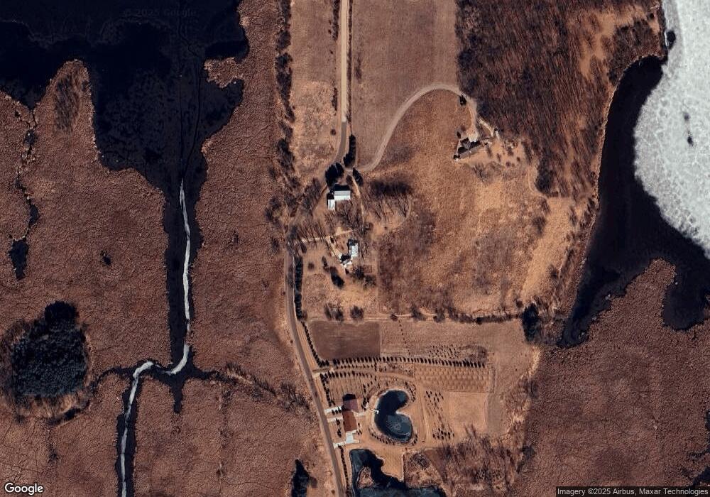
Map
Nearby Homes
- N5025 Arrowhead Ct
- Lt38 Sinissippi Point Rd
- N4554 Lakeview Rd
- N4550 County Road Dj
- N4557 Lakeview Rd
- 827 E Lakeview Rd
- W4436 E Lakeview Rd
- 727 E Lakeview Rd Unit 8
- N4973 Lake Dr
- N4510 Anthony Island -
- N4510 & N4504 Anthony Island
- N4569 Hazelwood Rd
- 252 S Hustis St
- .68 Acre Parcel Anthony Island
- 441 Sandy Ln
- 244 S Ridge St
- Lt1 W Horseshoe Rd
- 508 S Main St
- 175 E Oak Grove St
- 441 Midway St
- N4880 Arrowhead Trail
- N4898 Arrowhead Trail
- Lot 8 Arrowhead Trail
- L7 Arrowhead Tr
- N4949 Arrowhead Trail
- N4958 Arrowhead Trail
- n 4955 Arrowhead Trail
- N4955 Arrowhead Trail
- N4963 Arrowhead Trail
- N4968 Arrowhead Trail
- N4969 Arrowhead Trail
- L7 B3 Arrowhead Tr
- L27 Arrowhead Tr
- n 4978 Arrowhead Trail
- N4978 Arrowhead Trail
- n 4973 Arrowhead Trail
- N4973 Arrowhead Trail
- Lot 2 Arrowhead Trail
- Lt7 Arrowhead Trail
- LOT 7 Arrowhead Trail