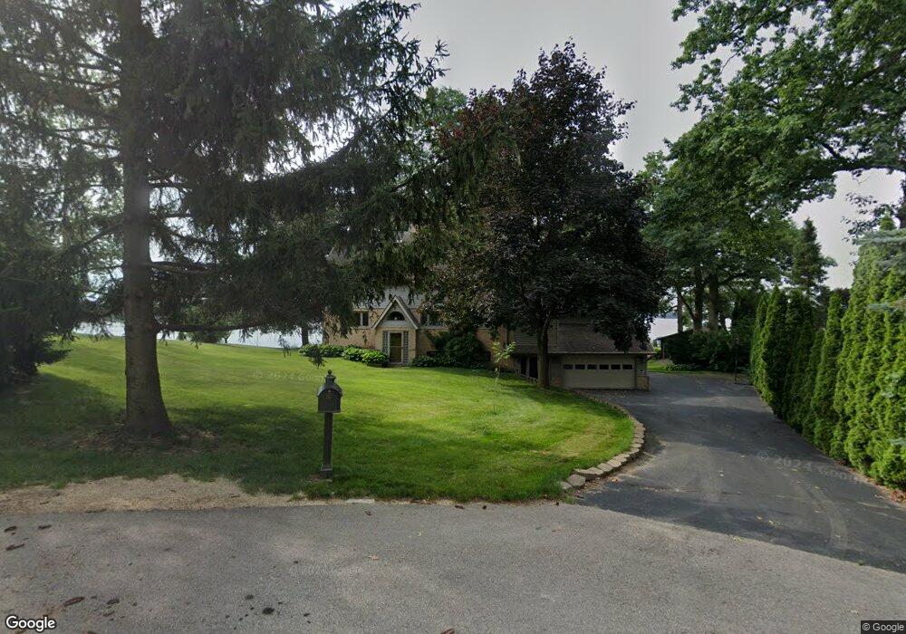
N5150 Wildcat Rd Iron Ridge, WI 53035
Estimated Value: $437,000 - $998,000
4
Beds
2
Baths
3,500
Sq Ft
$217/Sq Ft
Est. Value
About This Home
This home is located at N5150 Wildcat Rd, Iron Ridge, WI 53035 and is currently estimated at $761,099, approximately $217 per square foot. N5150 Wildcat Rd is a home located in Dodge County with nearby schools including John Hustis Elementary School, Hustisford High School, and Bethany Lutheran School.
Ownership History
Date
Name
Owned For
Owner Type
Purchase Details
Closed on
Jun 30, 2025
Sold by
Mary L Gummersall Living Trust and Gummersall Mary L
Bought by
Mary L Gummersall Living Trust and Gummersall
Current Estimated Value
Purchase Details
Closed on
Sep 5, 2008
Sold by
Gummersall John C and Gummersall Mary L
Bought by
Gummersall Mary L
Purchase Details
Closed on
Jul 3, 2008
Sold by
Bradfied Stephen E
Bought by
Gummersall John C and Gummersall Mary L
Create a Home Valuation Report for This Property
The Home Valuation Report is an in-depth analysis detailing your home's value as well as a comparison with similar homes in the area
Home Values in the Area
Average Home Value in this Area
Purchase History
| Date | Buyer | Sale Price | Title Company |
|---|---|---|---|
| Mary L Gummersall Living Trust | -- | None Listed On Document | |
| Gummersall Mary L | -- | None Available | |
| Gummersall John C | $500,000 | None Available |
Source: Public Records
Tax History Compared to Growth
Tax History
| Year | Tax Paid | Tax Assessment Tax Assessment Total Assessment is a certain percentage of the fair market value that is determined by local assessors to be the total taxable value of land and additions on the property. | Land | Improvement |
|---|---|---|---|---|
| 2024 | $7,802 | $486,700 | $135,900 | $350,800 |
| 2023 | $7,411 | $486,700 | $135,900 | $350,800 |
| 2022 | $7,147 | $486,700 | $135,900 | $350,800 |
| 2021 | $7,856 | $486,700 | $135,900 | $350,800 |
| 2020 | $8,332 | $486,700 | $135,900 | $350,800 |
| 2019 | $7,625 | $486,700 | $135,900 | $350,800 |
| 2018 | $7,398 | $486,700 | $135,900 | $350,800 |
| 2017 | $7,847 | $486,700 | $135,900 | $350,800 |
| 2016 | $8,175 | $486,700 | $135,900 | $350,800 |
| 2015 | $7,736 | $486,700 | $135,900 | $350,800 |
| 2014 | $7,594 | $486,700 | $135,900 | $350,800 |
Source: Public Records
Map
Nearby Homes
- N4973 Lake Dr
- Lt38 Sinissippi Point Rd
- N4690 Lake Dr
- N4569 Hazelwood Rd
- N4510 Anthony Island -
- N4510 & N4504 Anthony Island
- N4554 Lakeview Rd
- W4436 E Lakeview Rd
- 827 E Lakeview Rd
- 727 E Lakeview Rd Unit 8
- N4557 Lakeview Rd
- .68 Acre Parcel Anthony Island
- 252 S Hustis St
- 244 S Ridge St
- 441 Sandy Ln
- N4550 County Road Dj
- Lt1 W Horseshoe Rd
- N6436 County Road Tw
- 0 Burkwald Ave
- N5413 County Rd S
- N5150 Wildcat Rd
- n 5156 Wildcat Rd
- N5156 Wildcat Rd
- N5145 Wildcat Rd
- N5149 Wildcat Rd
- N5161 Wildcat Rd
- N5155 Wildcat Rd
- N5166 Wildcat Rd
- N5169 Wildcat Rd
- N5174 Wildcat Rd
- N5175 Wildcat Rd
- N5179 Wildcat Rd
- n 5180 Wildcat Rd
- N5180 Wildcat Rd
- 5183 Wildcat Rd
- N5187 Wildcat Rd
- N5187 Wildcat Rd
- N5194 Wildcat Rd
- N5194 Wildcat Rd
- N5195 Wildcat Rd