N5167 Spring Brook Rd Bryant, WI 54418
Estimated Value: $118,545 - $270,000
--
Bed
--
Bath
--
Sq Ft
3
Acres
About This Home
This home is located at N5167 Spring Brook Rd, Bryant, WI 54418 and is currently estimated at $194,273. N5167 Spring Brook Rd is a home located in Langlade County with nearby schools including Antigo High School.
Ownership History
Date
Name
Owned For
Owner Type
Purchase Details
Closed on
May 30, 2018
Sold by
Brian Debra and Brian Zaverousky
Bought by
Matuszewski Michael
Current Estimated Value
Purchase Details
Closed on
Jan 25, 2012
Sold by
Riutta Robert and Riutta Rob
Bought by
Zaverousky Brian and Zaverousky Debta
Home Financials for this Owner
Home Financials are based on the most recent Mortgage that was taken out on this home.
Original Mortgage
$30,000
Interest Rate
3.22%
Create a Home Valuation Report for This Property
The Home Valuation Report is an in-depth analysis detailing your home's value as well as a comparison with similar homes in the area
Home Values in the Area
Average Home Value in this Area
Purchase History
| Date | Buyer | Sale Price | Title Company |
|---|---|---|---|
| Matuszewski Michael | $50,000 | -- | |
| Zaverousky Brian | -- | Langlade Abstract & Title, C |
Source: Public Records
Mortgage History
| Date | Status | Borrower | Loan Amount |
|---|---|---|---|
| Previous Owner | Zaverousky Brian | $30,000 |
Source: Public Records
Tax History Compared to Growth
Tax History
| Year | Tax Paid | Tax Assessment Tax Assessment Total Assessment is a certain percentage of the fair market value that is determined by local assessors to be the total taxable value of land and additions on the property. | Land | Improvement |
|---|---|---|---|---|
| 2024 | $961 | $73,500 | $25,400 | $48,100 |
| 2023 | $718 | $44,600 | $19,400 | $25,200 |
| 2022 | $661 | $44,600 | $19,400 | $25,200 |
| 2021 | $691 | $44,600 | $19,400 | $25,200 |
| 2020 | $727 | $44,600 | $19,400 | $25,200 |
| 2019 | $672 | $44,600 | $19,400 | $25,200 |
| 2018 | $636 | $44,600 | $19,400 | $25,200 |
| 2017 | $673 | $44,600 | $19,400 | $25,200 |
| 2016 | $651 | $44,600 | $19,400 | $25,200 |
| 2015 | $685 | $44,600 | $19,400 | $25,200 |
| 2014 | $676 | $44,600 | $19,400 | $25,200 |
| 2013 | -- | $44,600 | $19,400 | $25,200 |
Source: Public Records
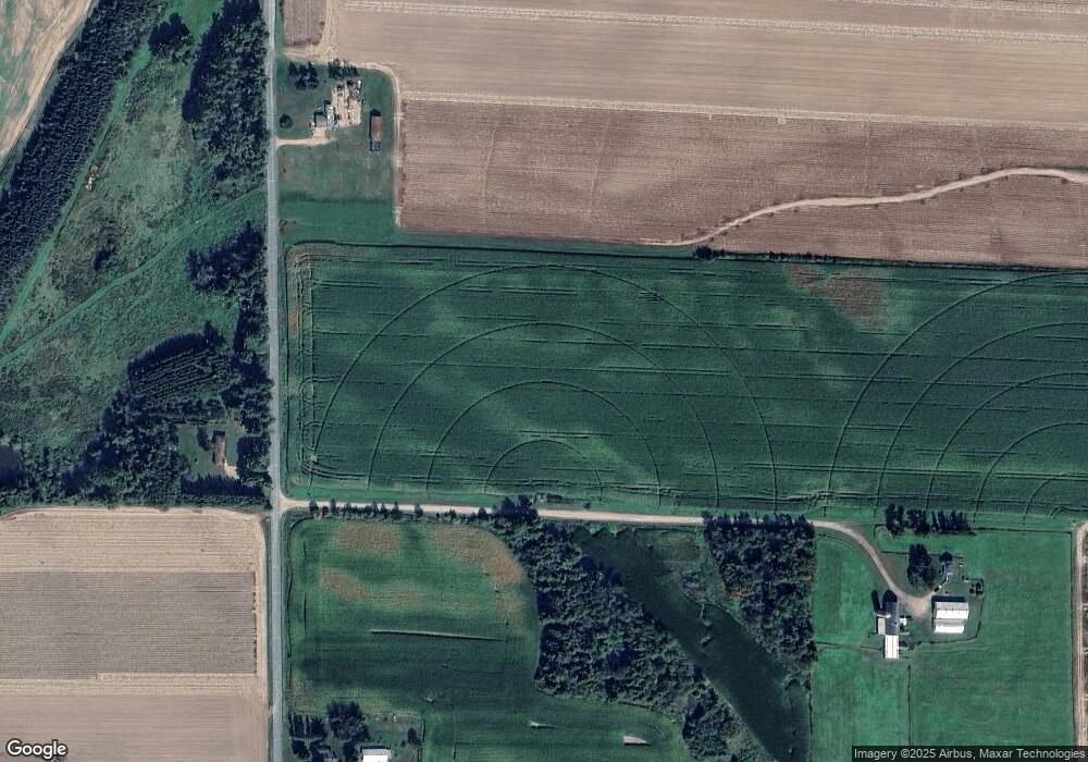
Map
Nearby Homes
- N5134 Star Neva Rd
- n4704 U S 45
- W9196 Birchwood Ln
- 725 Ar-Vi Ln
- N5450 Cth E
- N7680 Cth E
- 000 Industrial Park Rd
- 0 Highway 45
- 222 North Ave
- W8897 Cth F
- 228 North Ave
- 1813 Neva Rd
- Lot 9 Ackley St
- 1802 Neva Rd
- 000 Center St
- 826 Eastview Dr
- N2862 Crestwood Rd
- N3172 County Hwy S
- ON Cth B
- 1230 N Superior St