N5229 1220th St Prescott, WI 54021
Estimated Value: $551,000 - $1,314,000
--
Bed
--
Bath
--
Sq Ft
35.85
Acres
About This Home
This home is located at N5229 1220th St, Prescott, WI 54021 and is currently estimated at $947,062. N5229 1220th St is a home located in Pierce County with nearby schools including Malone Elementary School, Prescott Middle School, and Prescott High School.
Ownership History
Date
Name
Owned For
Owner Type
Purchase Details
Closed on
Dec 22, 2014
Sold by
Boles Jason M and Boles Angela
Bought by
Boles Lee
Current Estimated Value
Home Financials for this Owner
Home Financials are based on the most recent Mortgage that was taken out on this home.
Original Mortgage
$225,000
Interest Rate
3.97%
Mortgage Type
Future Advance Clause Open End Mortgage
Purchase Details
Closed on
Sep 29, 2006
Sold by
Pinto Charles
Bought by
Boles Jason M and Boles Angela K
Home Financials for this Owner
Home Financials are based on the most recent Mortgage that was taken out on this home.
Original Mortgage
$53,700
Interest Rate
6.58%
Mortgage Type
Purchase Money Mortgage
Create a Home Valuation Report for This Property
The Home Valuation Report is an in-depth analysis detailing your home's value as well as a comparison with similar homes in the area
Home Values in the Area
Average Home Value in this Area
Purchase History
| Date | Buyer | Sale Price | Title Company |
|---|---|---|---|
| Boles Lee | $500,000 | None Available | |
| Boles Jason M | $53,000 | None Available |
Source: Public Records
Mortgage History
| Date | Status | Borrower | Loan Amount |
|---|---|---|---|
| Closed | Boles Lee | $225,000 | |
| Closed | Boles Lee | $250,000 | |
| Previous Owner | Boles Jason M | $53,700 |
Source: Public Records
Tax History Compared to Growth
Tax History
| Year | Tax Paid | Tax Assessment Tax Assessment Total Assessment is a certain percentage of the fair market value that is determined by local assessors to be the total taxable value of land and additions on the property. | Land | Improvement |
|---|---|---|---|---|
| 2024 | $11,285 | $739,100 | $185,300 | $553,800 |
| 2023 | $10,453 | $739,100 | $185,300 | $553,800 |
| 2022 | $9,110 | $739,100 | $185,300 | $553,800 |
| 2021 | $11,027 | $557,700 | $177,200 | $380,500 |
| 2020 | $12,040 | $557,700 | $177,200 | $380,500 |
| 2019 | $11,339 | $557,700 | $177,200 | $380,500 |
| 2018 | $10,927 | $557,700 | $177,200 | $380,500 |
| 2017 | $11,400 | $557,700 | $177,200 | $380,500 |
| 2016 | $10,778 | $557,700 | $177,200 | $380,500 |
| 2015 | $10,822 | $557,700 | $177,200 | $380,500 |
| 2014 | $9,596 | $499,200 | $118,700 | $380,500 |
| 2013 | $8,974 | $499,200 | $118,700 | $380,500 |
Source: Public Records
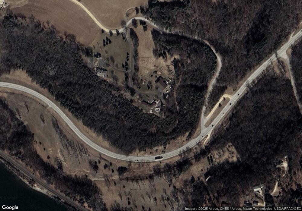
Map
Nearby Homes
- W11651 State Road 35
- N5687 1210th St
- W11980 565th Ave
- W11540 504th Ave
- 490 Sea Wing Blvd
- 2117 Pleasant Dr
- 2113 Pleasant Dr
- 470 Sea Wing Blvd
- 2101 Pleasant Dr
- 2100 Pleasant Dr
- 452 Delta Queen Ave
- 2092 Pleasant Dr
- 2088 Pleasant Dr
- 2089 Pleasant Dr
- 2085 Pleasant Dr
- 468 Delta Queen Ave
- 580 Northern Lights Dr
- 470 Delta Queen Ave
- 474 Delta Queen Ave
- The Augusta Plan at Great Rivers
- N5235 1220th St
- W12136 508th Ave
- W12104 508th Ave
- W12044 Wisconsin 35
- W12122 508th Ave
- W12135 508th Ave
- W12129 508th Ave
- W12111 508th Ave
- W12098 508th Ave
- N5099 1208th St
- W12056 508th Ave
- N5096 1208th St
- W12099 508th Ave
- N5094 1208th St
- N5092 1208th St
- W12370 State Road 35
- N5299 1220th St
- N5081 1208th St
- W12087 508th Ave
- W12077 508th Ave