N5280 1040th St Prescott, WI 54021
Estimated Value: $684,607 - $724,000
4
Beds
3
Baths
3,600
Sq Ft
$195/Sq Ft
Est. Value
About This Home
This home is located at N5280 1040th St, Prescott, WI 54021 and is currently estimated at $703,152, approximately $195 per square foot. N5280 1040th St is a home located in Pierce County with nearby schools including Malone Elementary School, Prescott Middle School, and Prescott High School.
Ownership History
Date
Name
Owned For
Owner Type
Purchase Details
Closed on
May 29, 2019
Sold by
Karnowski Cami C
Bought by
Ohlman Chadd and Ohlman Lindsay
Current Estimated Value
Create a Home Valuation Report for This Property
The Home Valuation Report is an in-depth analysis detailing your home's value as well as a comparison with similar homes in the area
Home Values in the Area
Average Home Value in this Area
Purchase History
| Date | Buyer | Sale Price | Title Company |
|---|---|---|---|
| Ohlman Chadd | $475,000 | Titlesmart |
Source: Public Records
Tax History Compared to Growth
Tax History
| Year | Tax Paid | Tax Assessment Tax Assessment Total Assessment is a certain percentage of the fair market value that is determined by local assessors to be the total taxable value of land and additions on the property. | Land | Improvement |
|---|---|---|---|---|
| 2024 | $7,914 | $518,300 | $68,900 | $449,400 |
| 2023 | $7,330 | $518,300 | $68,900 | $449,400 |
| 2022 | $6,303 | $518,300 | $68,900 | $449,400 |
| 2021 | $6,008 | $311,100 | $48,300 | $262,800 |
| 2020 | $6,611 | $311,100 | $48,300 | $262,800 |
| 2019 | $6,209 | $311,100 | $48,300 | $262,800 |
| 2018 | $4,725 | $247,900 | $48,300 | $199,600 |
| 2017 | $4,953 | $247,900 | $48,300 | $199,600 |
| 2016 | $4,673 | $247,900 | $48,300 | $199,600 |
| 2015 | $4,695 | $247,900 | $48,300 | $199,600 |
| 2014 | $4,656 | $247,900 | $48,300 | $199,600 |
| 2013 | $4,360 | $247,900 | $48,300 | $199,600 |
Source: Public Records
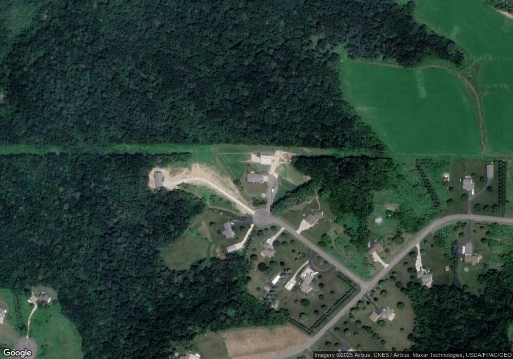
Map
Nearby Homes
- W10415 521st Ave
- W10664 566th Ave
- N5449 County Rd E
- xxxxx 566th Ave
- N5620 1090th St
- W10780 468th Ave
- N4848 1110th St
- W11011 470th Ave
- N5887 1110th St
- W11540 504th Ave
- N4387 1115th St
- W11980 565th Ave
- N5687 1210th St
- W9050 372nd Ave
- W10005 710th Ave
- 490 Sea Wing Blvd
- 470 Sea Wing Blvd
- 2117 Pleasant Dr
- 452 Delta Queen Ave
- 2113 Pleasant Dr
- N5281 1040th St
- N5281 1040th St
- xxx 1040th
- N5264 1040th St
- N5265 1040th St
- XXXX Big River Rd
- N5251 1040th St
- 5281 1040th St
- W10370 521st Ave
- Lot 32 521st Ave
- W10391 521st Ave
- W10450 521st Ave
- W10365 521st Ave
- W10405 521st Ave
- W10350 521st Ave
- N5281 Big River Rd
- W10550 521st Ave
- W10345 521st Ave
- W10320 521st Ave
- W10554 521st Ave