N5318 Locust Dr West Salem, WI 54669
Estimated Value: $313,732 - $382,000
--
Bed
--
Bath
--
Sq Ft
1.09
Acres
About This Home
This home is located at N5318 Locust Dr, West Salem, WI 54669 and is currently estimated at $355,683. N5318 Locust Dr is a home located in La Crosse County with nearby schools including West Salem Elementary School, West Salem Middle School, and West Salem High School.
Ownership History
Date
Name
Owned For
Owner Type
Purchase Details
Closed on
Nov 10, 2011
Sold by
Leahy Matthew A and Leahy Rhonda
Bought by
Lange David C
Current Estimated Value
Home Financials for this Owner
Home Financials are based on the most recent Mortgage that was taken out on this home.
Original Mortgage
$148,995
Outstanding Balance
$101,894
Interest Rate
4.08%
Mortgage Type
VA
Estimated Equity
$253,789
Create a Home Valuation Report for This Property
The Home Valuation Report is an in-depth analysis detailing your home's value as well as a comparison with similar homes in the area
Home Values in the Area
Average Home Value in this Area
Purchase History
| Date | Buyer | Sale Price | Title Company |
|---|---|---|---|
| Lange David C | $145,900 | Town N Country Title Llc |
Source: Public Records
Mortgage History
| Date | Status | Borrower | Loan Amount |
|---|---|---|---|
| Open | Lange David C | $148,995 |
Source: Public Records
Tax History Compared to Growth
Tax History
| Year | Tax Paid | Tax Assessment Tax Assessment Total Assessment is a certain percentage of the fair market value that is determined by local assessors to be the total taxable value of land and additions on the property. | Land | Improvement |
|---|---|---|---|---|
| 2023 | $2,859 | $203,500 | $29,100 | $174,400 |
| 2022 | $2,589 | $203,500 | $29,100 | $174,400 |
| 2021 | $2,736 | $203,400 | $29,000 | $174,400 |
| 2020 | $2,697 | $203,400 | $29,000 | $174,400 |
| 2019 | $2,461 | $141,500 | $20,600 | $120,900 |
| 2018 | $2,241 | $141,500 | $20,600 | $120,900 |
| 2017 | $2,059 | $137,300 | $20,600 | $116,700 |
| 2016 | $2,378 | $137,300 | $20,600 | $116,700 |
| 2015 | $2,297 | $137,300 | $20,600 | $116,700 |
| 2014 | $2,184 | $137,300 | $20,600 | $116,700 |
| 2013 | $2,174 | $137,300 | $20,600 | $116,700 |
Source: Public Records
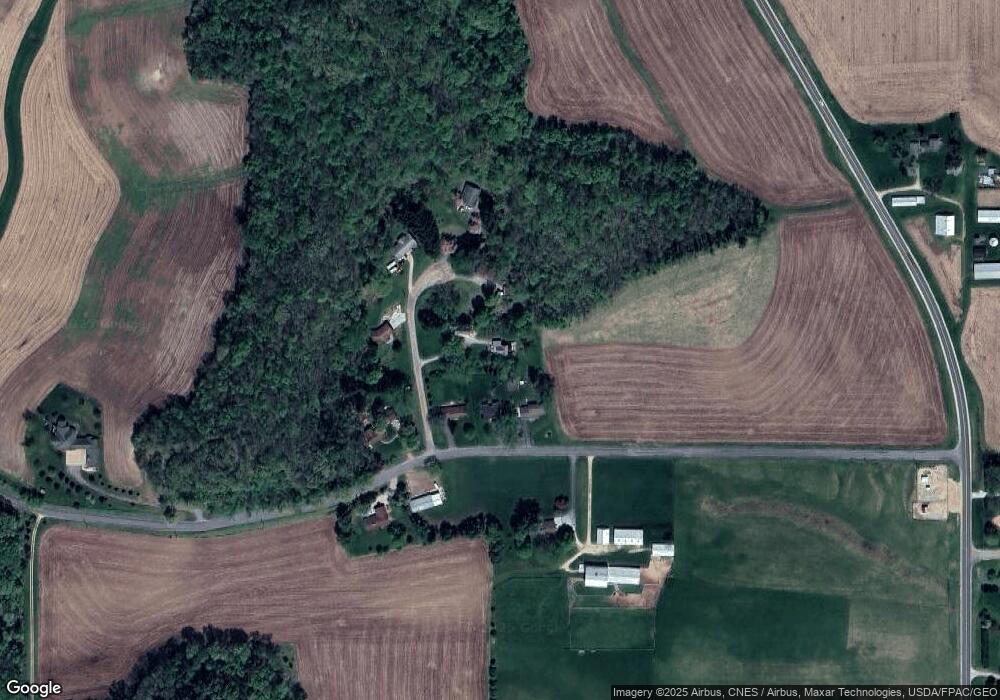
Map
Nearby Homes
- 1062 John St
- 715 Lee Dr
- 800 West Ave N Unit 27
- Lot 4 Heritage Blvd
- Lot 2 Heritage Blvd
- 112 Meadow Ln N
- 1005 Willow Way
- N5105 Leonard St N
- 520 Garland St W
- 135 Marigold Ln S
- 842 Winchester St
- 212 Youlon St N
- 103 Leonard St N
- 103 Leonard St S
- 158 Leonard St S
- W3233 State Road 16 -
- 145 Ofallon Ct E
- W2873 Buol Rd
- Lt# 56 Grand Glen Ct
- 4125 Madison Heights
- N5340 Locust Dr
- W3998 Gills Coulee Rd
- w 3998 Gills Coulee Rd
- W4006 Gills Coulee Rd
- W3992 Gills Coulee Rd
- N5325 Locust Dr
- N5331 Locust Dr
- W4018 Gills Coulee Rd
- W3981 Gills Coulee Rd
- W4023 Gills Coulee Rd
- W4080 Gills Coulee Rd Unit W4080
- W4080 Gills Coulee Rd
- N5292 County Road M
- N5389 County Road M
- N5229 1st Ave
- N5219 1st Ave
- N5211 1st Ave
- N5228 1st Ave
- N5220 1st Ave
- W3928 Raymer Rd