Estimated Value: $87,000 - $180,000
--
Bed
--
Bath
--
Sq Ft
5,706
Sq Ft Lot
About This Home
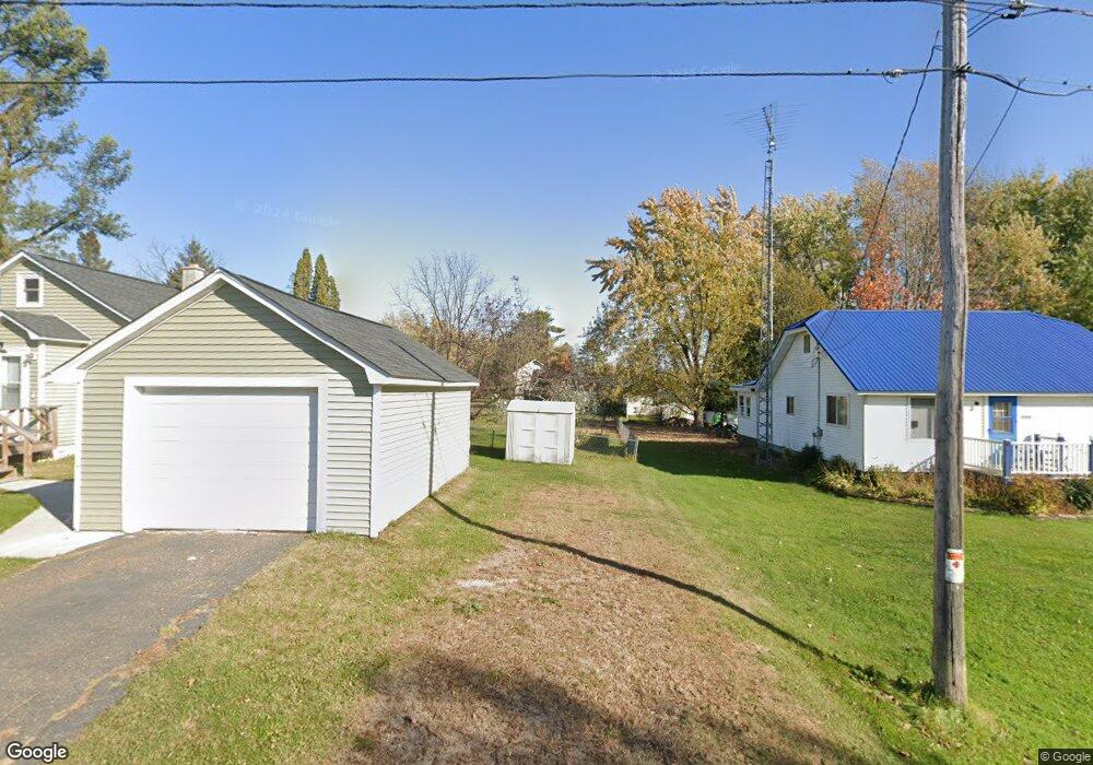
This home is located at N5334 Cedar St, Tony, WI 54563 and is currently estimated at $127,177. N5334 Cedar St is a home located in Rusk County with nearby schools including Flambeau Elementary School and Flambeau Middle School.
Ownership History
Date
Name
Owned For
Owner Type
Purchase Details
Closed on
May 24, 2021
Sold by
Bischoff Nancy E
Bought by
Bischoff Jeremy R and Bischoff Susan E
Current Estimated Value
Purchase Details
Closed on
Oct 19, 2015
Sold by
Schmidt Brandt Edwin and Schmidt Elizabeth Mary
Bought by
Bischoff Nancy E
Home Financials for this Owner
Home Financials are based on the most recent Mortgage that was taken out on this home.
Original Mortgage
$36,000
Outstanding Balance
$14,620
Interest Rate
3.91%
Mortgage Type
New Conventional
Estimated Equity
$112,557
Purchase Details
Closed on
Aug 7, 2013
Sold by
Novak Douglas M and Novak Ann Marie F
Bought by
Schmidt Brant Edwin and Schmidt Elizabeth Mary
Home Financials for this Owner
Home Financials are based on the most recent Mortgage that was taken out on this home.
Original Mortgage
$32,000
Interest Rate
4.53%
Mortgage Type
Purchase Money Mortgage
Create a Home Valuation Report for This Property
The Home Valuation Report is an in-depth analysis detailing your home's value as well as a comparison with similar homes in the area
Home Values in the Area
Average Home Value in this Area
Purchase History
| Date | Buyer | Sale Price | Title Company |
|---|---|---|---|
| Bischoff Jeremy R | -- | None Available | |
| Bischoff Nancy E | -- | Attorney | |
| Schmidt Brant Edwin | -- | -- |
Source: Public Records
Mortgage History
| Date | Status | Borrower | Loan Amount |
|---|---|---|---|
| Open | Bischoff Nancy E | $36,000 | |
| Previous Owner | Schmidt Brant Edwin | $32,000 |
Source: Public Records
Tax History Compared to Growth
Tax History
| Year | Tax Paid | Tax Assessment Tax Assessment Total Assessment is a certain percentage of the fair market value that is determined by local assessors to be the total taxable value of land and additions on the property. | Land | Improvement |
|---|---|---|---|---|
| 2024 | $711 | $56,500 | $3,000 | $53,500 |
| 2023 | $574 | $56,500 | $3,000 | $53,500 |
| 2022 | $596 | $40,300 | $1,500 | $38,800 |
| 2021 | $619 | $40,300 | $1,500 | $38,800 |
| 2020 | $665 | $40,300 | $1,500 | $38,800 |
| 2019 | $596 | $40,300 | $1,500 | $38,800 |
| 2018 | $655 | $40,300 | $1,500 | $38,800 |
| 2017 | $623 | $40,300 | $1,500 | $38,800 |
| 2016 | $671 | $40,300 | $1,500 | $38,800 |
| 2015 | $1,066 | $40,300 | $1,500 | $38,800 |
| 2014 | $754 | $40,300 | $1,500 | $38,800 |
| 2013 | $824 | $40,300 | $1,500 | $38,800 |
Source: Public Records
Map
Nearby Homes
- N6004 Thronson Dr
- W6825 Lakewood Blvd
- Lot 5 Fairway Dr
- 0 Birchwood Ln
- Lot 6 Mae Rd W
- N6264 County Road X W
- W7753 Old 14 Rd
- N5270 Riverview Rd
- 301 E 15th St N
- 7835 Old 14 Rd
- N3711 Cloverland Rd
- 1300 River Ave E
- 9636 W Port Arthur Rd
- 1108 and 1108.5 Menasha Ave E Unit 2
- 1005 E Bruno
- 1229 Eagle Ct
- 1410 Agnes Ave
- 000 E 10th St N
- 1202 Oakwood Dr
- Lot 4 Bruno Ave
- N5328 Cedar St
- N5333 Oak St
- W6289 Central Ave
- N5335 Cedar St
- N5341 Cedar St
- 5341 Cedar St
- N5349 Oak St
- N5321 Cedar St
- N5319 Oak St
- W6265 Central Ave
- N5349 Maple St
- N5336 Maple St
- N5340 Maple St
- W6241 Central Ave
- N5335 Linden St
- N5335 Linden St
- N5323 Linden St
- N5317 Linden St
- N6161 Mae Rd W
- LOT 13 Mae Rd W