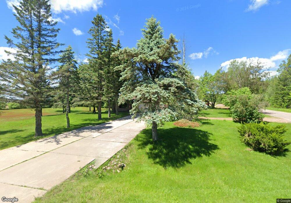
N5490 State Highway 52 Unit N5490 Bryant, WI 54418
Estimated Value: $315,000 - $372,000
--
Bed
2
Baths
--
Sq Ft
2.02
Acres
About This Home
This home is located at N5490 State Highway 52 Unit N5490, Bryant, WI 54418 and is currently estimated at $335,226. N5490 State Highway 52 Unit N5490 is a home located in Langlade County with nearby schools including Antigo High School.
Ownership History
Date
Name
Owned For
Owner Type
Purchase Details
Closed on
Jun 14, 2022
Sold by
Kolpack Jenny L
Bought by
Schroepfer Travis J
Current Estimated Value
Purchase Details
Closed on
Mar 3, 2022
Sold by
Kolpack Rodney N
Bought by
Kolpack Jenny L
Purchase Details
Closed on
Jun 27, 2011
Sold by
Wiegert Mary Ann and Wiegert Richard
Bought by
Kolpack Rodney N and Kolpack Jenny L
Home Financials for this Owner
Home Financials are based on the most recent Mortgage that was taken out on this home.
Original Mortgage
$121,051
Interest Rate
3.93%
Purchase Details
Closed on
Jul 21, 2006
Sold by
Burkhart Edwin and Burkhart Joyce
Bought by
Wiegert Terrance L and Wiegert Mary Ann
Create a Home Valuation Report for This Property
The Home Valuation Report is an in-depth analysis detailing your home's value as well as a comparison with similar homes in the area
Home Values in the Area
Average Home Value in this Area
Purchase History
| Date | Buyer | Sale Price | Title Company |
|---|---|---|---|
| Schroepfer Travis J | $231,000 | Michael B. Winter | |
| Kolpack Jenny L | $101,500 | Michael B. Winter | |
| Kolpack Rodney N | -- | Forest Abstract Co, 211 East | |
| Wiegert Terrance L | -- | Langlade Abstract & Title, C |
Source: Public Records
Mortgage History
| Date | Status | Borrower | Loan Amount |
|---|---|---|---|
| Previous Owner | Kolpack Rodney N | $121,051 | |
| Closed | Wiegert Terrance L | $0 |
Source: Public Records
Tax History Compared to Growth
Tax History
| Year | Tax Paid | Tax Assessment Tax Assessment Total Assessment is a certain percentage of the fair market value that is determined by local assessors to be the total taxable value of land and additions on the property. | Land | Improvement |
|---|---|---|---|---|
| 2024 | $3,028 | $248,300 | $13,900 | $234,400 |
| 2023 | $2,365 | $180,900 | $11,000 | $169,900 |
| 2022 | $2,185 | $181,300 | $11,000 | $170,300 |
| 2021 | $2,290 | $181,300 | $11,000 | $170,300 |
| 2020 | $2,231 | $145,300 | $8,200 | $137,100 |
| 2019 | $2,019 | $145,300 | $8,200 | $137,100 |
| 2018 | $1,940 | $145,300 | $8,200 | $137,100 |
| 2016 | $2,051 | $145,300 | $8,200 | $137,100 |
| 2015 | $2,281 | $168,000 | $9,300 | $158,700 |
| 2014 | $2,329 | $168,000 | $9,300 | $158,700 |
| 2013 | $2,397 | $168,000 | $9,300 | $158,700 |
Source: Public Records
Map
Nearby Homes
- W5880 Old Rd E
- N3172 County Hwy S
- W4210 County Road A
- N5134 Star Neva Rd
- OFF Piela Ln
- W9196 Birchwood Ln
- N510 County Hwy S
- N2862 Crestwood Rd
- W8897 Cth F
- 725 Ar-Vi Ln
- n4704 U S 45
- W5965 Gureski Rd
- N5450 Cth E
- N5467 Plzak Ln
- 0 Highway 45
- N9061 Schmidt Dr
- 000 Industrial Park Rd
- N6136 Burgert Ln
- 826 Eastview Dr
- W3174 W Hollister Rd
- N5490 State Highway 52
- N5490 State Highway 52
- N5490 State Highway 52 Unit N5490
- N5490 State Highway 52
- N5497 Burkhart Rd
- N5506 Burkhart Rd
- W6589 Sherry Rd
- W6556 State Highway 64
- W6470 Sherry Rd
- N5406 State Highway 52
- N5406 State Highway 52
- W6474 Kentwoods Ln
- W6639 State Highway 64
- W6492 Sherry Rd
- N5398 State Highway 52
- N5398 State Highway 52
- N5344 Kentwoods Rd
- W6751 5th Avenue Rd
- W6454 Sherry Rd
- N5560 State Highway 52
