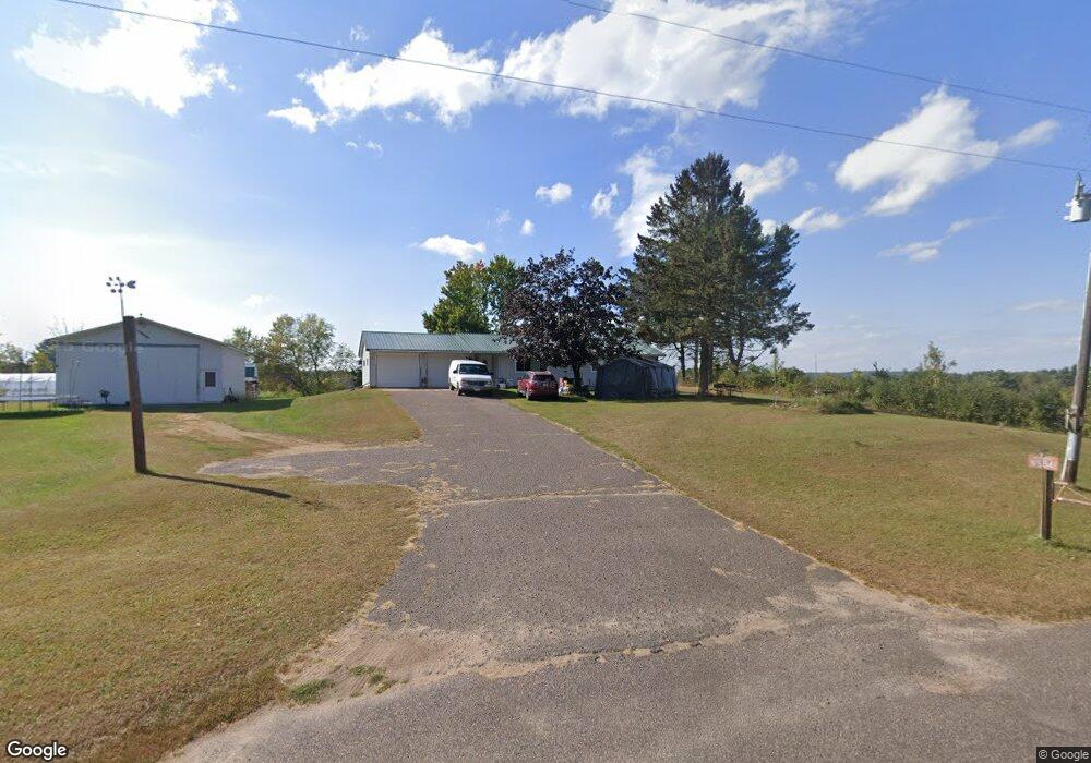
N5541 370th St Menomonie, WI 54751
Estimated Value: $251,000 - $631,000
--
Bed
--
Bath
--
Sq Ft
20
Acres
About This Home
This home is located at N5541 370th St, Menomonie, WI 54751 and is currently estimated at $424,761. N5541 370th St is a home located in Dunn County with nearby schools including River Heights Elementary School, Menomonie Middle School, and Menomonie High School.
Ownership History
Date
Name
Owned For
Owner Type
Purchase Details
Closed on
Jan 10, 2025
Sold by
Yang Tina H
Bought by
Yang Youa B
Current Estimated Value
Purchase Details
Closed on
Sep 16, 2024
Sold by
Yang Youa B
Bought by
Yang Tong
Purchase Details
Closed on
Jun 26, 2020
Sold by
Yang Bao Her
Bought by
Yang Youa B Tina H
Home Financials for this Owner
Home Financials are based on the most recent Mortgage that was taken out on this home.
Interest Rate
3.07%
Create a Home Valuation Report for This Property
The Home Valuation Report is an in-depth analysis detailing your home's value as well as a comparison with similar homes in the area
Home Values in the Area
Average Home Value in this Area
Purchase History
| Date | Buyer | Sale Price | Title Company |
|---|---|---|---|
| Yang Youa B | $206,700 | Dunn County Title Services, In | |
| Yang Tong | $23,000 | Dunn County Title Services, In | |
| Yang Youa B Tina H | $108,000 | -- | |
| Yang Youa B Tina H | $108,000 | -- |
Source: Public Records
Mortgage History
| Date | Status | Borrower | Loan Amount |
|---|---|---|---|
| Previous Owner | Yang Youa B Tina H | -- |
Source: Public Records
Tax History Compared to Growth
Tax History
| Year | Tax Paid | Tax Assessment Tax Assessment Total Assessment is a certain percentage of the fair market value that is determined by local assessors to be the total taxable value of land and additions on the property. | Land | Improvement |
|---|---|---|---|---|
| 2024 | $3,714 | $206,700 | $81,000 | $125,700 |
| 2023 | $3,415 | $206,700 | $81,000 | $125,700 |
| 2022 | $3,343 | $206,700 | $81,000 | $125,700 |
| 2021 | $3,643 | $206,700 | $81,000 | $125,700 |
| 2020 | $3,881 | $206,700 | $81,000 | $125,700 |
| 2019 | $2,771 | $161,700 | $36,000 | $125,700 |
| 2018 | $2,571 | $161,700 | $36,000 | $125,700 |
| 2017 | $2,708 | $206,700 | $81,000 | $125,700 |
| 2016 | $2,696 | $161,700 | $36,000 | $125,700 |
| 2015 | $2,925 | $167,600 | $36,000 | $131,600 |
| 2014 | $2,871 | $167,600 | $36,000 | $131,600 |
| 2013 | $3,164 | $167,600 | $36,000 | $131,600 |
Source: Public Records
Map
Nearby Homes
- 568 N Midway Rd
- Lot-10 578th Ave
- Lot-1 578th Ave
- 1412 Brickyard Rd
- 1112 Timber Path
- 213 Amber View St
- Pt Lot 1 CSM 2811 Amber View St
- 210 Amber View St
- 226 Amber View St
- Pt of Lot 1 CSM 2811 Amber View St
- 1121 River Heights Rd
- 422 12th Ave W
- 422 12th Ave W Unit 1
- 519 Grandview Heights Ct
- 207 12th Ave W
- 844 Broadway St N
- 1321 2nd St W
- Lots 1-4 Tainter St NE
- 1026 Stout St
- 2003 Broadway St S
- N5540 370th St
- E3717 550th Ave
- E3725 550th Ave
- E3686 550th Ave
- E3720 550th Ave
- N5612 370th St
- E3649 550th Ave
- E3634 550th Ave
- E3779 550th Ave
- E3774 550th Ave
- E3774 550th Ave
- E3774 550th Ave
- N5423 370th St
- N5423 370th St
- Lot 1 370th St
- Lot 2 370th St
- E3802 550th Ave
- E3574 550th Ave
- E3853 550th Ave
- E3853 550th Ave