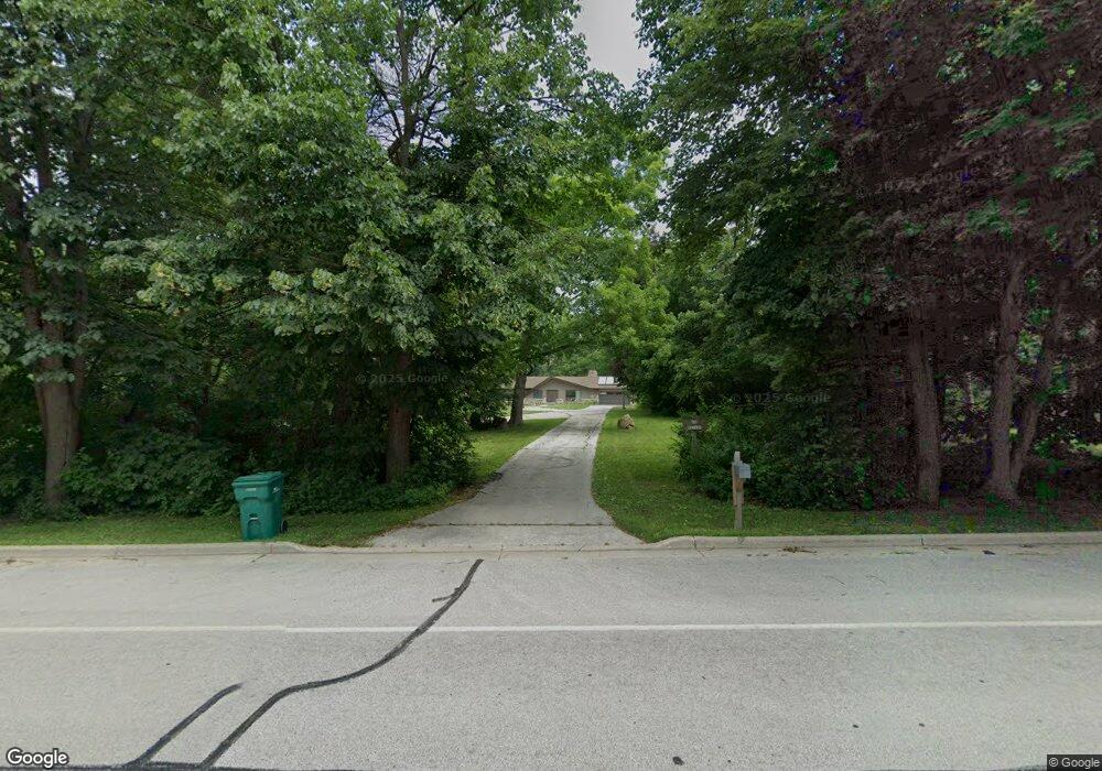
N56W21640 Silver Spring Dr Menomonee Falls, WI 53051
Estimated Value: $730,000 - $816,000
4
Beds
5
Baths
3,062
Sq Ft
$249/Sq Ft
Est. Value
About This Home
This home is located at N56W21640 Silver Spring Dr, Menomonee Falls, WI 53051 and is currently estimated at $763,627, approximately $249 per square foot. N56W21640 Silver Spring Dr is a home located in Waukesha County with nearby schools including Lannon Elementary School, Templeton Middle School, and Hamilton High School.
Ownership History
Date
Name
Owned For
Owner Type
Purchase Details
Closed on
Feb 5, 2018
Sold by
Gerovae Jospeh Peter and Gerovae Laura Beth
Bought by
Gerovac Sarah R and Gerovac Kurt T
Current Estimated Value
Purchase Details
Closed on
Nov 6, 1997
Sold by
Kuhlman Ronald H and Kuhlman Ronald
Bought by
Gerovac Joseph Peter and Gerovac Laura Beth
Home Financials for this Owner
Home Financials are based on the most recent Mortgage that was taken out on this home.
Original Mortgage
$200,000
Interest Rate
6.85%
Purchase Details
Closed on
Jun 28, 1996
Sold by
Mclaughlin Edward P
Bought by
Kuhlman Ronald H
Create a Home Valuation Report for This Property
The Home Valuation Report is an in-depth analysis detailing your home's value as well as a comparison with similar homes in the area
Home Values in the Area
Average Home Value in this Area
Purchase History
| Date | Buyer | Sale Price | Title Company |
|---|---|---|---|
| Gerovac Sarah R | -- | None Available | |
| Gerovac Joseph Peter | $250,000 | -- | |
| Kuhlman Ronald H | -- | -- |
Source: Public Records
Mortgage History
| Date | Status | Borrower | Loan Amount |
|---|---|---|---|
| Previous Owner | Gerovac Joseph Peter | $200,000 |
Source: Public Records
Tax History Compared to Growth
Tax History
| Year | Tax Paid | Tax Assessment Tax Assessment Total Assessment is a certain percentage of the fair market value that is determined by local assessors to be the total taxable value of land and additions on the property. | Land | Improvement |
|---|---|---|---|---|
| 2024 | $6,901 | $610,200 | $147,800 | $462,400 |
| 2023 | $6,653 | $610,200 | $147,800 | $462,400 |
| 2022 | $6,798 | $420,500 | $102,100 | $318,400 |
| 2021 | $6,211 | $408,200 | $102,100 | $306,100 |
| 2020 | $6,200 | $408,200 | $102,100 | $306,100 |
| 2019 | $6,253 | $408,200 | $102,100 | $306,100 |
| 2018 | $6,030 | $408,200 | $102,100 | $306,100 |
| 2017 | $5,846 | $408,200 | $102,100 | $306,100 |
| 2016 | $5,939 | $405,200 | $102,100 | $303,100 |
| 2015 | $6,227 | $405,200 | $102,100 | $303,100 |
| 2014 | $6,903 | $405,200 | $102,100 | $303,100 |
| 2013 | $6,903 | $405,200 | $102,100 | $303,100 |
Source: Public Records
Map
Nearby Homes
- W220N5459 Town Line Rd
- W215N5363 Ada Ct
- N56W21025 Carnoustie Way
- W215N5353 Ada Ct
- N56W21027 Carnoustie Way
- The Wicklow Plan at Fox River Falls
- The Walnut Plan at Fox River Falls
- The Sycamore Plan at Fox River Falls
- The Sweetbriar Plan at Fox River Falls
- The Savannah Plan at Fox River Falls
- The Mulberry Plan at Fox River Falls
- The Monterey Plan at Fox River Falls
- The Marigold Plan at Fox River Falls
- The Maple Plan at Fox River Falls
- The Lily Plan at Fox River Falls
- The Lavender Plan at Fox River Falls
- The Kendall Plan at Fox River Falls
- The Juneberry Plan at Fox River Falls
- The Holly Plan at Fox River Falls
- The Evergreen Plan at Fox River Falls
- N56W21560 Silver Spring Dr
- N56W21758 Silver Spring Dr
- N56W21514 Silver Spring Dr
- N55W21688 Adamdale Dr
- N55W21724 Adamdale Dr
- W215N5579 Kenmore Dr
- n56w Silver Spring Rd
- N55W21760 Adamdale Dr
- N56W21466 Silver Spring Dr
- N56W21796 Silver Spring Dr
- W216N5542 Adamdale Dr
- W215N5555 Kenmore Dr
- N55W21701 Adamdale Dr
- N57W21682 Memorial Ct
- W215N5556 Kenmore Dr
- N56W21471 Silver Spring Dr
- W217N5555 Adamdale Dr
- W217N5550 Adamdale Dr
- N56W21414 Silver Spring Dr
- W216N5531 Adamdale Dr