N5805 Palm Ln Shawano, WI 54166
Estimated Value: $494,000 - $532,097
--
Bed
--
Bath
--
Sq Ft
20
Acres
About This Home
This home is located at N5805 Palm Ln, Shawano, WI 54166 and is currently estimated at $513,049. N5805 Palm Ln is a home located in Shawano County with nearby schools including Hillcrest Primary School, Brener Elementary School, and Shawano Community Middle School.
Ownership History
Date
Name
Owned For
Owner Type
Purchase Details
Closed on
Aug 16, 2013
Sold by
Raddant Leory A and Raddant Betty R
Bought by
Pieper Scott D and Pieper Margaret L
Current Estimated Value
Home Financials for this Owner
Home Financials are based on the most recent Mortgage that was taken out on this home.
Original Mortgage
$225,000
Interest Rate
4.33%
Mortgage Type
New Conventional
Create a Home Valuation Report for This Property
The Home Valuation Report is an in-depth analysis detailing your home's value as well as a comparison with similar homes in the area
Home Values in the Area
Average Home Value in this Area
Purchase History
| Date | Buyer | Sale Price | Title Company |
|---|---|---|---|
| Pieper Scott D | $250,000 | Bay Title & Abstract Inc |
Source: Public Records
Mortgage History
| Date | Status | Borrower | Loan Amount |
|---|---|---|---|
| Closed | Pieper Scott D | $225,000 |
Source: Public Records
Tax History Compared to Growth
Tax History
| Year | Tax Paid | Tax Assessment Tax Assessment Total Assessment is a certain percentage of the fair market value that is determined by local assessors to be the total taxable value of land and additions on the property. | Land | Improvement |
|---|---|---|---|---|
| 2024 | $3,682 | $338,100 | $46,900 | $291,200 |
| 2023 | $3,438 | $338,300 | $47,100 | $291,200 |
| 2022 | $2,799 | $188,900 | $27,700 | $161,200 |
| 2021 | $3,105 | $189,000 | $27,800 | $161,200 |
| 2020 | $3,082 | $189,000 | $27,800 | $161,200 |
| 2019 | $2,932 | $179,800 | $18,600 | $161,200 |
| 2018 | $2,807 | $179,800 | $18,600 | $161,200 |
| 2017 | $2,913 | $179,800 | $18,600 | $161,200 |
| 2016 | $2,841 | $179,800 | $18,600 | $161,200 |
| 2015 | $2,930 | $189,100 | $27,900 | $161,200 |
| 2014 | $281,856 | $173,900 | $27,700 | $146,200 |
| 2013 | $3,153 | $173,900 | $27,700 | $146,200 |
Source: Public Records
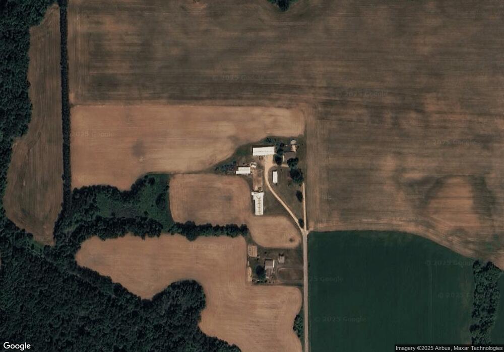
Map
Nearby Homes
- W7910 Koeller Ln
- W8141 Broadway Rd
- 672 Wolf River Ave
- W7618 Poplar Rd
- N5938 Wolf River Rd
- N6487 St 47 55 Hwy
- 114 Circle Dr
- N6002 Wolf River Rd
- 317 W 3rd St
- 414 N Lafayette St
- N4860 Rose Brook Rd
- 519 N Main St
- 531 N Main St
- 932 S River St
- Lt8 S Lafayette St
- Lt1 S Lafayette St
- 315 S Main St
- N7119 River Dr
- 606 W Stevens Ave
- 932 S Lafayette St
- N5779 Palm Ln
- W16224 Cth N
- N5860 Cypress Rd
- 0 Red River Shoreline Acres Unit 50217394
- N6045 Opperman Way
- N6037 Opperman Way
- n 6037 Opperman Way
- N6053 Opperman Way
- N6035 Opperman Way
- N6031 Opperman Way
- 0 Opperman Way Unit 50112138
- 0 Opperman Way Unit 50046896
- 0 Opperman Way Unit 50227719
- 0 Opperman Way Unit 50028022
- W8626 Oak Ave
- N6061 Opperman Way
- W8584 Timm Ln
- N6069 Opperman Way
- n 6065 Opperman Way
- N6065 Opperman Way