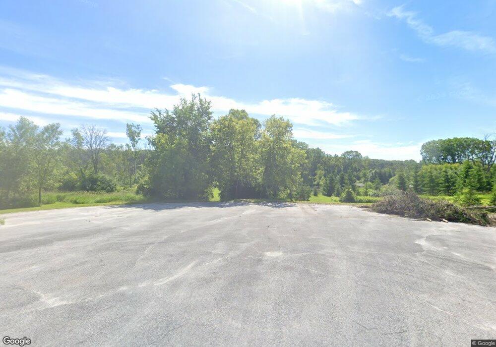
N5895 Mill Rd Sullivan, WI 53178
Estimated Value: $479,000 - $752,000
Studio
--
Bath
--
Sq Ft
20.37
Acres
About This Home
This home is located at N5895 Mill Rd, Sullivan, WI 53178 and is currently estimated at $658,467. N5895 Mill Rd is a home located in Jefferson County with nearby schools including Johnson Creek Middle & High School.
Ownership History
Date
Name
Owned For
Owner Type
Purchase Details
Closed on
Jul 16, 2011
Sold by
Altpeter Michael A and Altpeter Karen J
Bought by
Rhoads Jeffrey O
Current Estimated Value
Home Financials for this Owner
Home Financials are based on the most recent Mortgage that was taken out on this home.
Original Mortgage
$228,000
Outstanding Balance
$154,076
Interest Rate
4.52%
Mortgage Type
New Conventional
Estimated Equity
$504,391
Create a Home Valuation Report for This Property
The Home Valuation Report is an in-depth analysis detailing your home's value as well as a comparison with similar homes in the area
Home Values in the Area
Average Home Value in this Area
Purchase History
| Date | Buyer | Sale Price | Title Company |
|---|---|---|---|
| Rhoads Jeffrey O | -- | None Available |
Source: Public Records
Mortgage History
| Date | Status | Borrower | Loan Amount |
|---|---|---|---|
| Open | Rhoads Jeffrey O | $228,000 |
Source: Public Records
Tax History
| Year | Tax Paid | Tax Assessment Tax Assessment Total Assessment is a certain percentage of the fair market value that is determined by local assessors to be the total taxable value of land and additions on the property. | Land | Improvement |
|---|---|---|---|---|
| 2024 | $7,806 | $539,600 | $154,900 | $384,700 |
| 2023 | $7,776 | $539,600 | $154,900 | $384,700 |
| 2022 | $6,534 | $294,800 | $88,500 | $206,300 |
| 2021 | $6,042 | $294,800 | $88,500 | $206,300 |
| 2020 | $5,790 | $294,800 | $88,500 | $206,300 |
| 2019 | $5,388 | $294,800 | $88,500 | $206,300 |
| 2018 | $5,347 | $294,800 | $88,500 | $206,300 |
| 2017 | $5,337 | $294,800 | $88,500 | $206,300 |
| 2016 | $5,355 | $294,800 | $88,500 | $206,300 |
| 2015 | $5,459 | $294,800 | $88,500 | $206,300 |
| 2014 | $5,434 | $294,800 | $88,500 | $206,300 |
| 2013 | $4,891 | $293,600 | $88,500 | $205,100 |
Source: Public Records
Map
Nearby Homes
- W1048 Concord Center Dr
- N6291 Sunset Rd
- 631 Bakertown Dr
- N6236 Willow Glen Rd
- W2723 U S 18
- 1721 Arthur's Pass
- 1388 Mamerow Ln W
- N3913 County Road D
- N3987 Vista Rd
- 909 York Imperial Dr
- 1121 Elderberry Rd
- 1120 Elderberry Rd
- 1021 Elderberry Rd
- 1011 Elderberry Rd
- 1007 Elderberry Rd
- 997 Elderberry Rd
- 1278 Arrowood Cir W
- The Elaine Plan at Arrowood
- The Sawyer Plan at Arrowood
- The Beryl Plan at Arrowood
- N5831 Mill Rd
- N5903 Mill Rd
- N5986 Colonial Dr
- W1671 Ridge View Ln
- W1694 Ridge View Ln
- N5983 Colonial Dr
- W1737 Ridge View Ln
- N6005 Colonial Dr
- N5955 Mill Rd
- N5894 Pioneer Dr
- W1730 Ridge View Ln
- Lot 1 Mill Rd
- N6027 Colonial Dr
- n 5816 Pioneer Dr
- N6056 Pioneer Dr
- LOT 1 Colonial Dr
- Lt1 Colonial Dr
- N6069 Colonial Dr
- N6092 Pioneer Dr
- N5806 Pioneer Dr
Your Personal Tour Guide
Ask me questions while you tour the home.
