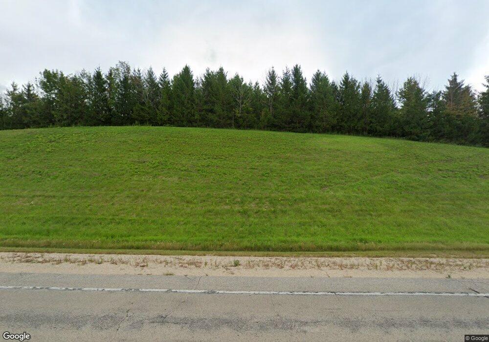
N5972 County Road P Mayville, WI 53050
Estimated Value: $437,000 - $562,407
--
Bed
--
Bath
--
Sq Ft
10
Acres
About This Home
This home is located at N5972 County Road P, Mayville, WI 53050 and is currently estimated at $504,852. N5972 County Road P is a home with nearby schools including Hartford High School.
Ownership History
Date
Name
Owned For
Owner Type
Purchase Details
Closed on
Jan 16, 2024
Sold by
Mussa Daniel R and Mussa Jeanne E
Bought by
Daniel R Mussa And Jeanne E Mussa Living Trus
Current Estimated Value
Purchase Details
Closed on
Aug 16, 2013
Sold by
Gehl Alan R and Gehl Melanie A
Bought by
Mussa Daniel R and Mussa Jeanne E
Home Financials for this Owner
Home Financials are based on the most recent Mortgage that was taken out on this home.
Original Mortgage
$87,465
Interest Rate
4.53%
Mortgage Type
Future Advance Clause Open End Mortgage
Create a Home Valuation Report for This Property
The Home Valuation Report is an in-depth analysis detailing your home's value as well as a comparison with similar homes in the area
Home Values in the Area
Average Home Value in this Area
Purchase History
| Date | Buyer | Sale Price | Title Company |
|---|---|---|---|
| Daniel R Mussa And Jeanne E Mussa Living Trus | -- | None Listed On Document | |
| Mussa Daniel R | $102,900 | None Available |
Source: Public Records
Mortgage History
| Date | Status | Borrower | Loan Amount |
|---|---|---|---|
| Previous Owner | Mussa Daniel R | $87,465 |
Source: Public Records
Tax History Compared to Growth
Tax History
| Year | Tax Paid | Tax Assessment Tax Assessment Total Assessment is a certain percentage of the fair market value that is determined by local assessors to be the total taxable value of land and additions on the property. | Land | Improvement |
|---|---|---|---|---|
| 2024 | $4,689 | $307,600 | $84,800 | $222,800 |
| 2023 | $4,208 | $307,600 | $84,800 | $222,800 |
| 2022 | $434 | $307,600 | $84,800 | $222,800 |
| 2021 | $452 | $307,600 | $84,800 | $222,800 |
| 2020 | $4,601 | $307,600 | $84,800 | $222,800 |
| 2019 | $4,711 | $307,600 | $84,800 | $222,800 |
| 2018 | $4,625 | $307,600 | $84,800 | $222,800 |
| 2017 | $4,886 | $305,000 | $84,800 | $220,200 |
| 2016 | $3,452 | $223,600 | $84,800 | $138,800 |
| 2015 | $527 | $31,300 | $31,300 | $0 |
| 2014 | $547 | $31,300 | $31,300 | $0 |
Source: Public Records
Map
Nearby Homes
- 234 Watertower Cir
- 202 East Ave
- Lt0 E Neda Rd
- N5413 County Rd S
- 0 Burkwald Ave
- N7575 Doyle Rd
- 6372 Yellowstone Trail N
- 7087 Nenno Rd
- Montrose Manor Plan at Grandview Heights
- Isabelle II Plan at Grandview Heights
- Simen Plan at Grandview Heights
- Sarah III Plan at Grandview Heights
- Balmore II Plan at Grandview Heights
- Edinburgh Plan at Grandview Heights
- Lt13 Eagle View Dr
- Lt1 Eagle View Dr
- Lt4 Eagle View Dr
- Lt1 Lilly Rd
- Lt0 Lilly Rd
- Lt2 Lilly Rd
- N5968 County Road P
- N5953 County Road P
- W1257 Iowa Rd
- N6096 County Road P
- W1305 Iowa Rd
- N5911 County Road P
- W1258 Iowa Rd
- W1276 Iowa Rd
- N6111 Town Hall Rd
- W1214 Iowa Rd
- N5947 Buchanan Rd
- N6126 Town Hall Rd
- N5935 Buchanan Rd
- W2183 State Road 33
- W2107 State Road 33
- W1194 Iowa Rd
- N6099 Buchanan Rd
- N5861 Buchanan Rd
- N5887 Buchanan Rd
- N5898 Buchanan Rd
