N6003 20th Ave Mauston, WI 53948
Estimated Value: $79,000 - $250,000
--
Bed
--
Bath
--
Sq Ft
30
Acres
About This Home
This home is located at N6003 20th Ave, Mauston, WI 53948 and is currently estimated at $147,942. N6003 20th Ave is a home with nearby schools including West Side Elementary School, Lyndon Station Elementary School, and Grayside Elementary School.
Ownership History
Date
Name
Owned For
Owner Type
Purchase Details
Closed on
Nov 7, 2024
Sold by
Craig Karen M
Bought by
Mark Clair Craig Trust Dated April 2 2
Current Estimated Value
Purchase Details
Closed on
Oct 30, 2024
Sold by
Mildred C Renn Revocable Trust Dated Sep
Bought by
Craig Karen M
Create a Home Valuation Report for This Property
The Home Valuation Report is an in-depth analysis detailing your home's value as well as a comparison with similar homes in the area
Home Values in the Area
Average Home Value in this Area
Purchase History
| Date | Buyer | Sale Price | Title Company |
|---|---|---|---|
| Mark Clair Craig Trust Dated April 2 2 | $116,800 | Attorney Peter J Curran | |
| Mark Clair Craig Trust Dated April 2 2 | $75,000 | Attorney Peter J Curran | |
| Craig Karen M | $233,500 | Attorney Peter J Curran | |
| Mildred C Renn Revocable Trust Dated Sep | $233,500 | Attorney Peter J Curran |
Source: Public Records
Tax History Compared to Growth
Tax History
| Year | Tax Paid | Tax Assessment Tax Assessment Total Assessment is a certain percentage of the fair market value that is determined by local assessors to be the total taxable value of land and additions on the property. | Land | Improvement |
|---|---|---|---|---|
| 2024 | $2,059 | $109,000 | $68,400 | $40,600 |
| 2023 | $1,890 | $109,100 | $68,500 | $40,600 |
| 2022 | $1,795 | $114,200 | $73,600 | $40,600 |
| 2021 | $1,771 | $114,200 | $73,600 | $40,600 |
| 2020 | $2,073 | $97,900 | $58,700 | $39,200 |
| 2019 | $2,024 | $97,900 | $58,700 | $39,200 |
| 2018 | $1,915 | $97,900 | $58,700 | $39,200 |
| 2017 | $1,808 | $97,900 | $58,700 | $39,200 |
| 2016 | $1,905 | $97,900 | $58,700 | $39,200 |
| 2015 | $2,219 | $97,900 | $58,700 | $39,200 |
| 2014 | $1,834 | $97,900 | $58,700 | $39,200 |
| 2013 | $2,157 | $113,000 | $73,800 | $39,200 |
Source: Public Records
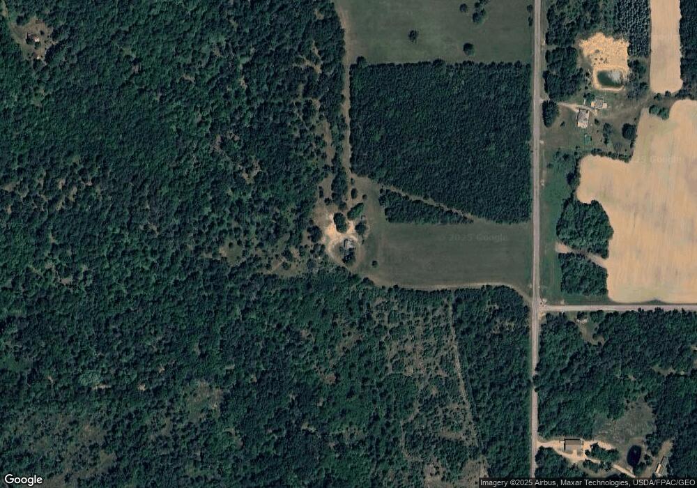
Map
Nearby Homes
- N6905 Sandstone Dr
- W3404 County Road Hh
- W4134 Vista Dr
- 9 Raccoon Ct
- 23 Quail Walk
- N7088 Timber Ridge Ln
- W5120 County Road G
- N7109 Timber Ridge Ln
- W5323 County Road G
- N7123 Timber Ridge Ln
- 2585 Dockside Dr
- N7137 Timber Ridge Ln
- N6866 16th Ave
- N7151 Timber Ridge Ln
- N7165 Timber Ridge Ln
- W6173 Meredith Rd
- 5 Acres Lot 2 County Road Hh
- 5 Acres Lot 1 County Road Hh
- 2859 County Road z
- N5793 Woodland Hills Rd
- N6064 20th Ave
- N5922 20th Ave
- 0 43rd St
- 0 43rd St Unit 818762
- 0 43rd St Unit 818767
- 0 43rd St Unit 1506143
- 0 43rd St Unit 1568757
- 0 43rd St Unit 1568751
- 0 43rd St Unit 1693198
- 0 43rd St Unit 1723977
- 0 43rd St Unit 1754820
- N6106 20th Ave
- N5898 20th Ave
- N5875 20th Ave
- N5875 20th Ave
- N6131 20th Ave
- Lot 3 20th Ave
- W4709 43rd St
- 180 Ac 43rd St
- L 1-2 20th Ave