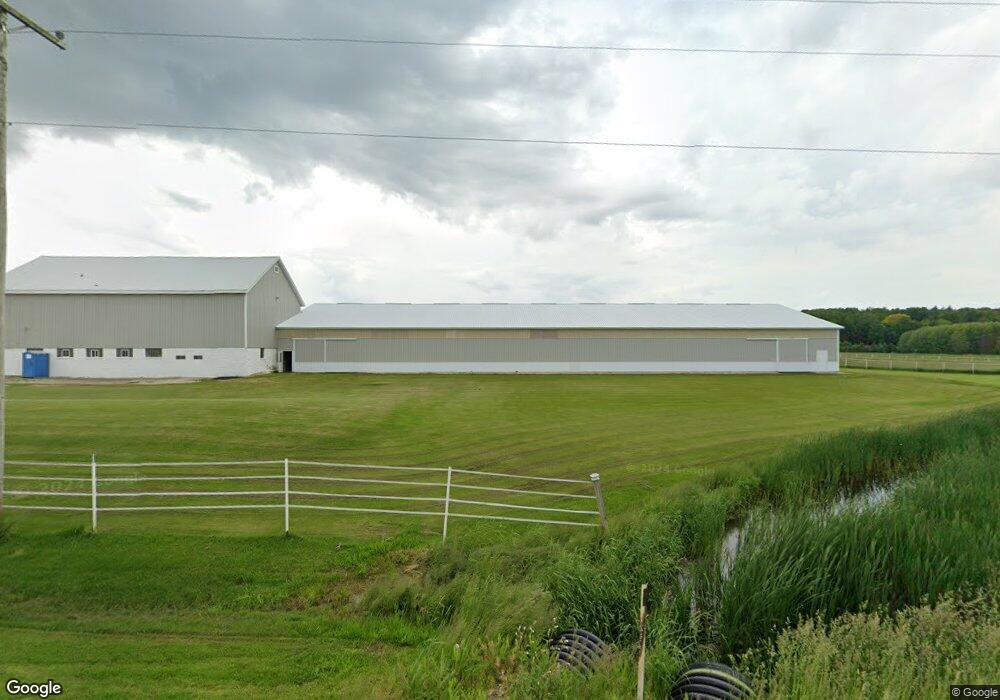
N6041 Freedom Rd Hartford, WI 53027
Estimated Value: $469,000 - $656,000
--
Bed
--
Bath
--
Sq Ft
7.28
Acres
About This Home
This home is located at N6041 Freedom Rd, Hartford, WI 53027 and is currently estimated at $559,980. N6041 Freedom Rd is a home located in Dodge County with nearby schools including Hartford High School.
Ownership History
Date
Name
Owned For
Owner Type
Purchase Details
Closed on
Jun 28, 2018
Sold by
Miller C Elizabeth
Bought by
Okonek James M and Okonek Kerry L
Current Estimated Value
Home Financials for this Owner
Home Financials are based on the most recent Mortgage that was taken out on this home.
Original Mortgage
$306,000
Outstanding Balance
$265,781
Interest Rate
4.6%
Mortgage Type
New Conventional
Estimated Equity
$294,199
Purchase Details
Closed on
May 24, 2011
Sold by
Lisko Steven M and Lisko Patricia I
Bought by
Miller C Elizabeth
Create a Home Valuation Report for This Property
The Home Valuation Report is an in-depth analysis detailing your home's value as well as a comparison with similar homes in the area
Home Values in the Area
Average Home Value in this Area
Purchase History
| Date | Buyer | Sale Price | Title Company |
|---|---|---|---|
| Okonek James M | -- | None Available | |
| Miller C Elizabeth | $350,000 | -- |
Source: Public Records
Mortgage History
| Date | Status | Borrower | Loan Amount |
|---|---|---|---|
| Open | Okonek James M | $306,000 |
Source: Public Records
Tax History Compared to Growth
Tax History
| Year | Tax Paid | Tax Assessment Tax Assessment Total Assessment is a certain percentage of the fair market value that is determined by local assessors to be the total taxable value of land and additions on the property. | Land | Improvement |
|---|---|---|---|---|
| 2024 | $4,489 | $295,000 | $78,500 | $216,500 |
| 2023 | $4,025 | $295,000 | $78,500 | $216,500 |
| 2022 | $4,153 | $295,000 | $78,500 | $216,500 |
| 2021 | $4,320 | $295,000 | $78,500 | $216,500 |
| 2020 | $4,404 | $295,000 | $78,500 | $216,500 |
| 2019 | $4,508 | $295,000 | $78,500 | $216,500 |
| 2018 | $4,410 | $294,000 | $78,500 | $215,500 |
| 2017 | $4,472 | $279,500 | $78,500 | $201,000 |
| 2016 | $4,331 | $279,500 | $78,500 | $201,000 |
| 2015 | $4,636 | $279,500 | $78,500 | $201,000 |
| 2014 | $4,881 | $279,500 | $78,500 | $201,000 |
Source: Public Records
Map
Nearby Homes
- 6372 Yellowstone Trail N
- N7575 Doyle Rd
- 7087 Nenno Rd
- 234 Watertower Cir
- 202 East Ave
- Lt0 E Neda Rd
- Lt13 Eagle View Dr
- Lt1 Eagle View Dr
- Lt4 Eagle View Dr
- N5413 County Rd S
- 0 Burkwald Ave
- Montrose Manor Plan at Grandview Heights
- Isabelle II Plan at Grandview Heights
- Simen Plan at Grandview Heights
- Sarah III Plan at Grandview Heights
- Balmore II Plan at Grandview Heights
- Edinburgh Plan at Grandview Heights
- 1762 Conestoga Ct
- 1783 Saddle Dr
- 757 Bridlewood Dr
- N5950 Freedom Rd
- W986 Iowa Rd
- W986 Iowa Rd
- W797 Iowa Rd
- W992 Iowa Rd
- W1008 Iowa Rd
- W1030 Iowa Rd
- N5852 Freedom Rd
- N5852 Freedom Rd
- N5898 Freedom Rd
- N6218 Freedom Rd
- N5828 Freedom Rd
- N6099 Buchanan Rd
- N5831 Freedom Rd
- N5935 Buchanan Rd
- N5898 Buchanan Rd
- W702 Iowa Rd
- N5814 Freedom Rd
- N5861 Buchanan Rd
- N5887 Buchanan Rd