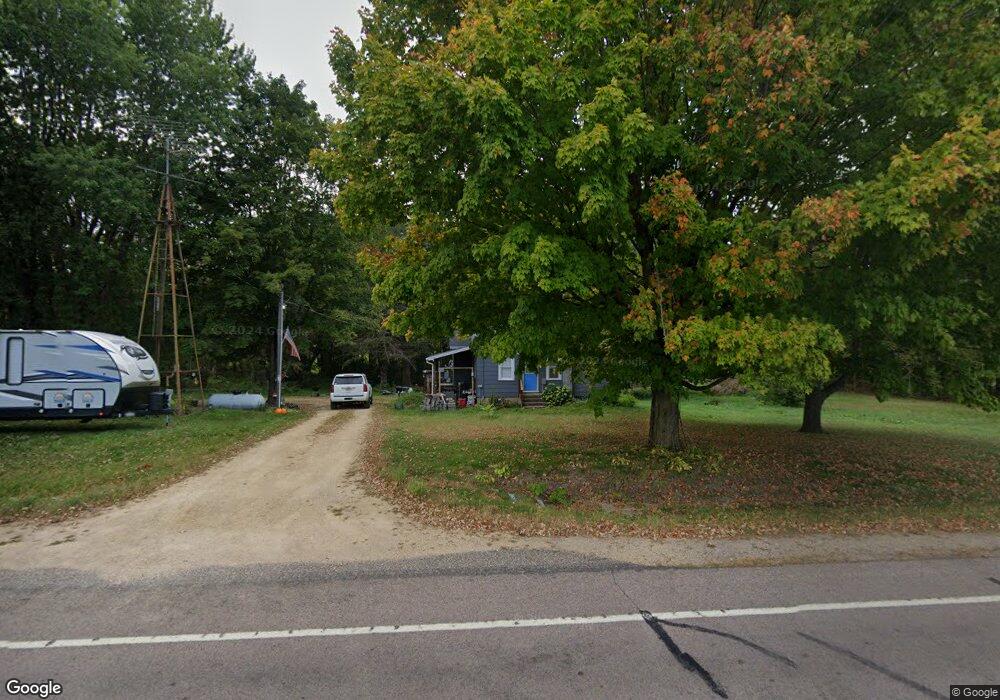
N6187 390th St Menomonie, WI 54751
Estimated Value: $181,000 - $409,000
--
Bed
--
Bath
--
Sq Ft
2.17
Acres
About This Home
This home is located at N6187 390th St, Menomonie, WI 54751 and is currently estimated at $260,205. N6187 390th St is a home located in Dunn County with nearby schools including Wakanda Elementary School, Menomonie Middle School, and Menomonie High School.
Ownership History
Date
Name
Owned For
Owner Type
Purchase Details
Closed on
Jun 19, 2020
Sold by
Path Tanner M
Bought by
Trapp Amanda M
Current Estimated Value
Home Financials for this Owner
Home Financials are based on the most recent Mortgage that was taken out on this home.
Interest Rate
3.13%
Purchase Details
Closed on
Feb 16, 2018
Sold by
Lyle Behling
Bought by
Tanner Path M
Home Financials for this Owner
Home Financials are based on the most recent Mortgage that was taken out on this home.
Original Mortgage
$101,010
Interest Rate
3.95%
Mortgage Type
New Conventional
Create a Home Valuation Report for This Property
The Home Valuation Report is an in-depth analysis detailing your home's value as well as a comparison with similar homes in the area
Home Values in the Area
Average Home Value in this Area
Purchase History
| Date | Buyer | Sale Price | Title Company |
|---|---|---|---|
| Trapp Amanda M | $170,000 | -- | |
| Trapp Amanda M | $170,000 | -- | |
| Tanner Path M | $98,000 | Westconsin Title Svcs |
Source: Public Records
Mortgage History
| Date | Status | Borrower | Loan Amount |
|---|---|---|---|
| Closed | Trapp Amanda M | -- | |
| Previous Owner | Tanner Path M | $101,010 |
Source: Public Records
Tax History Compared to Growth
Tax History
| Year | Tax Paid | Tax Assessment Tax Assessment Total Assessment is a certain percentage of the fair market value that is determined by local assessors to be the total taxable value of land and additions on the property. | Land | Improvement |
|---|---|---|---|---|
| 2024 | $1,598 | $95,400 | $25,900 | $69,500 |
| 2023 | $1,446 | $95,400 | $25,900 | $69,500 |
| 2022 | $1,424 | $95,400 | $25,900 | $69,500 |
| 2021 | $1,540 | $95,400 | $25,900 | $69,500 |
| 2020 | $1,679 | $95,400 | $25,900 | $69,500 |
| 2019 | $1,526 | $95,400 | $25,900 | $69,500 |
| 2018 | $1,417 | $95,400 | $25,900 | $69,500 |
| 2017 | $1,507 | $95,400 | $25,900 | $69,500 |
| 2016 | $1,497 | $95,400 | $25,900 | $69,500 |
| 2015 | $2,080 | $123,000 | $25,900 | $97,100 |
| 2014 | $2,037 | $123,000 | $25,900 | $97,100 |
| 2013 | $2,252 | $123,000 | $25,900 | $97,100 |
Source: Public Records
Map
Nearby Homes
- 1112 Timber Path
- E4165 667th Ave
- 568 N Midway Rd
- Lot-1 578th Ave
- 1412 Brickyard Rd
- 210 Amber View St
- 226 Amber View St
- 213 Amber View St
- Pt of Lot 1 CSM 2811 Amber View St
- Pt Lot 1 CSM 2811 Amber View St
- Lot-10 578th Ave
- 1026 Stout St
- 844 Broadway St N
- 1320 Douglas St
- Lots 1-4 Tainter St NE
- 519 Grandview Heights Ct
- 1426 Wilson St
- 1209 N Shore Dr
- 903 28th Ave N
- 1904 Pine Ave E
- Lot 6 390th St
- E6187 390th St
- 11057 390th St
- 0 390th St Unit 24407054
- 0 390th St Unit 884235
- 0 390th St Unit LOT 6
- N6201 390th St
- E3945 620th Ave
- N6223 390th St
- N6130 390th St
- E3963 620th Ave
- N6281 390th St
- E3818 650th Ave
- E3886 650th Ave
- E3818 650th St
- N6053 390th St
- N6302 390th St
- E3895 650th Ave
- N6042 390th St
- n 6042 390th St