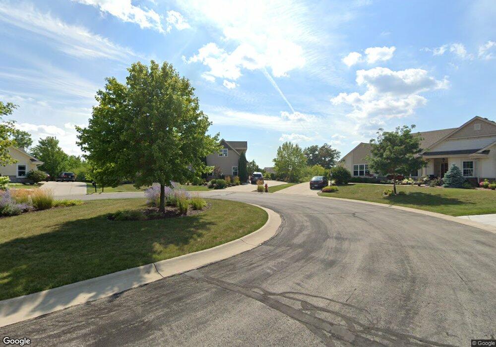
N61W13511 Cattail Ct Menomonee Falls, WI 53051
Estimated Value: $928,922 - $1,152,000
5
Beds
4
Baths
4,643
Sq Ft
$217/Sq Ft
Est. Value
About This Home
This home is located at N61W13511 Cattail Ct, Menomonee Falls, WI 53051 and is currently estimated at $1,005,231, approximately $216 per square foot. N61W13511 Cattail Ct is a home with nearby schools including North Middle School, Menomonee Falls High School, and Milwaukee Seventh-Day Adventist School.
Ownership History
Date
Name
Owned For
Owner Type
Purchase Details
Closed on
Feb 28, 2012
Sold by
Perthel Brothers Co Inc
Bought by
Hanrahan James and Hanrahan Nicole
Current Estimated Value
Home Financials for this Owner
Home Financials are based on the most recent Mortgage that was taken out on this home.
Original Mortgage
$404,700
Outstanding Balance
$259,218
Interest Rate
2.5%
Mortgage Type
New Conventional
Estimated Equity
$746,013
Purchase Details
Closed on
Dec 20, 2011
Sold by
Wexford Heights Limited Partnership
Bought by
Perthel Brothers Co Inc
Create a Home Valuation Report for This Property
The Home Valuation Report is an in-depth analysis detailing your home's value as well as a comparison with similar homes in the area
Home Values in the Area
Average Home Value in this Area
Purchase History
| Date | Buyer | Sale Price | Title Company |
|---|---|---|---|
| Hanrahan James | $506,200 | None Available | |
| Perthel Brothers Co Inc | $173,900 | None Available |
Source: Public Records
Mortgage History
| Date | Status | Borrower | Loan Amount |
|---|---|---|---|
| Open | Hanrahan James | $404,700 |
Source: Public Records
Tax History Compared to Growth
Tax History
| Year | Tax Paid | Tax Assessment Tax Assessment Total Assessment is a certain percentage of the fair market value that is determined by local assessors to be the total taxable value of land and additions on the property. | Land | Improvement |
|---|---|---|---|---|
| 2024 | $8,700 | $763,600 | $178,500 | $585,100 |
| 2023 | $8,399 | $763,600 | $178,500 | $585,100 |
| 2022 | $9,057 | $555,400 | $123,200 | $432,200 |
| 2021 | $8,676 | $555,400 | $123,200 | $432,200 |
| 2020 | $9,067 | $555,400 | $123,200 | $432,200 |
| 2019 | $8,702 | $555,400 | $123,200 | $432,200 |
| 2018 | $9,203 | $555,400 | $123,200 | $432,200 |
| 2017 | $9,465 | $555,400 | $123,200 | $432,200 |
| 2016 | $9,648 | $555,400 | $123,200 | $432,200 |
| 2015 | $9,634 | $555,400 | $123,200 | $432,200 |
| 2014 | $4,686 | $555,400 | $123,200 | $432,200 |
| 2013 | $4,686 | $554,100 | $123,200 | $430,900 |
Source: Public Records
Map
Nearby Homes
- N60W13464 Tall Oak Ct
- N63W13412 Hummingbird Way
- W130N6462 Crestwood Dr
- N64W14282 Mill Rd
- W140N6628 Florence Ave
- W134N6759 Wild Rose Ct
- N66W12812 Corryton Ct
- N65W14542 Redwood Dr
- 5861 N 121st St
- W145N6701 Cedar Ridge Ln
- 11958 W Mill Rd Unit 24
- 11910 W Mill Rd Unit 6
- 11957 W Appleton Ave Unit 4
- 6241 N 118th St
- N69W13211 Harding Dr
- 11937 W Appleton Ave Unit 14
- 11927 W Appleton Ave Unit 6
- 11917 W Appleton Ave Unit 6
- W139N6995 Bay Ridge Ln
- W142N6966 Oakwood Dr
- N61W13495 Cattail Ct
- N61W13514 Cattail Ct
- N61W13484 Cattail Ct
- W134N6129 Tall Oak Ct
- W134N6145 Tall Oak Ct Unit W134N6145
- N61W13456 Cattail Ct
- W136N6164 Weyer Farm Dr
- W136N6180 Weyer Farm Dr
- w 134n6117 Tall Oak Ct
- w 134n6117 Tall Oak Ct Unit W134N6117
- N62W13531 Sunburst Dr
- W134N6117 Tall Oak Ct
- W136N6192 Weyer Farm Dr
- N62W13497 Sunburst Dr
- W136N6156 Weyer Farm Dr
- N62W13573 Sunburst Dr
- N62W13463 Sunburst Dr
- W136N6140 Weyer Farm Dr
- W134N6101 Tall Oak Ct
- W134N6132 Tall Oak Ct