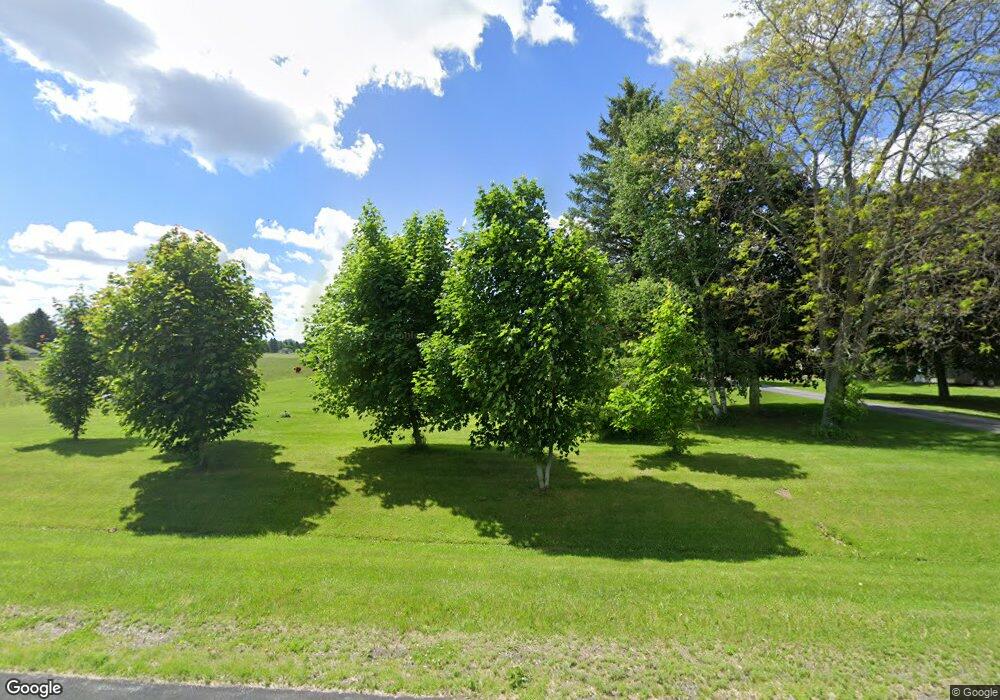
N6356 Branch Rd Plymouth, WI 53073
Estimated Value: $391,000 - $630,000
4
Beds
2
Baths
1,793
Sq Ft
$282/Sq Ft
Est. Value
About This Home
This home is located at N6356 Branch Rd, Plymouth, WI 53073 and is currently estimated at $505,029, approximately $281 per square foot. N6356 Branch Rd is a home located in Sheboygan County with nearby schools including Plymouth High School, St. John Lutheran School, and St. John the Baptist Catholic School.
Ownership History
Date
Name
Owned For
Owner Type
Purchase Details
Closed on
Dec 8, 2021
Sold by
Lensmire Tammy L
Bought by
Lensmire Brian L
Current Estimated Value
Home Financials for this Owner
Home Financials are based on the most recent Mortgage that was taken out on this home.
Original Mortgage
$142,800
Outstanding Balance
$131,108
Interest Rate
2.98%
Mortgage Type
New Conventional
Estimated Equity
$373,921
Create a Home Valuation Report for This Property
The Home Valuation Report is an in-depth analysis detailing your home's value as well as a comparison with similar homes in the area
Home Values in the Area
Average Home Value in this Area
Purchase History
| Date | Buyer | Sale Price | Title Company |
|---|---|---|---|
| Lensmire Brian L | -- | Knight Barry Title |
Source: Public Records
Mortgage History
| Date | Status | Borrower | Loan Amount |
|---|---|---|---|
| Open | Lensmire Brian L | $142,800 |
Source: Public Records
Tax History Compared to Growth
Tax History
| Year | Tax Paid | Tax Assessment Tax Assessment Total Assessment is a certain percentage of the fair market value that is determined by local assessors to be the total taxable value of land and additions on the property. | Land | Improvement |
|---|---|---|---|---|
| 2024 | $4,134 | $314,000 | $80,500 | $233,500 |
| 2023 | $3,234 | $314,100 | $80,600 | $233,500 |
| 2022 | $3,216 | $314,000 | $80,500 | $233,500 |
| 2021 | $3,194 | $219,600 | $71,200 | $148,400 |
| 2020 | $3,254 | $219,600 | $71,200 | $148,400 |
| 2019 | $3,267 | $219,600 | $71,200 | $148,400 |
| 2018 | $3,109 | $219,600 | $71,200 | $148,400 |
| 2017 | $3,041 | $219,600 | $71,200 | $148,400 |
| 2016 | $3,016 | $219,600 | $71,200 | $148,400 |
| 2015 | $3,071 | $219,600 | $71,200 | $148,400 |
| 2014 | $3,092 | $219,600 | $71,200 | $148,400 |
Source: Public Records
Map
Nearby Homes
- W6679 Red Fox Run
- W6331 Westwind Rd
- W5936 Mooney Rd
- Lt4 Linda Ln
- W5975 Pheasant Ln
- W5790 Emerald Ln
- N6707 La Ferme Rd
- N6282 River Heights Dr
- 25 Edna St
- Lt1 N Park Place
- 105 N Park Place
- N7299 County Road C
- 570 Meadow Ridge Ln
- Lt7 County Road C
- 216 Edna St
- 20 E Elizabeth St
- 343 Greystone Cir
- Lt3 E Benson St
- Lt2 County Road C
- Lt8 County Road C
- N6360 Branch Rd
- N6327 Branch Rd
- N6380 Branch Rd
- N6318 Branch Rd
- N6383 County Road P
- N6315 Branch Rd
- N6345 County Road P
- N6329 Branch Rd
- N6393 Branch Rd
- W6396 Barbara Way
- N6344 County Road P
- W6380 Barbara Way
- N6286 Branch Rd
- W6366 Barbara Way
- N6312 County Road P
- W6429 Judy Dr
- W6350 Barbara Way
- N6302 County Road P
- W6428 Judy Dr
- W6419 Judy Dr
