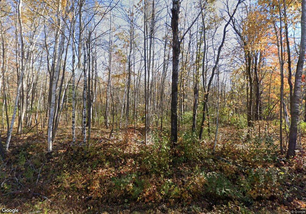
N6390 Cemetary Rd Ladysmith, WI 54848
Estimated Value: $244,000 - $328,000
--
Bed
--
Bath
--
Sq Ft
10
Acres
About This Home
This home is located at N6390 Cemetary Rd, Ladysmith, WI 54848 and is currently estimated at $284,605. N6390 Cemetary Rd is a home with nearby schools including Ladysmith Elementary School, Ladysmith Middle School, and Ladysmith High School.
Ownership History
Date
Name
Owned For
Owner Type
Purchase Details
Closed on
Jul 10, 2024
Sold by
Stoll Properties Llc
Bought by
Lightfoot Douglas
Current Estimated Value
Purchase Details
Closed on
May 8, 2024
Sold by
Estate Of John R Lisuzzo
Bought by
Stoll Properties Llc
Purchase Details
Closed on
Jan 13, 2009
Sold by
Murphy Barbara S
Bought by
Lisuzzo John R
Purchase Details
Closed on
Jul 11, 2008
Sold by
Murphy Barbara S
Bought by
Lisuzzo John R
Purchase Details
Closed on
May 9, 2008
Sold by
Warhol Andrew J
Bought by
Murphy Barbara S
Create a Home Valuation Report for This Property
The Home Valuation Report is an in-depth analysis detailing your home's value as well as a comparison with similar homes in the area
Home Values in the Area
Average Home Value in this Area
Purchase History
| Date | Buyer | Sale Price | Title Company |
|---|---|---|---|
| Lightfoot Douglas | $255,000 | Richard J. Summerfield | |
| Stoll Properties Llc | $195,000 | Rusk County Abstract | |
| Lisuzzo John R | $12,250 | -- | |
| Lisuzzo John R | $24,500 | -- | |
| Murphy Barbara S | $11,500 | -- |
Source: Public Records
Mortgage History
| Date | Status | Borrower | Loan Amount |
|---|---|---|---|
| Closed | Murphy Barbara S | $0 |
Source: Public Records
Tax History Compared to Growth
Tax History
| Year | Tax Paid | Tax Assessment Tax Assessment Total Assessment is a certain percentage of the fair market value that is determined by local assessors to be the total taxable value of land and additions on the property. | Land | Improvement |
|---|---|---|---|---|
| 2024 | $2,413 | $139,100 | $19,700 | $119,400 |
| 2023 | $2,372 | $139,100 | $19,700 | $119,400 |
| 2022 | $2,364 | $139,100 | $19,700 | $119,400 |
| 2021 | $2,239 | $139,100 | $19,700 | $119,400 |
| 2020 | $2,397 | $139,100 | $19,700 | $119,400 |
| 2019 | $2,345 | $139,100 | $19,700 | $119,400 |
| 2018 | $2,405 | $113,300 | $17,100 | $96,200 |
| 2017 | $2,427 | $113,300 | $17,100 | $96,200 |
| 2016 | $2,405 | $113,300 | $17,100 | $96,200 |
| 2015 | $2,896 | $113,300 | $17,100 | $96,200 |
| 2014 | $2,186 | $113,300 | $17,100 | $96,200 |
| 2013 | $1,988 | $113,300 | $17,100 | $96,200 |
Source: Public Records
Map
Nearby Homes
- 1 State Highway 27
- 9636 W Port Arthur Rd
- 8+ Acres On Thornapple River
- N6527 Timber Trail
- N6909 W Elm Rd
- 1403 Aspen Ct
- N5381 State Highway 27
- 1005 E Bruno
- Lot 4 Bruno Ave
- 720 Summit Ave
- 1229 Eagle Ct
- W6926 Mae Rd W
- 814 E 4th St N
- 0 W 5th St N
- 000 E 10th St N
- 600 Park Ave E
- 719 E 11th St N
- 0 Birchwood Ln
- Lot 6 Mae Rd W
- 500 Menasha Ave E
- N6390 Cemetery Rd
- N6364 Cemetary Rd
- N6364 Cemetary Rd
- N6364 Cemetery Rd
- N6428 Cemetary Rd
- N6403 Cemetary Rd
- N6403 Cemetery Rd
- N6316 Cemetary Rd
- 6316 Cemetery Rd
- N6457 Cemetary Rd
- N6488 Cemetary Rd
- N6488 Cemetary Rd
- N6488 Cemetary Rd
- N6499 Cemetary Rd
- n 6499 Cemetery Rd
- W8087 E Cut Off Rd
- N6499 Cemetery Rd
- 8186 E Cut Off Rd
- W8186 E Cut Off Rd
- W8210 E Cut Off Rd