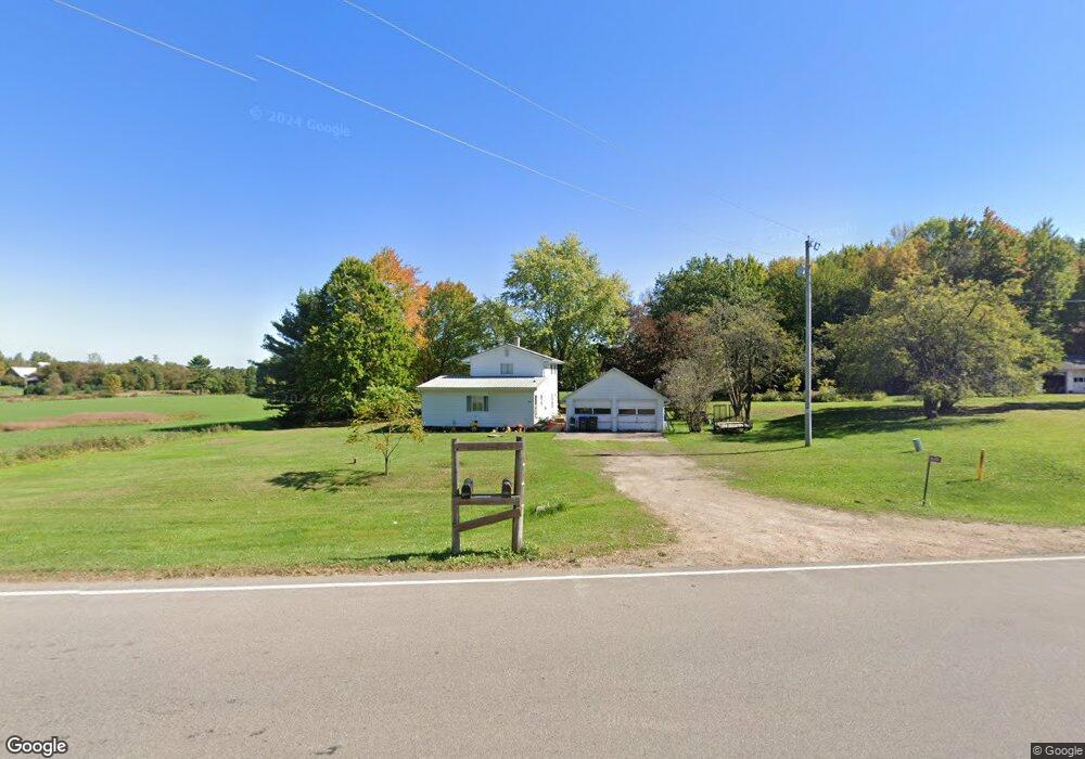
N6404 State Highway 47 55 Shawano, WI 54166
Estimated Value: $99,000 - $317,000
2
Beds
1
Bath
1,340
Sq Ft
$154/Sq Ft
Est. Value
About This Home
This home is located at N6404 State Highway 47 55, Shawano, WI 54166 and is currently estimated at $205,941, approximately $153 per square foot. N6404 State Highway 47 55 is a home located in Shawano County with nearby schools including Hillcrest Primary School, Brener Elementary School, and Shawano Community Middle School.
Ownership History
Date
Name
Owned For
Owner Type
Purchase Details
Closed on
Jul 12, 2024
Sold by
Montoure Warren M
Bought by
Roberts Patrick T and Roberts Deanna D.
Current Estimated Value
Purchase Details
Closed on
Dec 9, 2021
Sold by
Estate Of Virginia S Montoure
Bought by
Montoure Calvin M
Create a Home Valuation Report for This Property
The Home Valuation Report is an in-depth analysis detailing your home's value as well as a comparison with similar homes in the area
Home Values in the Area
Average Home Value in this Area
Purchase History
| Date | Buyer | Sale Price | Title Company |
|---|---|---|---|
| Roberts Patrick T | $110,000 | Bay Title & Abstract, Inc. | |
| Montoure Calvin M | $121,000 | J. Edison Woods, Jr. | |
| Montoure Warren M | $92,700 | J. Edison Woods, Jr. |
Source: Public Records
Tax History Compared to Growth
Tax History
| Year | Tax Paid | Tax Assessment Tax Assessment Total Assessment is a certain percentage of the fair market value that is determined by local assessors to be the total taxable value of land and additions on the property. | Land | Improvement |
|---|---|---|---|---|
| 2024 | $1,700 | $113,700 | $9,400 | $104,300 |
| 2023 | $1,692 | $113,700 | $9,400 | $104,300 |
| 2022 | $1,500 | $113,700 | $9,400 | $104,300 |
| 2021 | $1,353 | $84,800 | $7,800 | $77,000 |
| 2020 | $1,330 | $84,800 | $7,800 | $77,000 |
| 2019 | $1,302 | $84,800 | $7,800 | $77,000 |
| 2018 | $1,273 | $84,800 | $7,800 | $77,000 |
| 2017 | $1,269 | $84,800 | $7,800 | $77,000 |
| 2016 | $1,272 | $84,800 | $7,800 | $77,000 |
| 2015 | $1,311 | $84,800 | $7,800 | $77,000 |
| 2014 | $131,564 | $84,800 | $7,800 | $77,000 |
| 2013 | $1,456 | $84,800 | $7,800 | $77,000 |
Source: Public Records
Map
Nearby Homes
- N6487 St 47 55 Hwy
- N6002 Wolf River Rd
- N5938 Wolf River Rd
- N6450 Fox Ln
- W6835 Curt Black Rd
- W8141 Broadway Rd
- N7119 River Dr
- 531 N Main St
- 519 N Main St
- W7910 Koeller Ln
- 114 Circle Dr
- 0 Buss Ct
- 414 N Lafayette St
- 317 W 3rd St
- 280 Alpine Dr
- 433 Fairview Way
- 511 E 5th St
- 127 Channel Trace
- 130 S Andrews St
- 206 S Lincoln St
- W7516 Old Hwy A
- N6427 State Highway 47 55
- W7528 Old Hwy A
- N6463 State Highway 47 55
- N6463 State Highway 47 55
- N6487
- N6487 State Highway 47 55
- W7443 Montoure Rd
- N6499 State Highway 47 55
- N6326 State Highway 47 55
- W7586 Christmas Tree Ln
- N6337 St 47-55 Hwy
- W7389 Montoure Rd
- W7634 County Road A
- W7634 County Road A
- W7634 County Road A
- N6290 State Highway 47 55
- N6544 State Highway 47 55
- W7623 County Road A
- W7654 County Road A