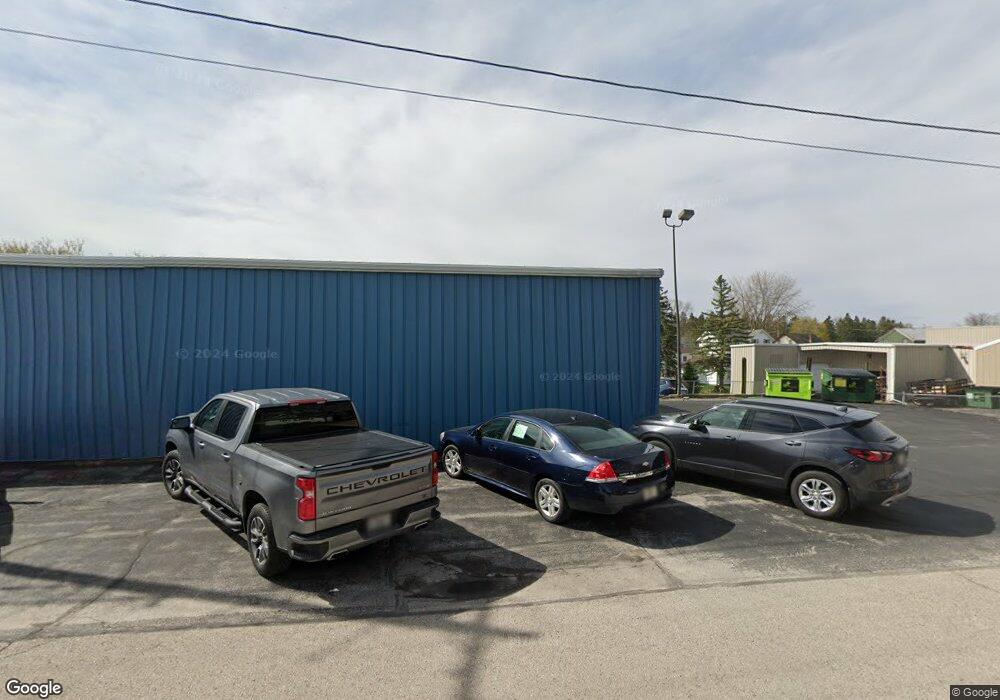
N6416 Hwy G Saint Cloud, WI 53079
5
Beds
3
Baths
2,283
Sq Ft
2.84
Acres
About This Home
This home is located at N6416 Hwy G, Saint Cloud, WI 53079. N6416 Hwy G is a home located in Fond du Lac County with nearby schools including Campbellsport High School.
Ownership History
Date
Name
Owned For
Owner Type
Purchase Details
Closed on
Feb 10, 2011
Sold by
Knuth Ann E and Ann E Knuth Trust
Bought by
Department Of Transporation
Create a Home Valuation Report for This Property
The Home Valuation Report is an in-depth analysis detailing your home's value as well as a comparison with similar homes in the area
Home Values in the Area
Average Home Value in this Area
Purchase History
| Date | Buyer | Sale Price | Title Company |
|---|---|---|---|
| Department Of Transporation | -- | None Available |
Source: Public Records
Tax History Compared to Growth
Tax History
| Year | Tax Paid | Tax Assessment Tax Assessment Total Assessment is a certain percentage of the fair market value that is determined by local assessors to be the total taxable value of land and additions on the property. | Land | Improvement |
|---|---|---|---|---|
| 2024 | -- | $0 | $0 | $0 |
| 2023 | $0 | $0 | $0 | $0 |
| 2022 | $0 | $0 | $0 | $0 |
| 2021 | $3,078 | $0 | $0 | $0 |
| 2020 | $3,078 | $0 | $0 | $0 |
| 2019 | $3,078 | $0 | $0 | $0 |
| 2018 | $0 | $0 | $0 | $0 |
| 2017 | -- | $0 | $0 | $0 |
| 2016 | -- | $0 | $0 | $0 |
| 2015 | -- | $0 | $0 | $0 |
| 2014 | $3,078 | $0 | $0 | $0 |
| 2013 | $3,078 | $0 | $0 | $0 |
Source: Public Records
Map
Nearby Homes
- W981 State Road 23
- N6107 County Road U
- 1005 Main St
- 1302 Main St
- Balmore II Plan at Stone Ridge Estates
- Montrose Manor Plan at Stone Ridge Estates
- Styles Plan at Stone Ridge Estates
- Isabelle II Plan at Stone Ridge Estates
- Barbara Plan at Stone Ridge Estates
- Glenwood Plan at Stone Ridge Estates
- Springfield Plan at Stone Ridge Estates
- Chapel Hill Plan at Stone Ridge Estates
- Elizabeth II Plan at Stone Ridge Estates
- Greystone Plan at Stone Ridge Estates
- Sonja Plan at Stone Ridge Estates
- Isabelle Plan at Stone Ridge Estates
- Sarah Plan at Stone Ridge Estates
- Sarah III Plan at Stone Ridge Estates
- Simen Plan at Stone Ridge Estates
- Glenwood II Plan at Stone Ridge Estates
- N6416 County Road G
- W345 State Road 23
- N6411 County Road G
- W349 State Road 23
- W213 State Road 23
- N6570 County Road G
- W435 Chickadee Dr
- W151 State Road 23
- W461 Chickadee Dr
- N6592 County Road G
- W471 Chickadee Dr
- N6243 County Road G
- W140 Chickadee Dr
- N6466 Hickory Rd
- N6505 Hickory Rd
- W508 Chickadee Dr
- W518 State Road 23
- N6172 County Road G
- N6222 Division Rd
- N6336 Division Rd
