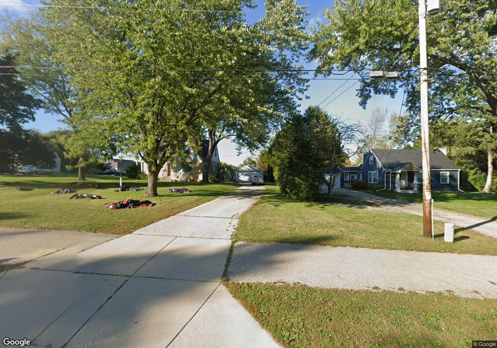
N64W12988 Mill Rd Menomonee Falls, WI 53051
Estimated Value: $304,000 - $374,000
2
Beds
1
Bath
998
Sq Ft
$350/Sq Ft
Est. Value
About This Home
This home is located at N64W12988 Mill Rd, Menomonee Falls, WI 53051 and is currently estimated at $349,188, approximately $349 per square foot. N64W12988 Mill Rd is a home located in Waukesha County with nearby schools including Riverside Elementary School, North Middle School, and Menomonee Falls High School.
Ownership History
Date
Name
Owned For
Owner Type
Purchase Details
Closed on
Feb 6, 2017
Sold by
Muckler Leona J
Bought by
Calvin Margaret Ann
Current Estimated Value
Home Financials for this Owner
Home Financials are based on the most recent Mortgage that was taken out on this home.
Original Mortgage
$130,400
Outstanding Balance
$108,326
Interest Rate
4.32%
Mortgage Type
New Conventional
Estimated Equity
$240,862
Purchase Details
Closed on
Mar 11, 2011
Sold by
Muckler Leona J
Bought by
Village Of Menomonee Falls
Create a Home Valuation Report for This Property
The Home Valuation Report is an in-depth analysis detailing your home's value as well as a comparison with similar homes in the area
Home Values in the Area
Average Home Value in this Area
Purchase History
| Date | Buyer | Sale Price | Title Company |
|---|---|---|---|
| Calvin Margaret Ann | $163,000 | None Available | |
| Village Of Menomonee Falls | $1,175 | None Available |
Source: Public Records
Mortgage History
| Date | Status | Borrower | Loan Amount |
|---|---|---|---|
| Open | Calvin Margaret Ann | $130,400 |
Source: Public Records
Tax History Compared to Growth
Tax History
| Year | Tax Paid | Tax Assessment Tax Assessment Total Assessment is a certain percentage of the fair market value that is determined by local assessors to be the total taxable value of land and additions on the property. | Land | Improvement |
|---|---|---|---|---|
| 2024 | $3,445 | $289,500 | $144,600 | $144,900 |
| 2023 | $3,338 | $289,500 | $144,600 | $144,900 |
| 2022 | $2,829 | $165,300 | $99,200 | $66,100 |
| 2021 | $2,716 | $165,300 | $99,200 | $66,100 |
| 2020 | $2,809 | $165,300 | $99,200 | $66,100 |
| 2019 | $2,671 | $163,000 | $99,200 | $63,800 |
| 2018 | $2,772 | $163,000 | $99,200 | $63,800 |
| 2017 | $3,530 | $203,400 | $99,200 | $104,200 |
| 2016 | $3,601 | $203,400 | $99,200 | $104,200 |
| 2015 | $3,588 | $203,400 | $99,200 | $104,200 |
| 2014 | $3,697 | $203,400 | $99,200 | $104,200 |
| 2013 | $3,697 | $203,400 | $99,200 | $104,200 |
Source: Public Records
Map
Nearby Homes
- N63W13412 Hummingbird Way
- N66W12812 Corryton Ct
- 11958 W Mill Rd Unit 24
- W134N6759 Wild Rose Ct
- 11910 W Mill Rd Unit 6
- 11957 W Appleton Ave Unit 4
- 11927 W Appleton Ave Unit 6
- 11937 W Appleton Ave Unit 14
- 11937 W Appleton Ave Unit 20
- 11917 W Appleton Ave Unit 6
- W137N6161 Weyer Farm Ct
- 6241 N 118th St
- 6183 N 118th St
- 5861 N 121st St
- N64W14282 Mill Rd
- 6172 N 116th St
- 5935 N 117th St
- W139N6995 Bay Ridge Ln
- 7118 N 124th St
- N72W13429 Good Hope Rd
- N64W13022 Mill Rd
- N64W12958 Mill Rd
- N64W12920 Mill Rd
- W130N6454 Crestwood Dr
- N64W12929 Mill Rd
- N64W13039 Mill Rd
- N64W13101 Crestwood Dr
- N64W12921 Daylily Ct
- W130N6480 Crestwood Dr
- N64W12885 Mill Rd
- N64W12939 Daylily Ct
- N64W12883 Daylily Ct
- N64W13125 Crestwood Dr
- N64W13099 Mill Rd
- N64W12850 Mill Rd
- W130N6375 River Dr
- W130N6498 Crestwood Dr
- W130N6461 Crestwood Dr
- N64W13123 Mill Rd
- W127N6367 Sumac Ct